
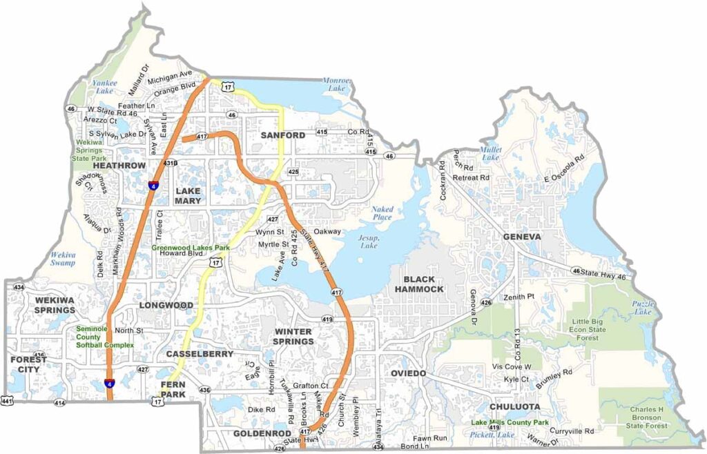
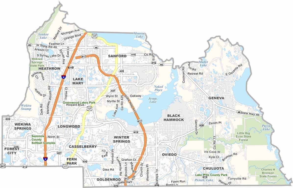
Seminole County is located just north of Orlando and offers a quieter alternative to the region’s busy theme parks. Sanford serves as the county seat and is known for its charming riverfront, historic character, and growing craft beer scene.
The Wekiva River forms much of the county’s western boundary and provides excellent opportunities for kayaking, tubing, and wildlife viewing. Natural springs are found throughout the area, while the county’s landscape combines suburban communities with protected natural spaces. Lake Mary and Heathrow are known for their upscale neighborhoods and attract many professionals, while Oviedo is famous for the chickens that freely roam its downtown.
The Cross Seminole Trail offers miles of opportunities for hiking and cycling. Technology companies have also been moving into the area, contributing to the county’s rapid growth. Despite its suburban development, Seminole County still preserves pockets of old Florida charm, offering a mix of outdoor recreation, growing communities, and easy access to Orlando.
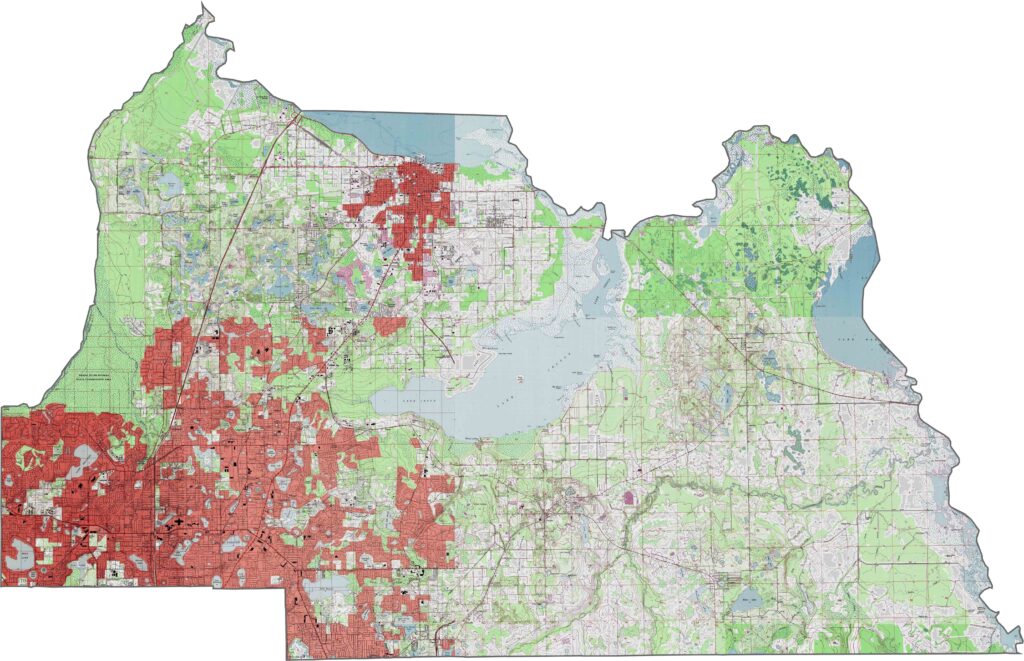
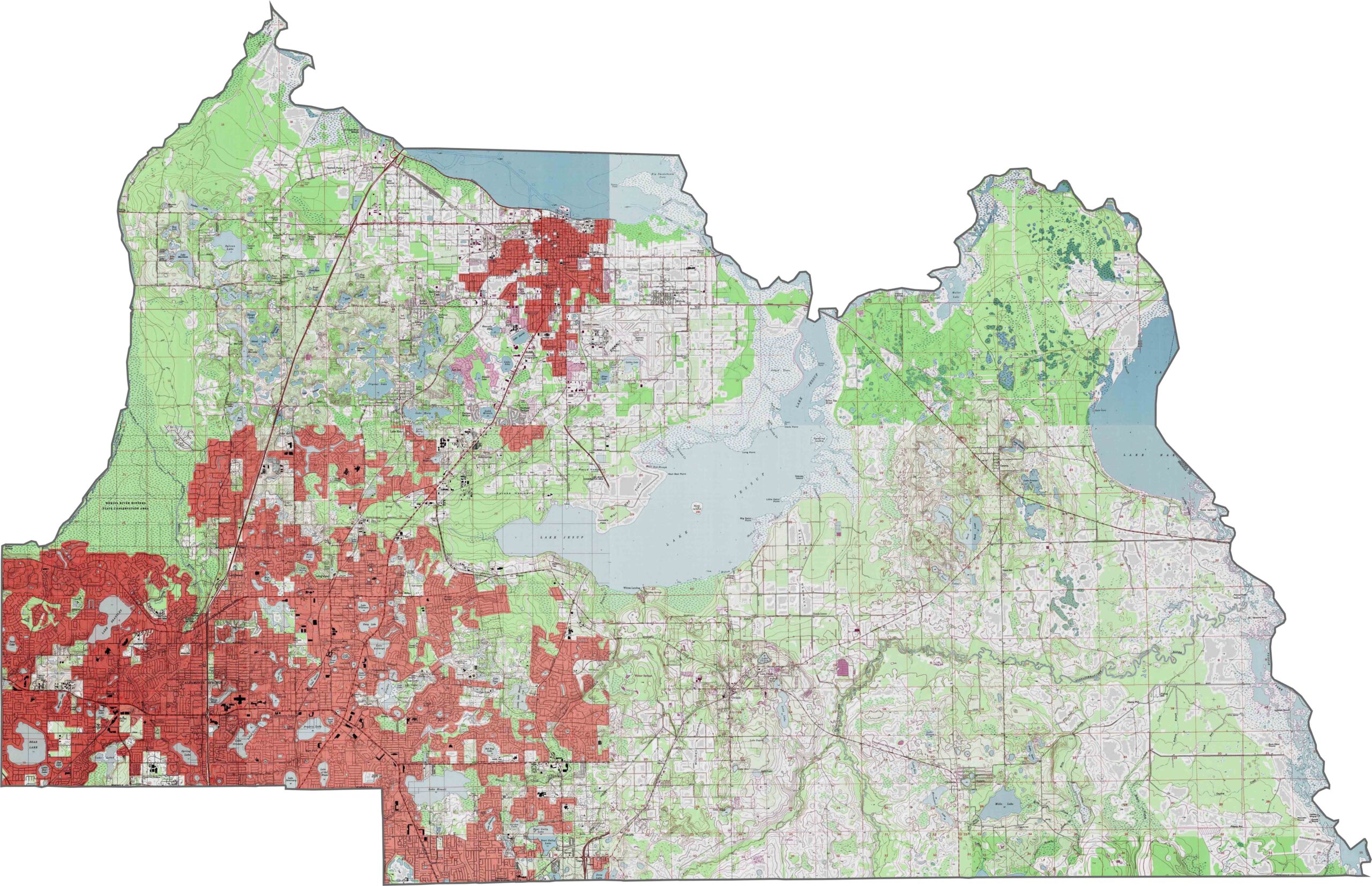
Seminole County features rolling hills and numerous lakes across its western portions. Geneva Hill, one of the county’s highest points, rises nearly 90 feet in the central region. Toward the east, the land gradually slopes into the St. Johns River floodplain, where wetlands become more prominent. Our zoom tool lets you explore these features in greater detail on the Seminole County topographic map.
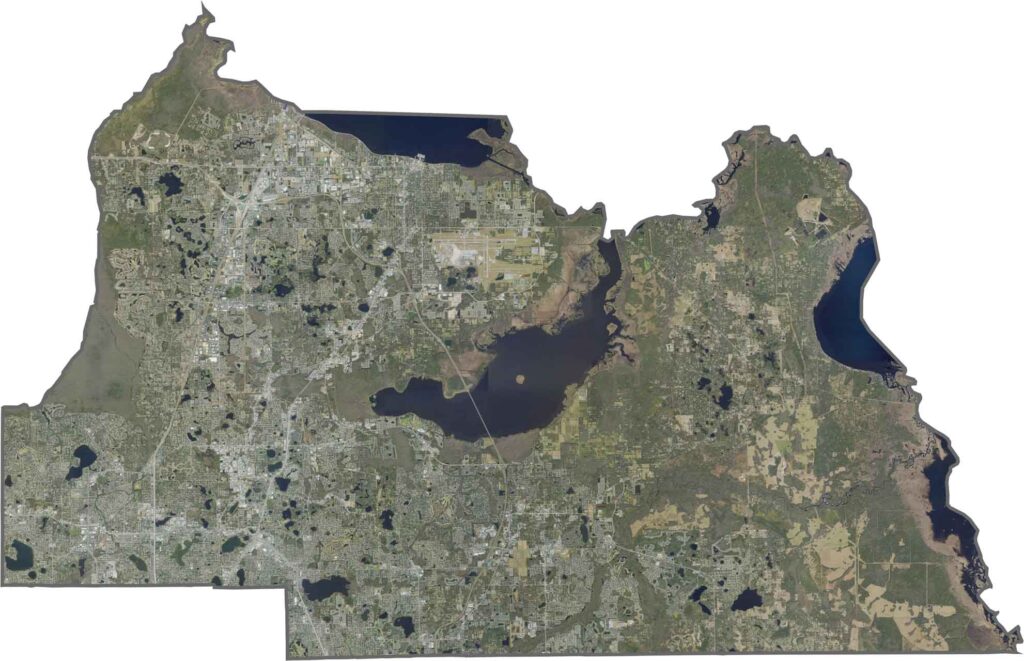
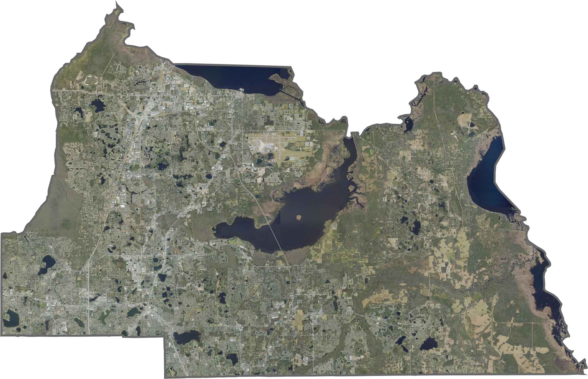
This satellite map shows a mix of suburban development, lakes, and protected wetlands across Seminole County. The Wekiva River basin and Lake Jesup are prominent features, while many residential communities have developed around the area’s natural landscapes. Use our zoom tool to take a closer look at the blend of urban and green spaces.
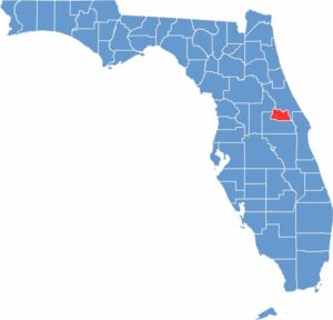
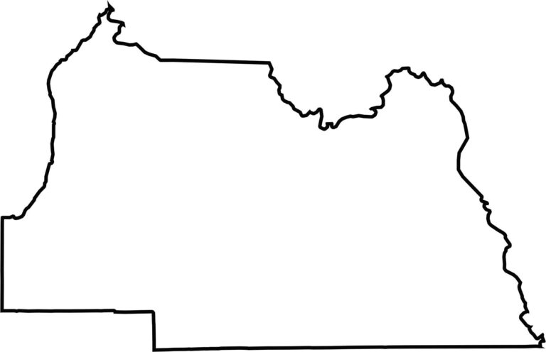
Our blank map shows Seminole County as a compact, nearly rectangular area shaped by early land surveys. The St. Johns River forms much of its eastern boundary, while the western side borders Lake County and its rolling terrain. The outline emphasizes the county’s small, well-defined shape.








Looking to find a county map of Florida? Our Florida county map breaks down all 67 counties. Explore the Sunshine State with detailed topographic, satellite, and outline maps.