Taylor County, Georgia

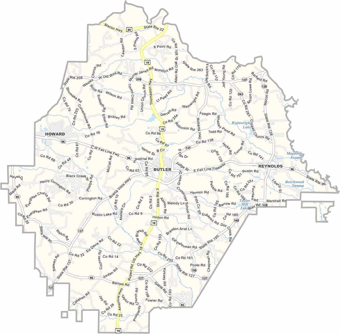
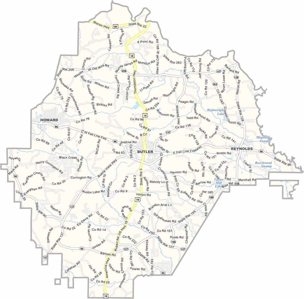
Taylor County is located in west-central Georgia and was established in 1852. Butler, the county seat, serves as the center of this rural community, which is home to approximately 8,000 residents. The county is known for its peaceful countryside and strong agricultural traditions.

Agriculture remains a key part of the local economy, with peaches, timber, and other crops contributing to the region’s long-standing farming heritage. The Flint River forms the county’s eastern border, offering scenic views and opportunities for fishing, boating, and other outdoor recreation.

Taylor County has maintained its small-town charm and close-knit community over the years. Historic downtown areas, local festivals, and annual events such as the Fall Festival celebrate the county’s heritage while bringing residents and visitors together throughout the year.
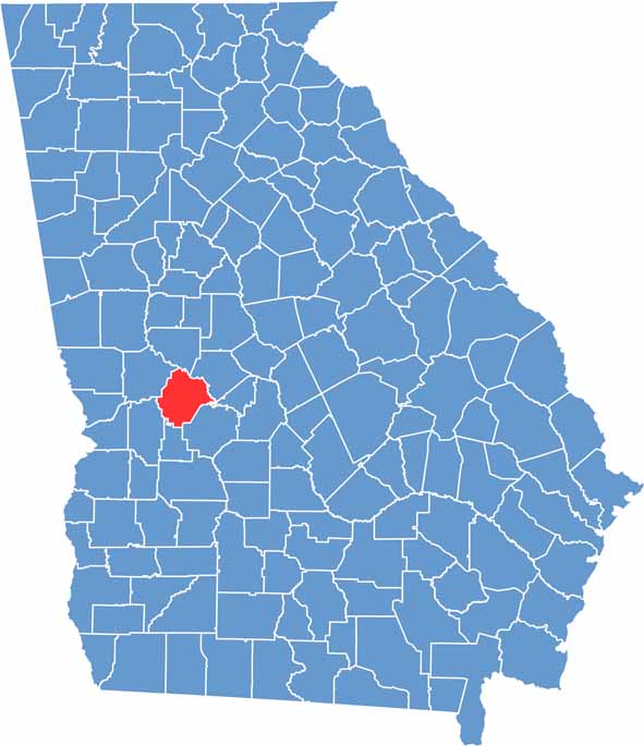

Taylor location map showing its location in Georgia.
Category Details
County Name Taylor County
County Seat Butler
Cities, Towns, and Communities Butler (county seat), Reynolds, Mauk, and other small communities
Interstates and Highways U.S. Route 19, Georgia State Route 96, Georgia State Route 128
Etymology Named after Zachary Taylor, the 12th President of the United States
FIPS Code 13-269
Total Area (Land and Water) 380 square miles (land: 377 sq mi, water: 3 sq mi)
Time Zone Eastern Time Zone (ET)
State Georgia
Coordinates 32.5694° N, 84.2037° W
Major Landmarks Taylor County Courthouse, Lake Talbot
Adjacent Counties (and Direction) Upson County (North), Crawford County (Northeast), Peach County (East), Macon County (Southeast), Schley County (South), Marion County (Southwest), Talbot County (Northwest)
Population Approximately 8,000
Scroll to Top