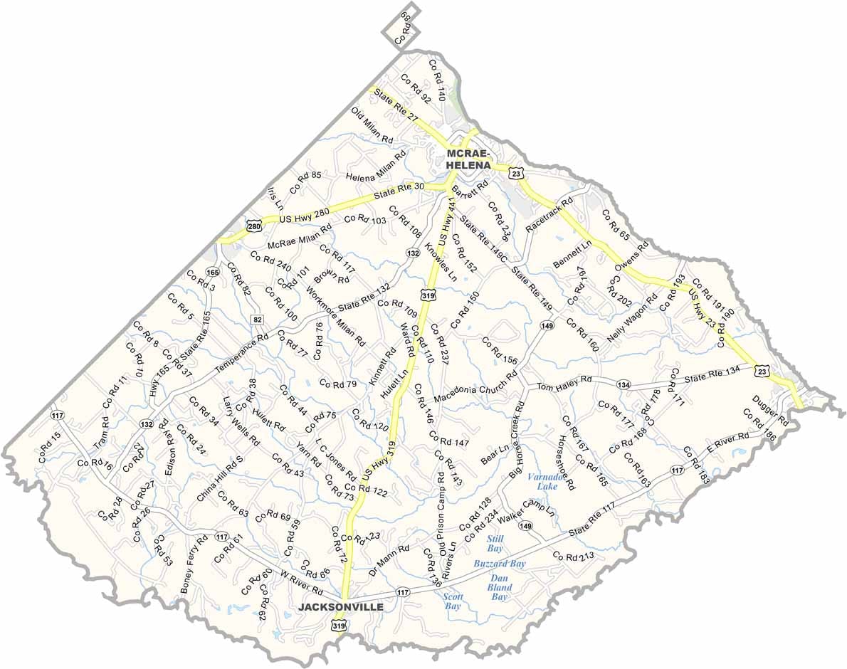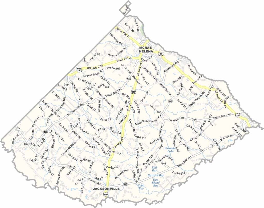
Telfair County, Georgia

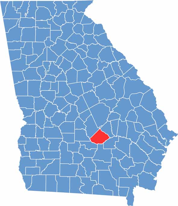
Telfair County is located in south-central Georgia and was established in 1807. Named after former Georgia Governor Edward Telfair, the county is rich in history and rural charm. McRae-Helena serves as the county seat and is the center of local government and community life.

Home to about 16,000 residents, Telfair County remains largely rural, with agriculture and forestry continuing to support the local economy. The Ocmulgee River forms the county’s southern border, providing scenic beauty and opportunities for fishing, boating, and other outdoor recreation.

One of the county’s top attractions is Little Ocmulgee State Park, which offers camping, golfing, hiking, and a variety of outdoor activities. Throughout the year, local festivals and community events celebrate Telfair County’s heritage, culture, and welcoming small-town atmosphere.

Telfair County map showing towns and roads in Georgia.
Category Details
County Name Telfair County
County Seat McRae-Helena
Cities, Towns, and Communities McRae-Helena (county seat), Lumber City, Scotland, and other small communities
Interstates and Highways U.S. Route 23, U.S. Route 341, Georgia State Route 117, Georgia State Route 31
Etymology Named after Edward Telfair, a former Governor of Georgia
FIPS Code 13-271
Total Area (Land and Water) 1,246 square miles (land: 1,227 sq mi, water: 19 sq mi)
Time Zone Eastern Time Zone (ET)
State Georgia
Coordinates 32.0441° N, 82.9954° W
Major Landmarks Telfair County Courthouse, McRae-Helena Historic District, Pineview Historic District
Adjacent Counties (and Direction) Wheeler County (Northeast), Jeff Davis County (Southeast), Coffee County (South), Ben Hill County (Southwest), Wilcox County (West), Dodge County (Northwest), Laurens County (North)
Population Approximately 10,500
Scroll to Top