
Taylor County is located in west-central Texas. Abilene, the county seat, is a city with a rich history. Dyess Air Force Base is also located here, bringing a steady stream of new faces to the area.
Locals look forward to the annual West Texas Fair & Rodeo. Buffalo Gap Historic Village gives visitors a glimpse into 19th-century Texas life. Summers here are hot. Really hot.
But the people are friendly, and the BBQ joints serve up some seriously good brisket. Taylor County’s economy depends heavily on agriculture, especially cotton production. The landscape is mostly flat, with rolling hills toward the south.
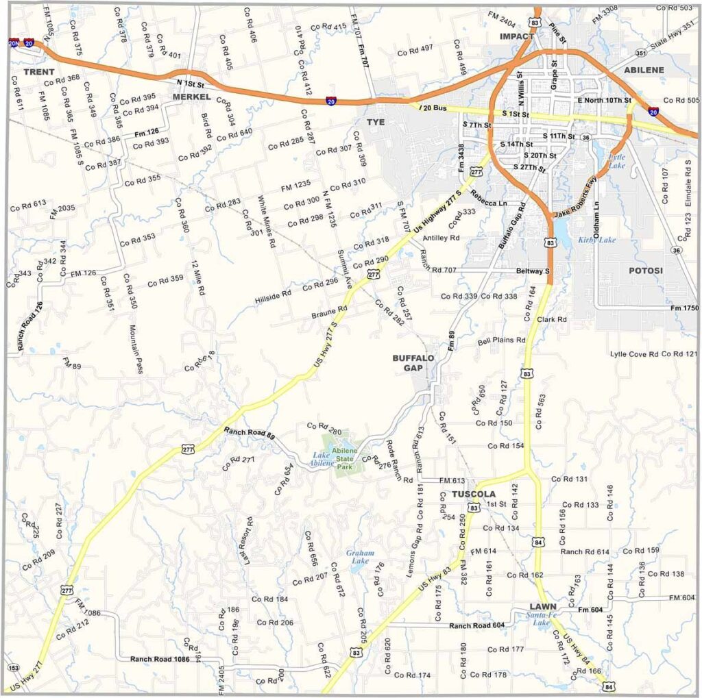
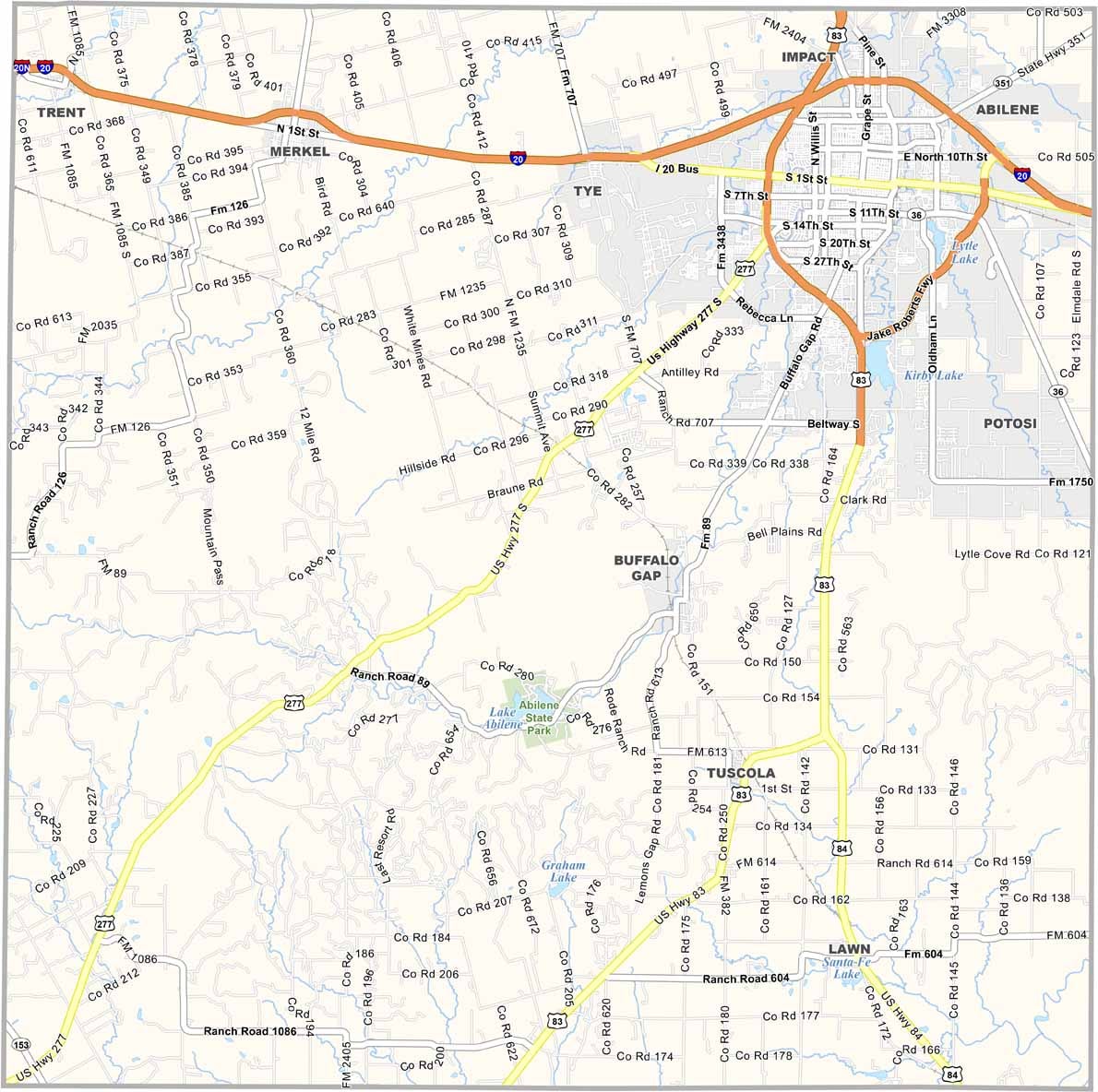
Taylor County has a well-connected highway system centered around Abilene. I-20 runs across the northern side, carrying most of the long-distance traffic, while U.S. Highway 83 runs north to south. Use our zoom tool to explore the county’s intersections in greater detail.
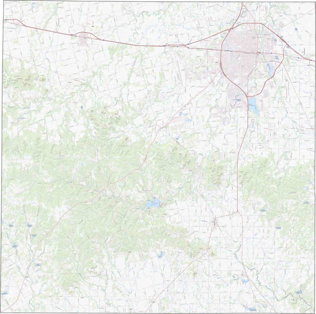
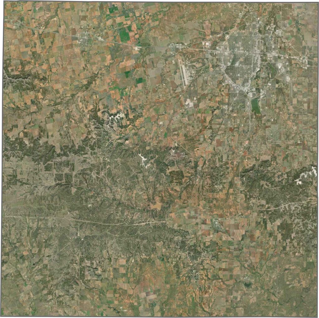
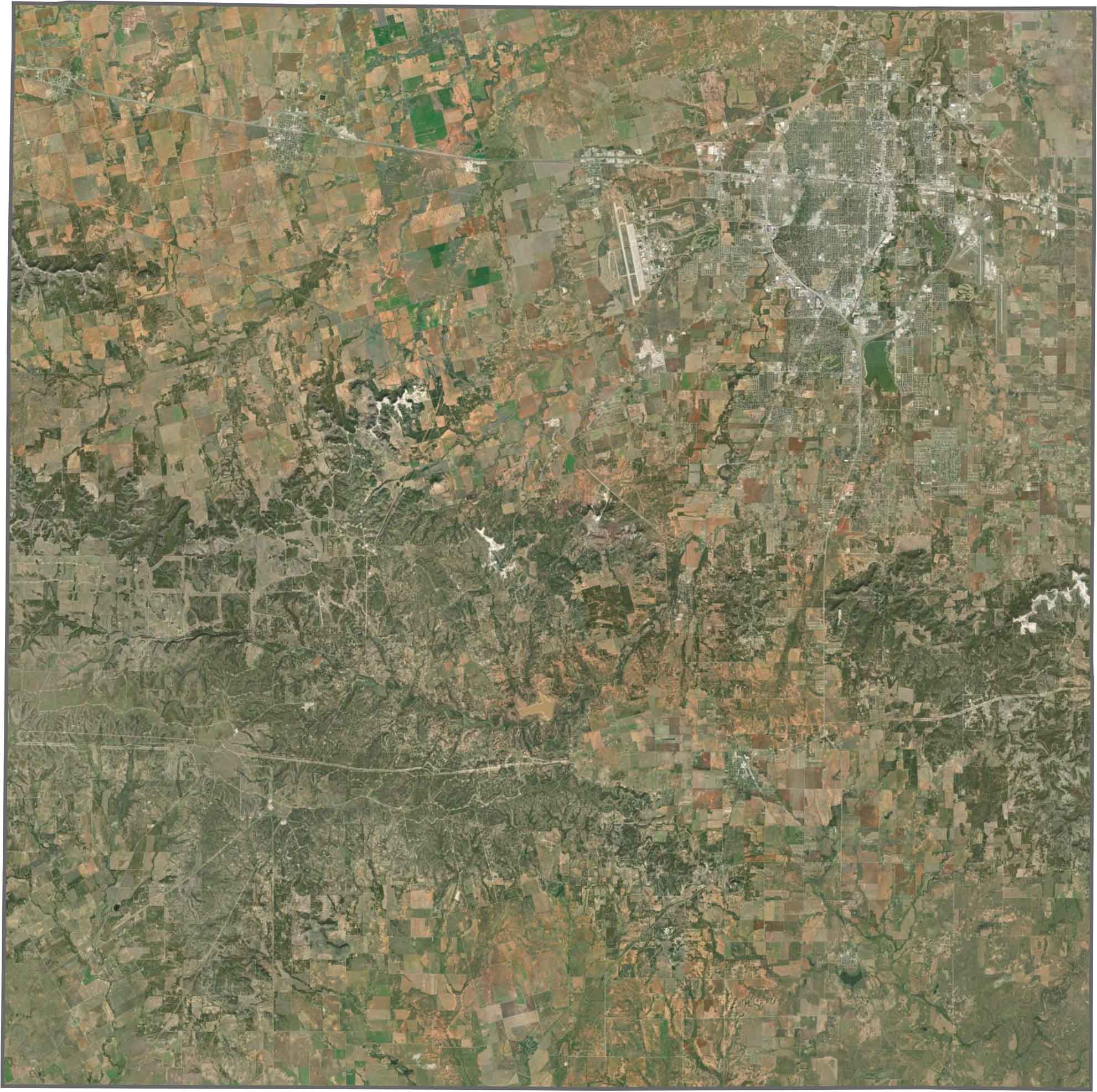
Abilene stands out as a dense cluster, while most of the county appears dry and open. Tan and light green areas cover the landscape, with fields, scrubland, and faint creeks visible throughout.
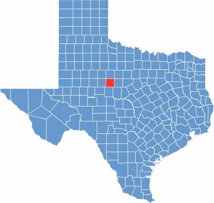
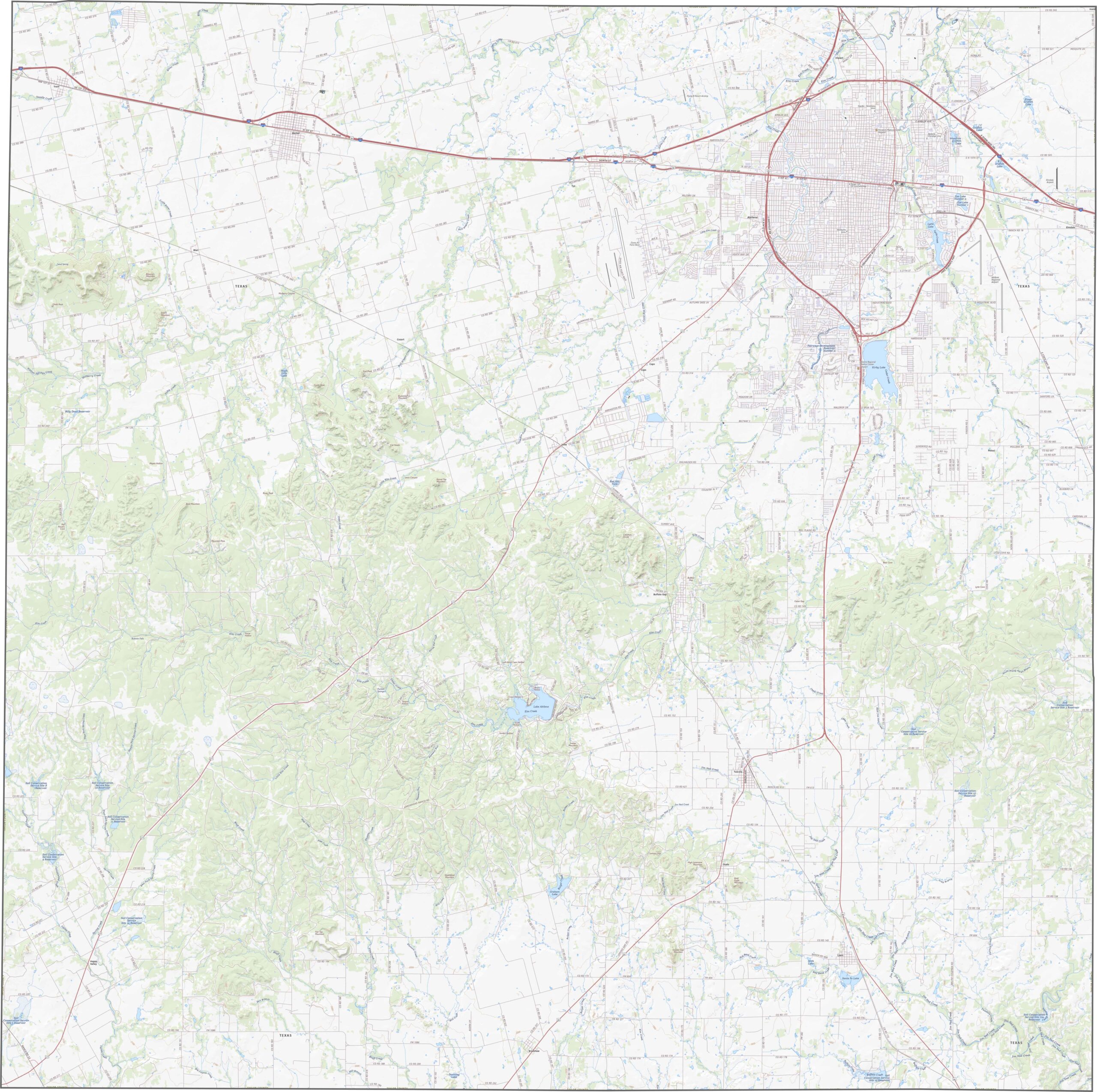
Taylor County has a roughly square shape and sits near the center of Texas. None of its borders follow a river, and the county is surrounded entirely by other Texas counties.









Discover all 254 legendary Texas county maps, covering the Lone Star State from the Panhandle to the Rio Grande. That means more rodeos, honky-tonk, and Texas BBQ.