
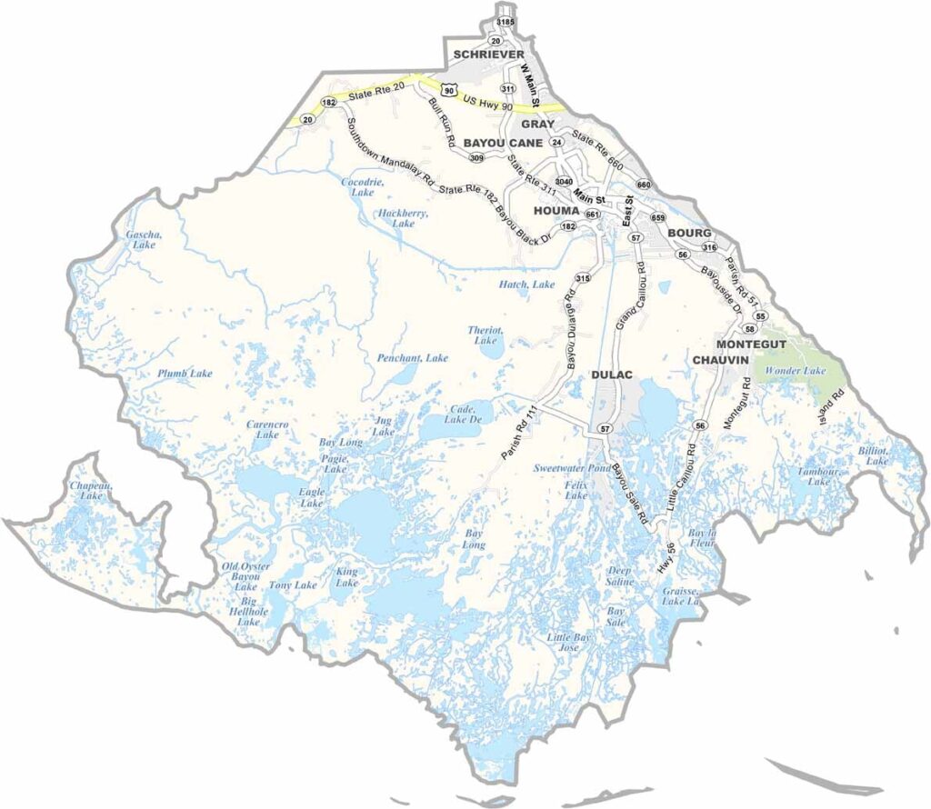
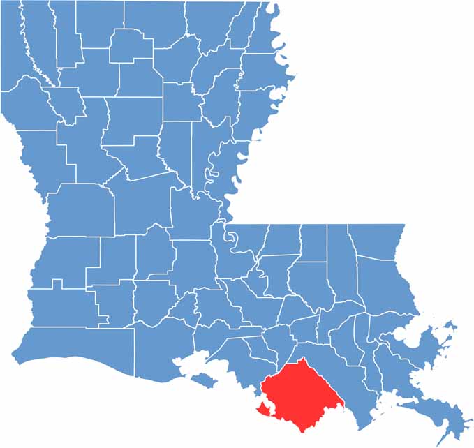
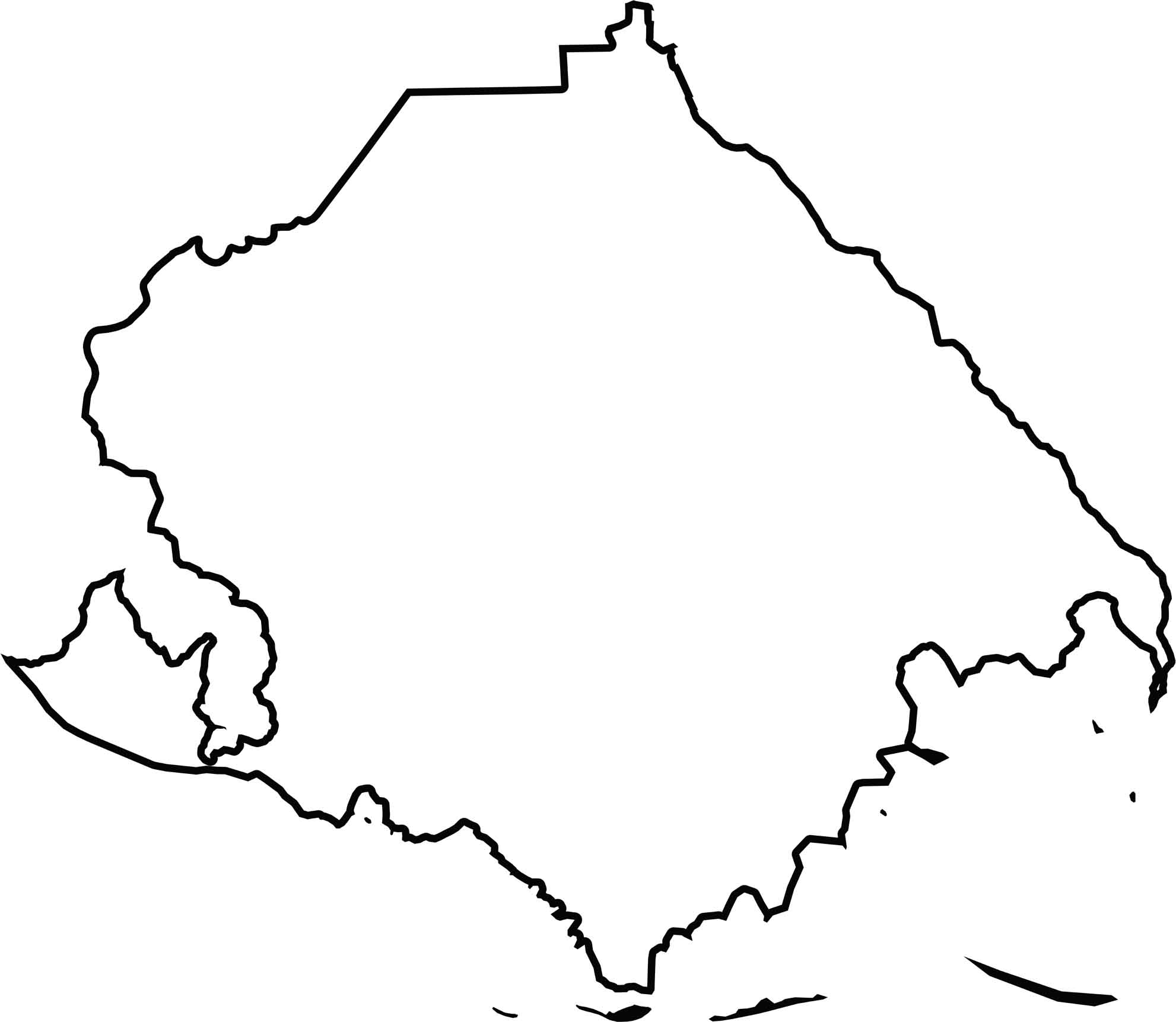
Terrebonne Parish sits in southeastern Louisiana, about an hour’s drive southwest of New Orleans. It’s Cajun country through and through, with the parish seat of Houma located in the northern part of the parish.
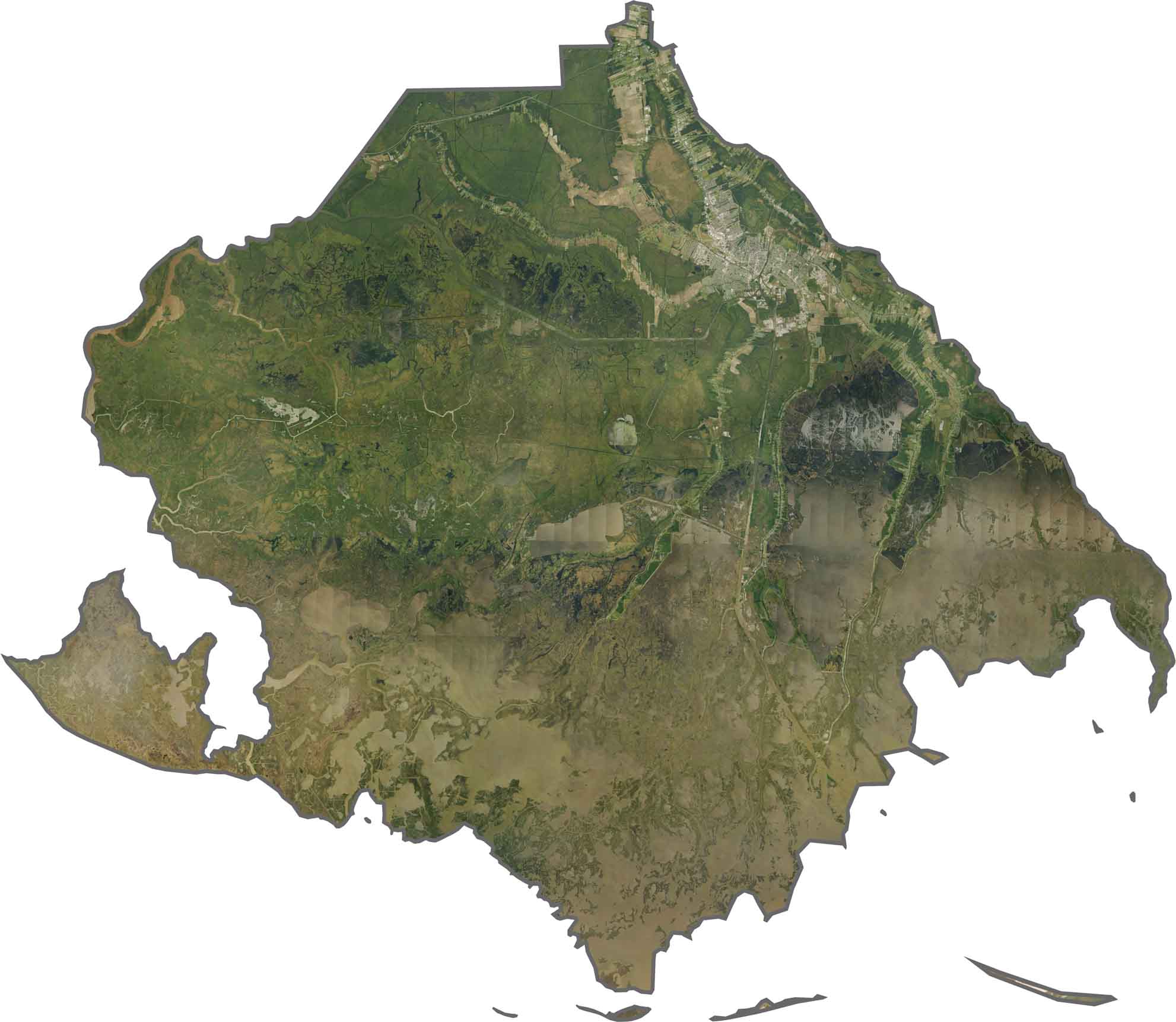
Locals know how to enjoy life, whether they’re exploring the bayou or digging into a plate of fresh crawfish. The parish is filled with swamps, marshes, and coastal wetlands, creating a landscape that is distinctly south Louisiana.
Fishing is a major part of life in Terrebonne Parish, both as an important industry and a favorite pastime. Its winding bayous and wetlands offer abundant opportunities for outdoor recreation and make the parish a memorable destination for nature lovers and anyone looking to experience authentic Louisiana culture.
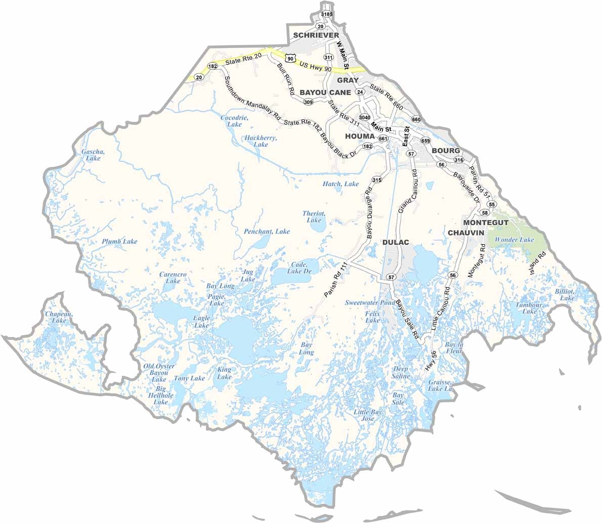
Water shapes transportation here more than roads do. LA 24 serves as a lifeline to Houma, while LA 311 and LA 182 create a fragile network across the marshes. The Gulf Intracoastal Waterway runs alongside the highways, showing how roads and canals compete as transportation routes.
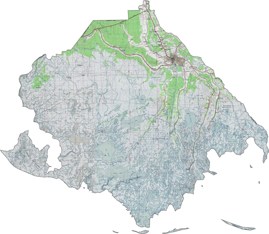
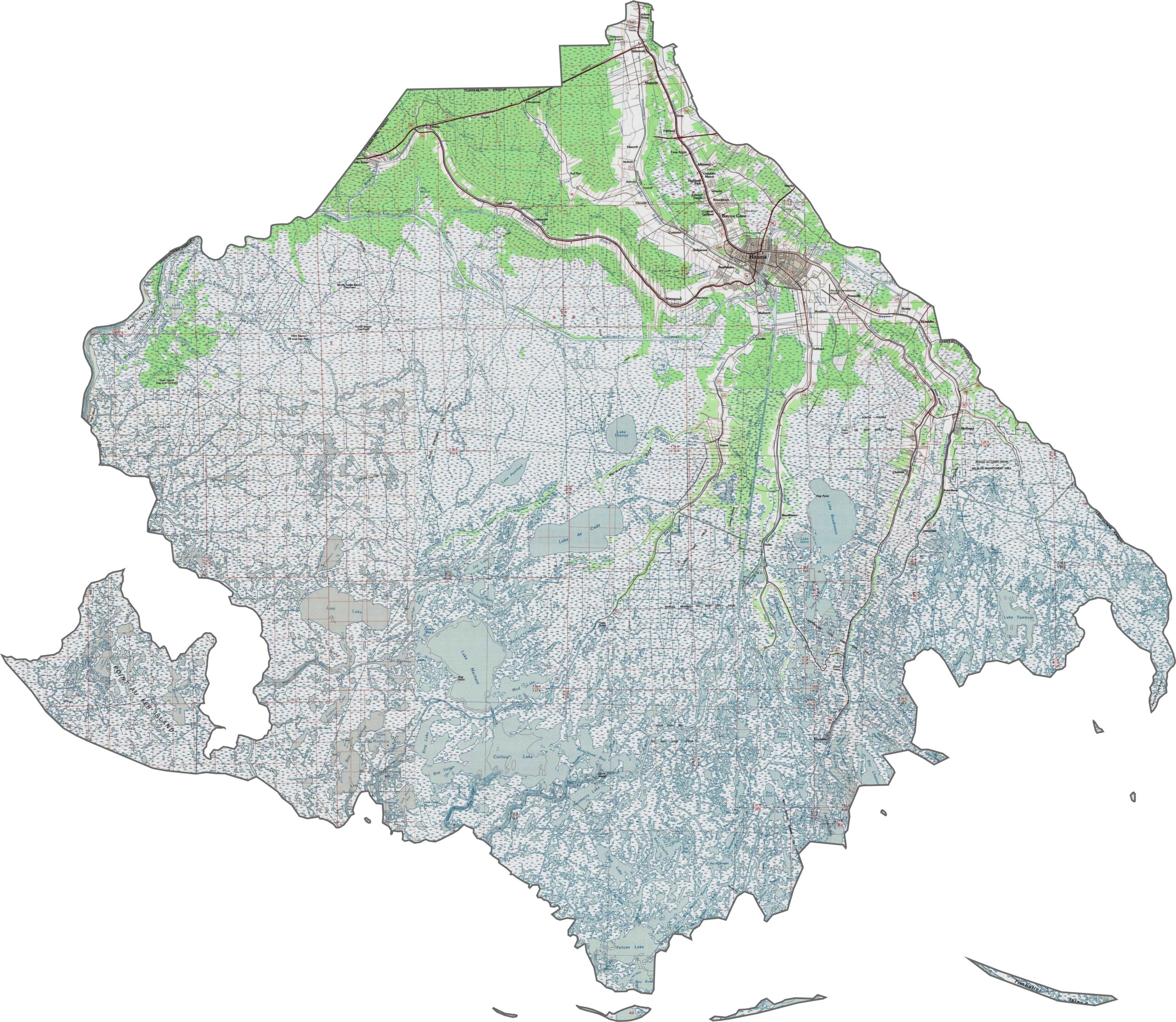
The landscape is a disappearing patchwork of wetlands and oil infrastructure. Houma stands out as an island of development in this watery world. Barrier islands like Isle de Jean Charles help protect the coast from erosion.
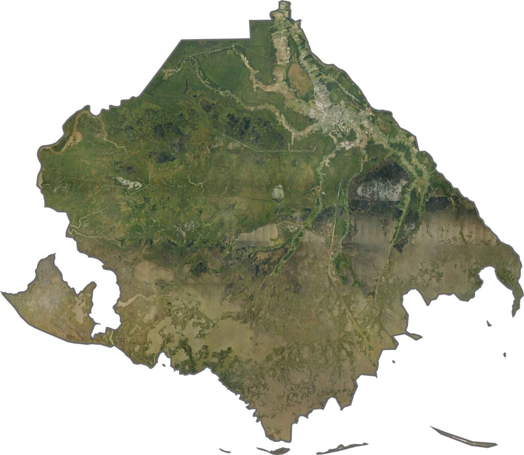
The parish stretches southward until its boundaries eventually fade into the Gulf. No state borders touch the area. Instead, the landscape is an endless transition from land to water.






In Louisiana, you’ll taste the spirit of the state in its hot sauce and hear it in the midnight blues. Laissez les bon temps rouler! Explore our Louisiana parish maps to discover the state’s unique communities, winding bayous, and rich landscapes. Come for the beignets. Stay for the bayou.