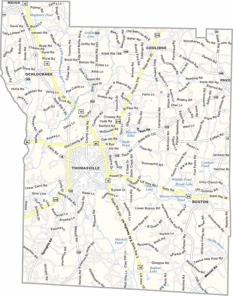
Thomas County, Georgia

Thomas County is located in southwest Georgia along the Florida border and was established in 1825. Home to around 45,000 residents, the county has a strong agricultural heritage, with farming continuing to play an important role in the local economy.

Thomasville, the county seat and largest city, is known as the "City of Roses" and hosts the annual Thomasville Rose Show and Festival, one of the area's most celebrated events. Its historic downtown, tree-lined streets, and preserved architecture make it one of Georgia’s most charming communities.

The county is also home to Thomas University, a private institution offering undergraduate and graduate degree programs. History enthusiasts can visit the Lapham-Patterson House, a National Historic Landmark renowned for its distinctive Victorian architecture and innovative design.
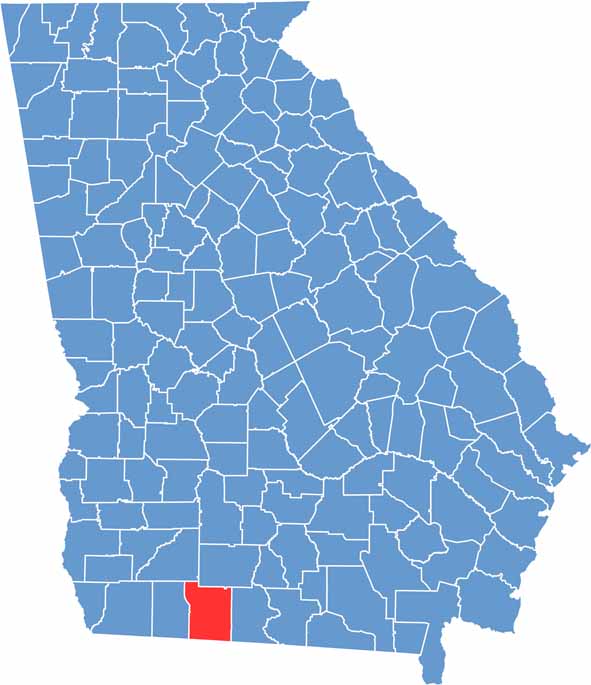

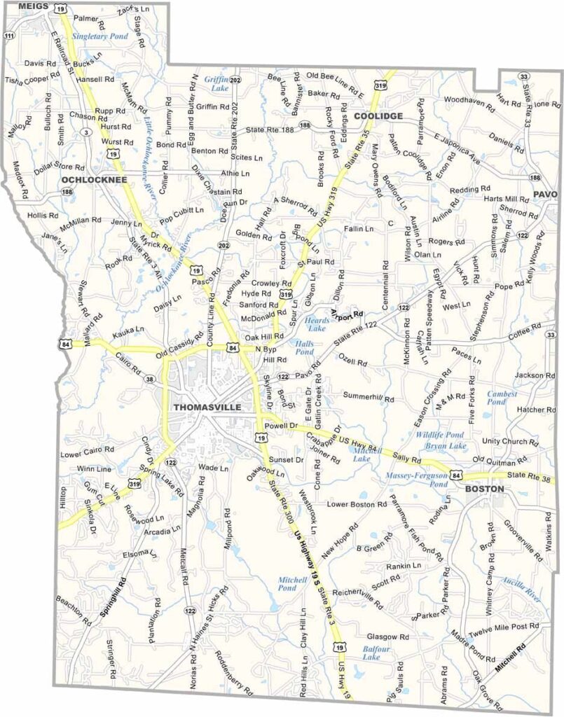
Thomas County location map showing towns, roads, and geographic features in Georgia.
Category Details
County Name Thomas County
County Seat Thomasville
Cities, Towns, and Communities Thomasville (county seat), Boston, Coolidge, Metcalf, and other small communities
Interstates and Highways U.S. Route 84, U.S. Route 319, Georgia State Route 38
Etymology Named after General Jett Thomas, a hero of the War of 1812
FIPS Code 13-275
Total Area (Land and Water) 1,072 square miles (land: 1,061 sq mi, water: 11 sq mi)
Time Zone Eastern Time Zone (ET)
State Georgia
Coordinates 30.8368° N, 83.9823° W
Major Landmarks Thomasville Historical District, Pebble Hill Plantation, and the Big Oak
Adjacent Counties (and Direction) Colquitt County (Northeast), Brooks County (East), Jefferson County, Florida (South), Leon County, Florida (Southwest), Grady County (West), Mitchell County (Northwest)
Population Approximately 45,000
Scroll to Top