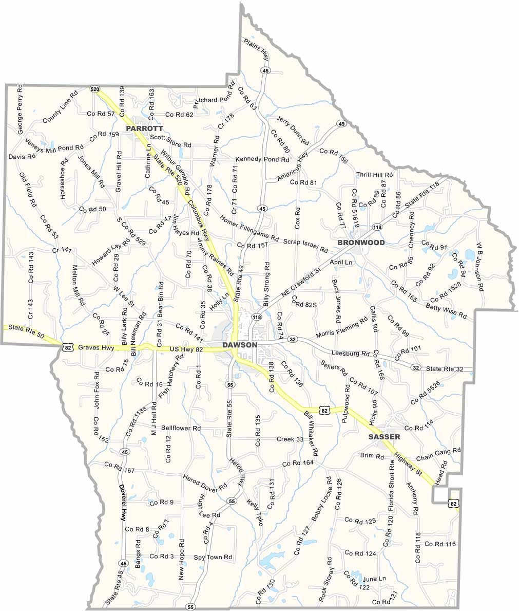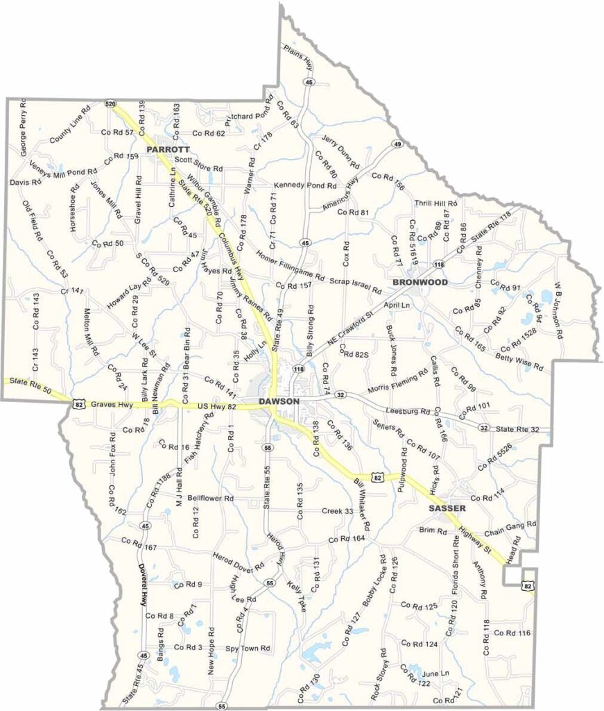
Terrell County, Georgia

Terrell County is located in southwest Georgia and was established in 1856. Dawson, the county seat, serves as the county’s commercial and cultural center. Rich in history, the county is home to several historic buildings and landmarks that reflect its long-standing heritage.

Agriculture has long been the foundation of Terrell County’s economy, with peanuts, cotton, and other crops playing a vital role in the region’s farming traditions. The county’s fertile farmland continues to support one of southwest Georgia’s most important industries.

Home to about 8,000 residents, Terrell County also played a significant role in the Civil Rights Movement during the 1960s. Today, the county honors its history while embracing steady growth and development, balancing its agricultural roots with efforts to strengthen local communities and the economy.
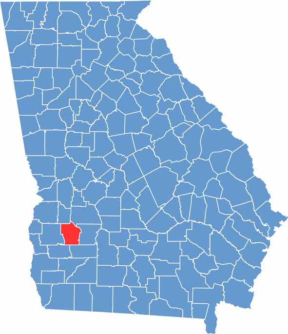

Terrell Location Map showing towns, roads, and geographic features in Georgia.
Category Details
County Name Terrell County
County Seat Dawson
Cities, Towns, and Communities Dawson (county seat), Bronwood, Sasser, and other small communities
Interstates and Highways U.S. Route 82, U.S. Route 41, Georgia State Route 32
Etymology Named after Dr. William Terrell, U.S. Congressman
FIPS Code 13-273
Total Area (Land and Water) 344 square miles (land: 342 sq mi, water: 2 sq mi)
Time Zone Eastern Time Zone (ET)
State Georgia
Coordinates 31.8524° N, 84.4384° W
Major Landmarks Terrell County Courthouse, Dawson Historical District, local agricultural sites
Adjacent Counties (and Direction) Webster County (North), Sumter County (Northeast), Lee County (East), Dougherty County (Southeast), Calhoun County (Southwest), Randolph County (West)
Population Approximately 7,800
Scroll to Top