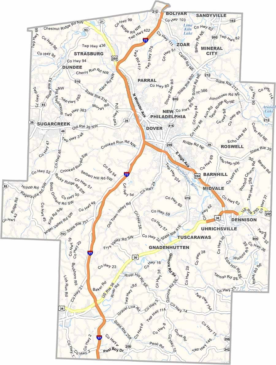
Tuscarawas County Map, Ohio

Tuscarawas County, Ohio

Tuscarawas County is in east-central Ohio, with New Philadelphia serving as the county seat. The county’s name comes from the Tuscarawas River, which winds through the area, shaping both its geography and history.

Anyone who loves the outdoors enjoys the Ohio and Erie Canalway. History comes alive at Schoenbrunn Village, a reconstructed missionary settlement from the 1770s.

Manufacturing and agriculture are both important to the local economy. In New Philadelphia, Tuscora Park is a favorite local spot, featuring an antique carousel that delights visitors of all ages. Throughout Tuscarawas County, you’ll find a deep sense of community spirit and pride in local heritage.
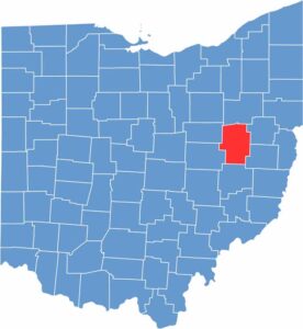

Tuscarawas County location map of Ohio
CategoryDetails
County NameTuscarawas County
County SeatNew Philadelphia
EtymologyNamed after the Tuscarawas River, meaning "open mouth river"
Cities, Towns, and CommunitiesNew Philadelphia, Dover, Uhrichsville, Strasburg
Interstates and HighwaysU.S. Highway 250, U.S. Highway 36, State Route 39
FIPS Code39-157
Total Area567 square miles (land and water)
Adjacent CountiesStark County (North), Carroll County (Northeast), Harrison County (Southeast), Guernsey County (South), Coshocton County (Southwest), Holmes County (Northwest)
Time ZoneEastern Time Zone
StateOhio
Coordinates40.4865° N, 81.4413° W
Major LandmarksDover Dam, Warther Museum
PopulationApproximately 91,000
Scroll to Top