
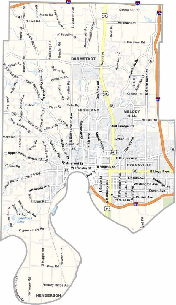
Vanderburgh County is where Indiana gets a little more urban, with a side of river-town charm. Evansville is the county seat and Indiana’s third-largest city.
This county has range. One minute you’re in downtown Evansville, and the next you’re in farm country. It’s like someone took a piece of the city and plunked it down in the middle of classic Hoosier farmland.
While you’re here, check out the University of Southern Indiana. Don’t forget about Mesker Park Zoo and the Evansville Museum of Arts, History & Science, either.
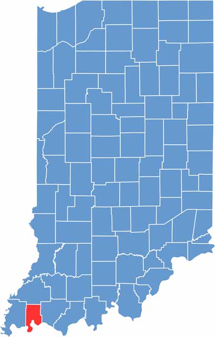
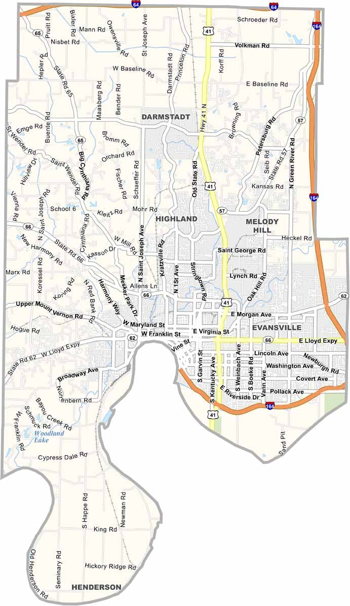
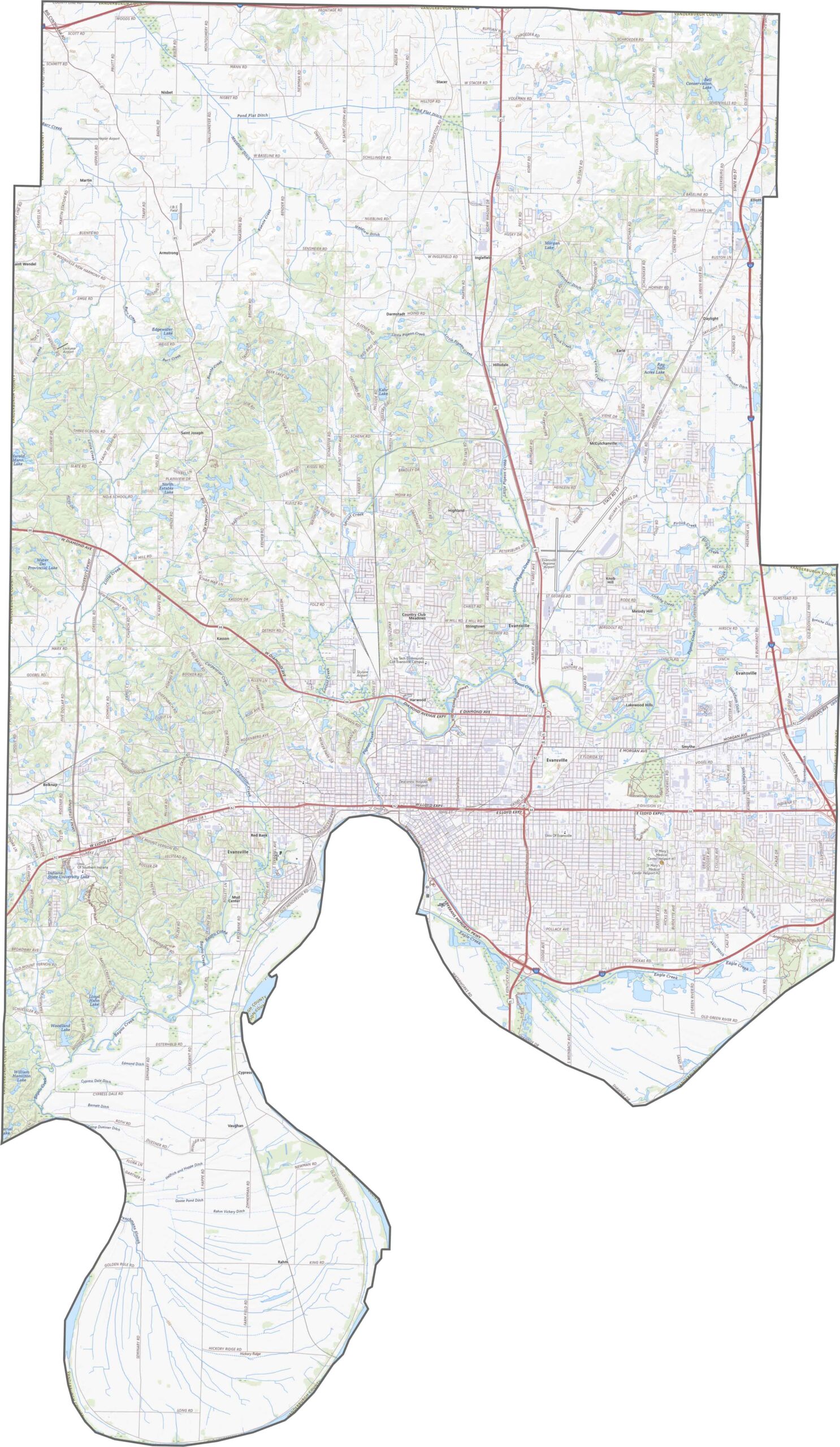
The land slopes gently toward the Ohio River, creating varied elevations in the southwest. While the northern sections are relatively flat, there are noticeable hills near Evansville and along the riverbanks. Use our zoom tool to explore major highways like I-64, I-164, and U.S. 41.
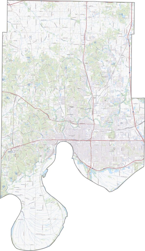
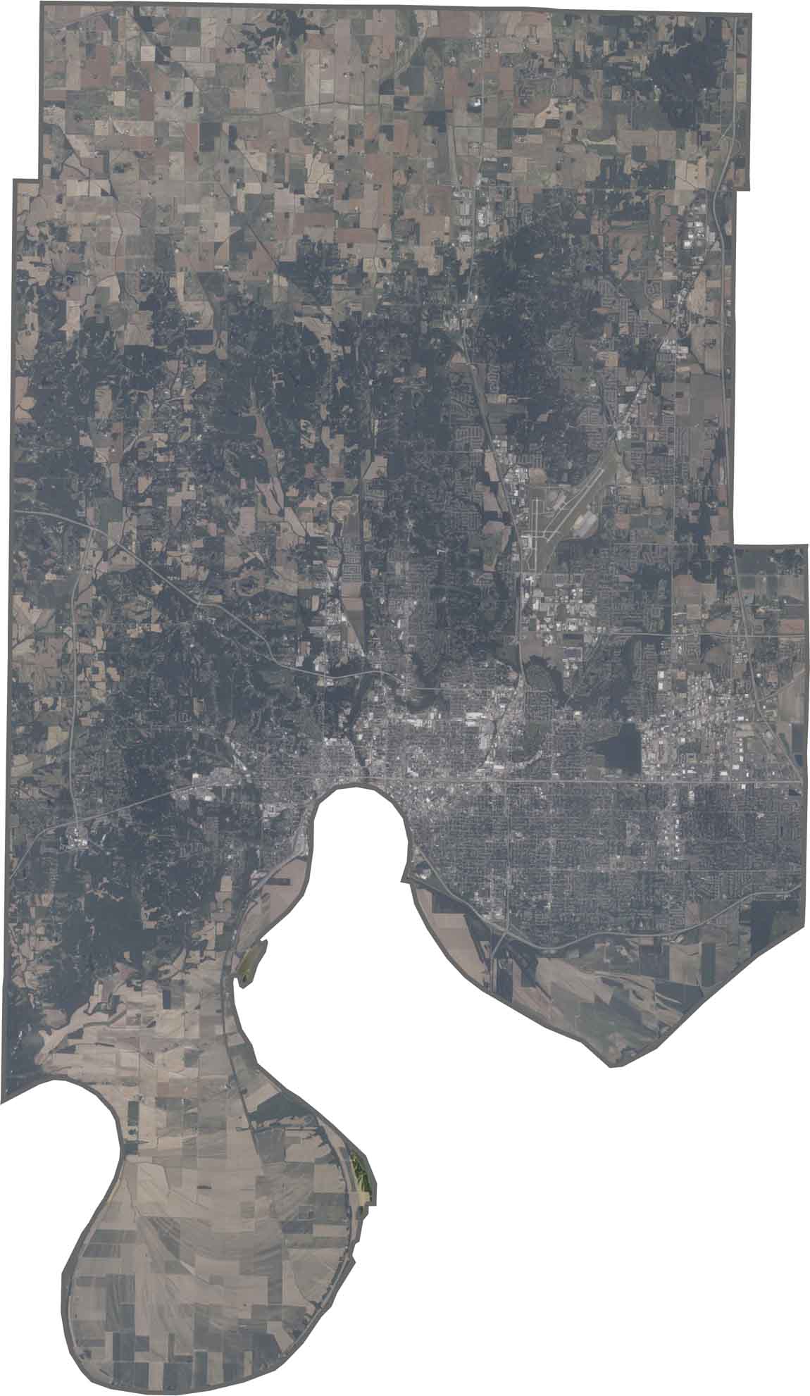
Evansville dominates the southern portion, with its urban area pressed against the Ohio River. The river forms a wide, dark boundary at the bottom of the image. Patches of forest mix with farmland across the northern areas.
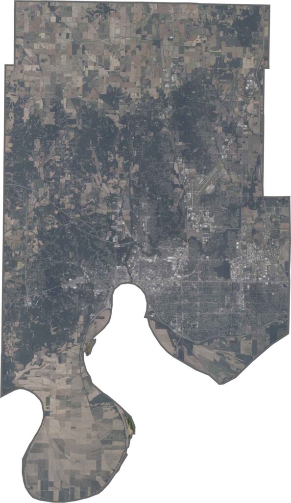
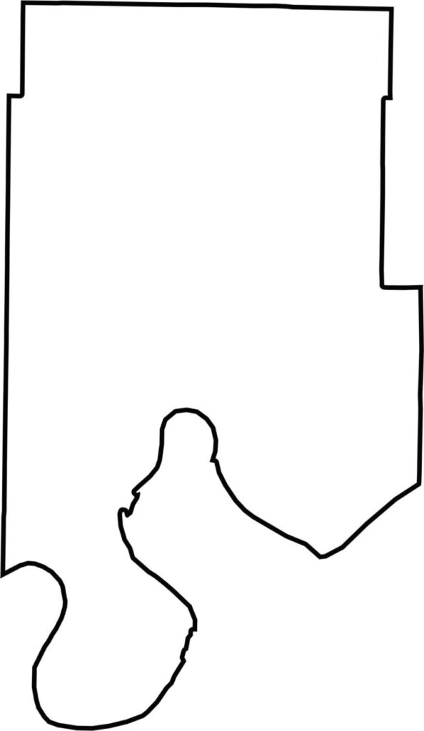
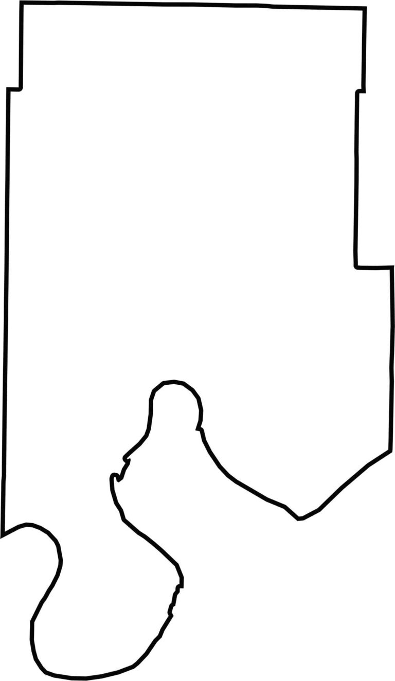
The county has an irregular shape, with the Ohio River defining its entire southern border. This creates a boundary with Kentucky, while the other edges touch other Indiana counties.






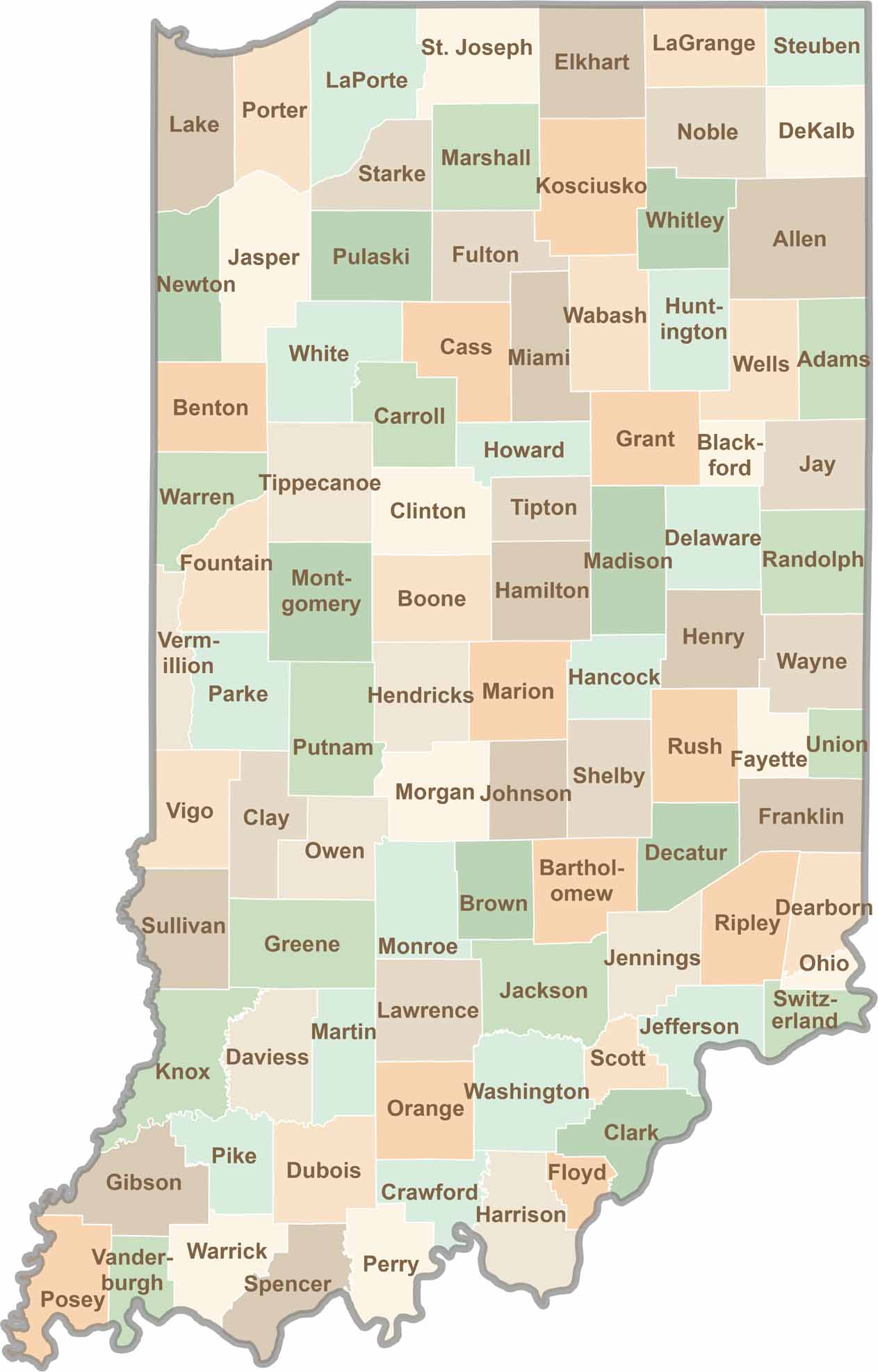
Explore the Hoosier State, home to 92 counties filled with scenic backroads, impressive skyline views, and charming small towns. Think of this as your glovebox passport to Indiana, guiding you to classic diner pies, covered bridges, and stunning Lake Michigan sunsets.