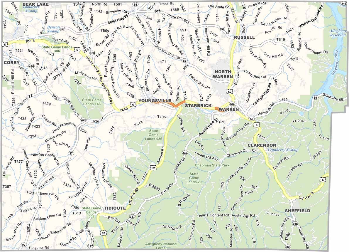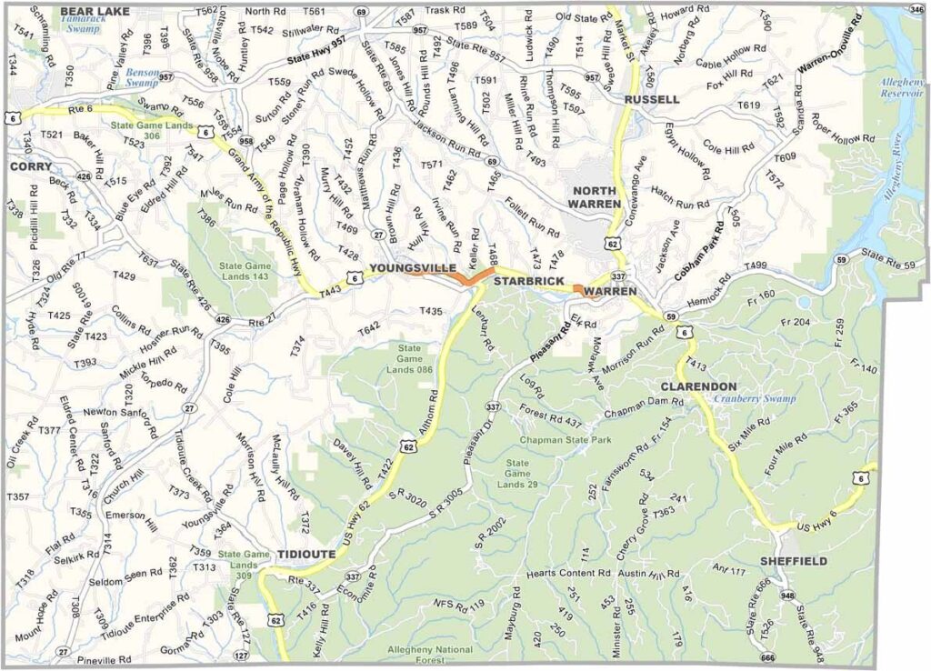
Warren County Map, Pennsylvania

Warren County, Pennsylvania

Warren County sits in the northwest corner of Pennsylvania, along the New York border. The Allegheny National Forest covers nearly half of the county, which adds up to a lot of trees.

Kinzua Dam created a massive reservoir that is perfect for boating. Locals fish year-round, even ice fishing in winter, and visitors come mainly for hiking, camping, and wildlife watching.

The county is named after a Revolutionary War hero. Warren, the largest town and county seat, is especially beautiful in fall when the leaves change. Quiet and scenic, Warren County is a nice escape from city life.
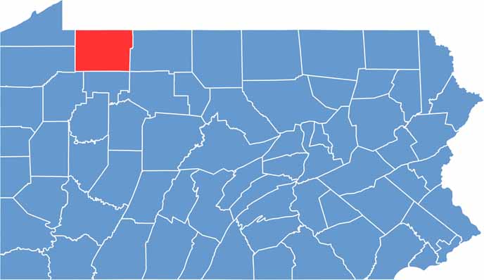

Location map of Warren County, Pennsylvania
CategoryDetails
County NameWarren County
County SeatWarren
EtymologyNamed after General Joseph Warren, a Revolutionary War hero
Cities, Towns, and CommunitiesWarren, Youngsville, Sheffield, Sugar Grove, Tidioute
Interstates and HighwaysU.S. Highway 6, U.S. Highway 62
FIPS Code42-123
Total Area (Land and Water)898 square miles (883 sq mi land, 15 sq mi water)
Adjacent Counties (and Direction)Chautauqua County, New York (North), Cattaraugus County, New York (Northeast), McKean County (East), Elk County (Southeast), Forest County (South), Venango County (Southwest), Crawford County (West), Erie County (West)
Time ZoneEastern Time Zone (EST)
StatePennsylvania
Coordinates41°50’N, 79°16’W
Major LandmarksAllegheny National Forest, Kinzua Dam, Chapman State Park
PopulationApproximately 38,000
Scroll to Top