
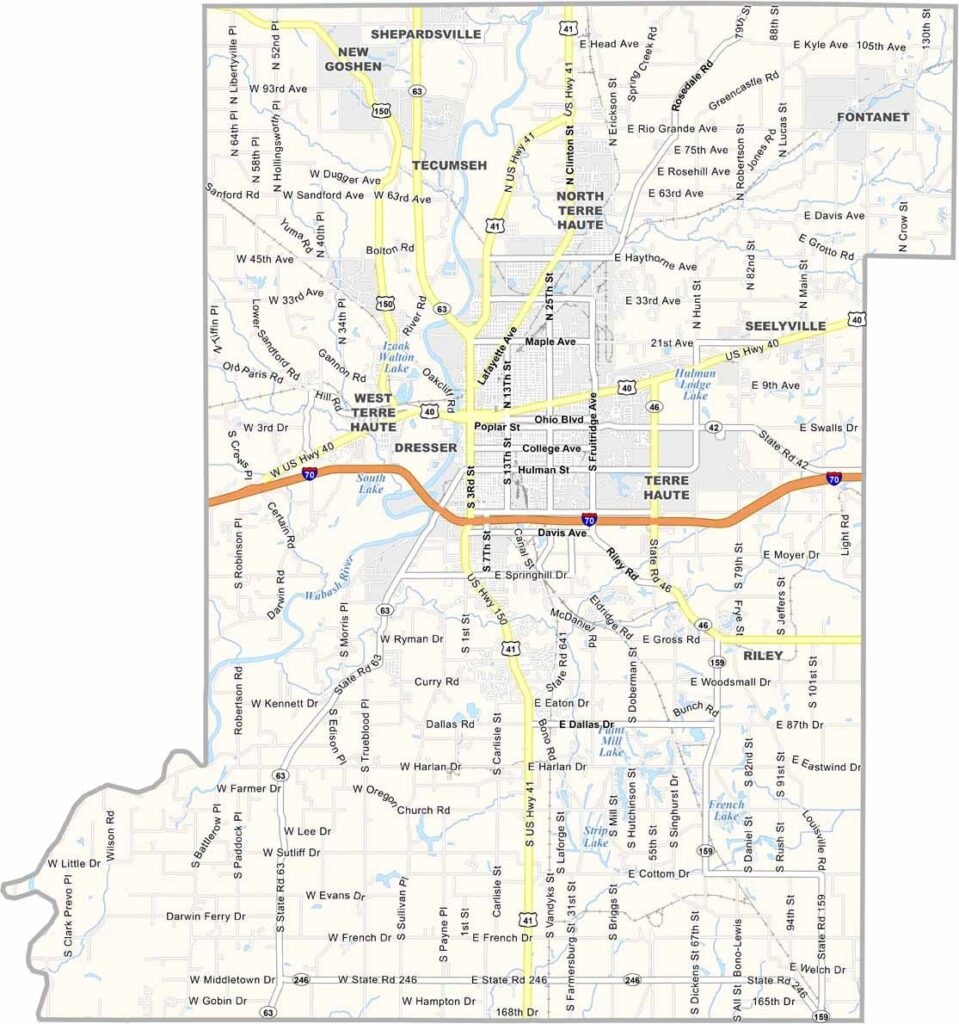
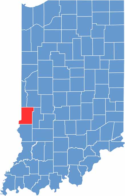
Vigo County lies in west-central Indiana along the Wabash River, near the Illinois border. Terre Haute, the county seat, serves as its vibrant center and is home to Indiana State University.
The county has deep roots in transportation, from historic canals to railroads. Locals also take pride in their racing heritage, with the Action Track attracting motorsports enthusiasts. Parks, trails, and green spaces stretch across the county, offering plenty of opportunities for outdoor recreation.
Farmers markets come alive on summer weekends, while historic covered bridges provide a glimpse into a bygone era. Despite facing challenges over the years, the people of Vigo County remain resilient and focused on the future.
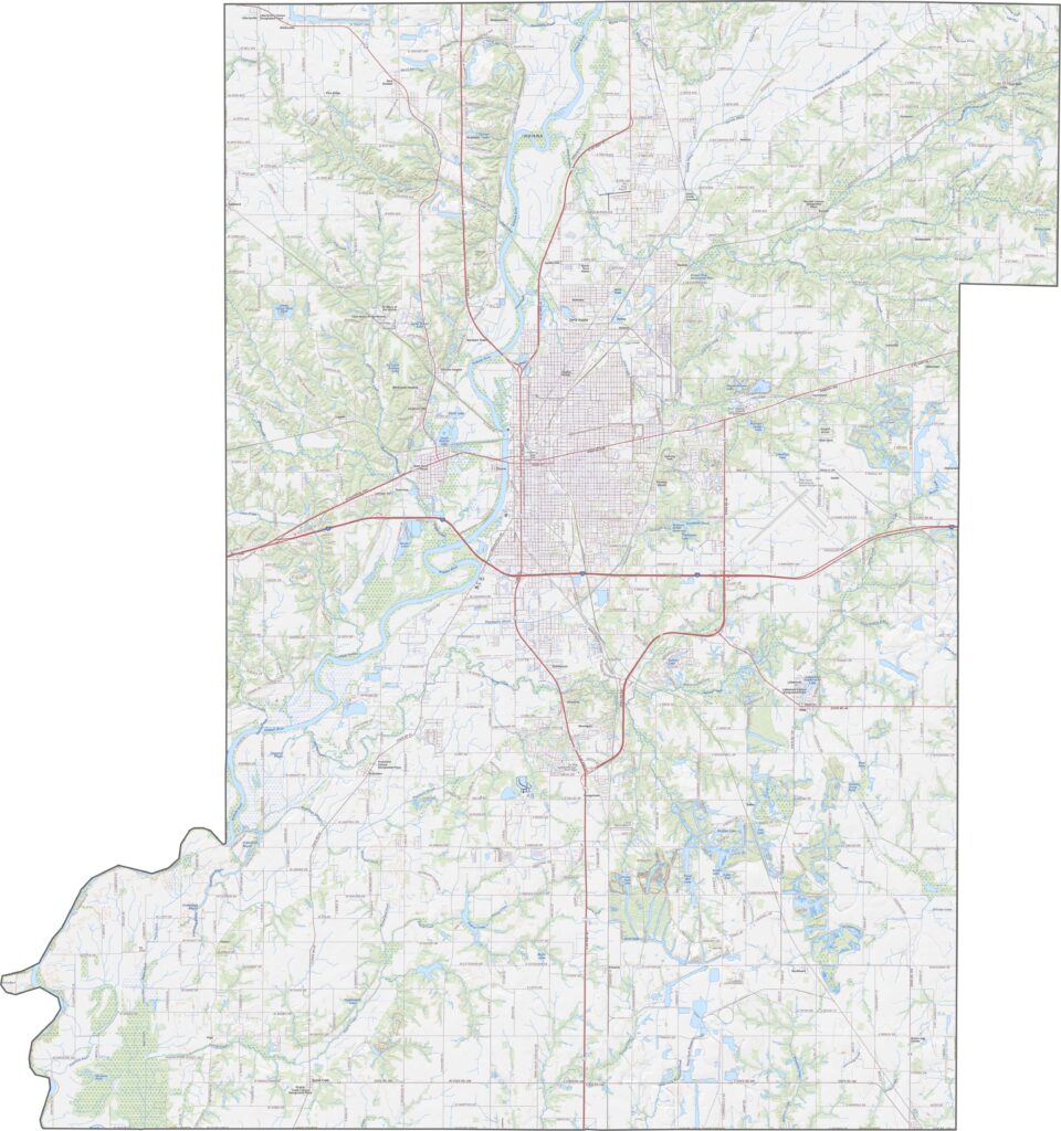
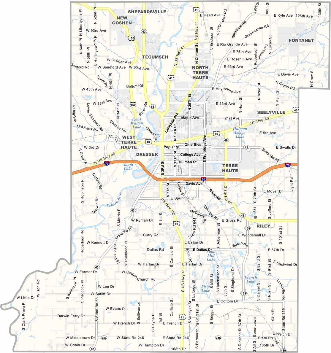
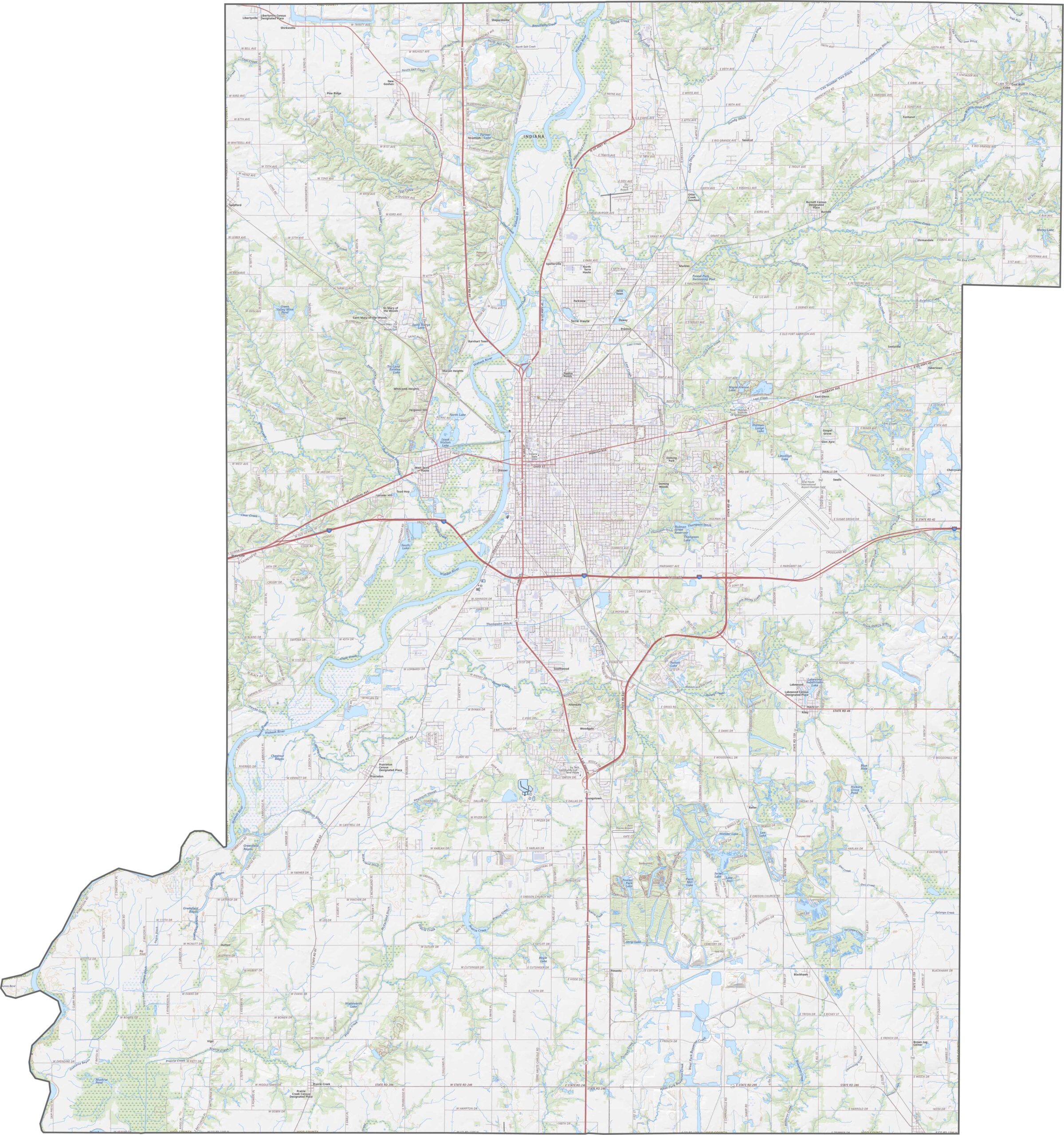
Floodplains and low river terraces shape the landscape along the riverside. I-70 and U.S. Highway 40 are the two main highways running through the area. Use our zoom tool to explore these geographic and transportation features in greater detail.
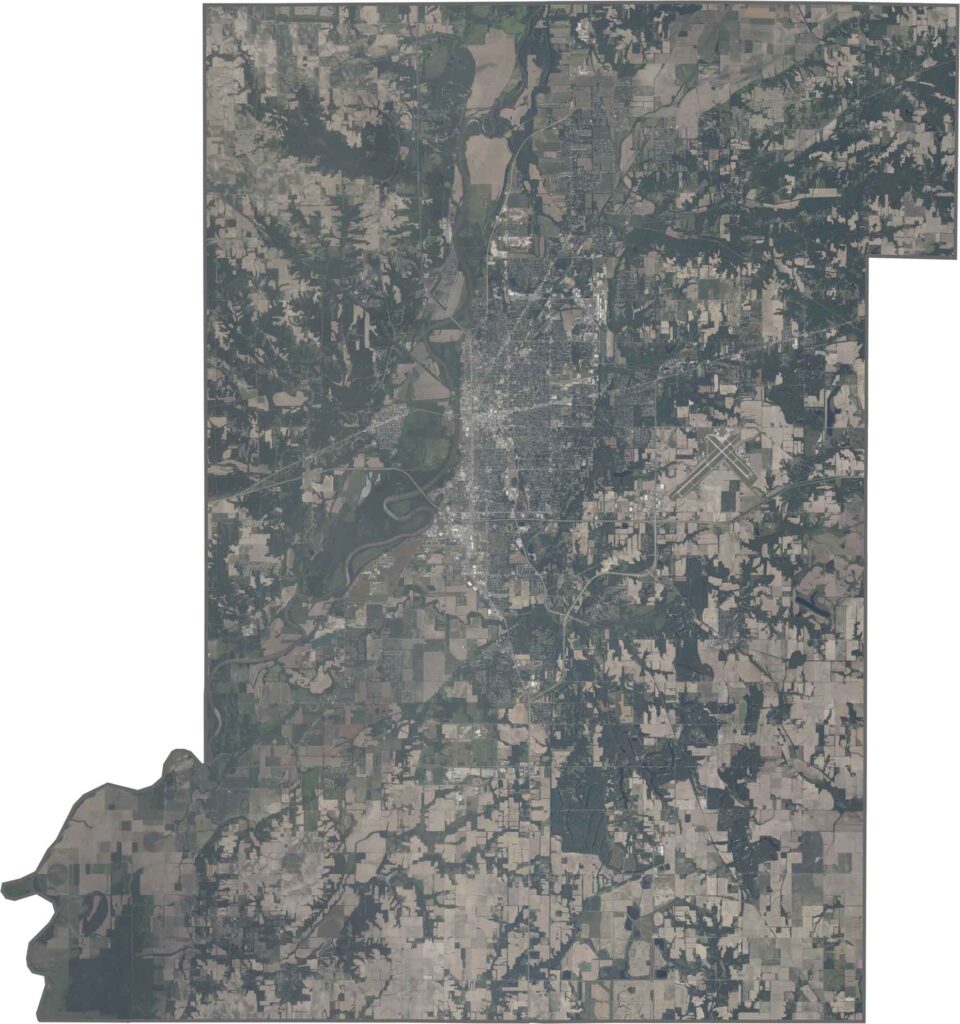
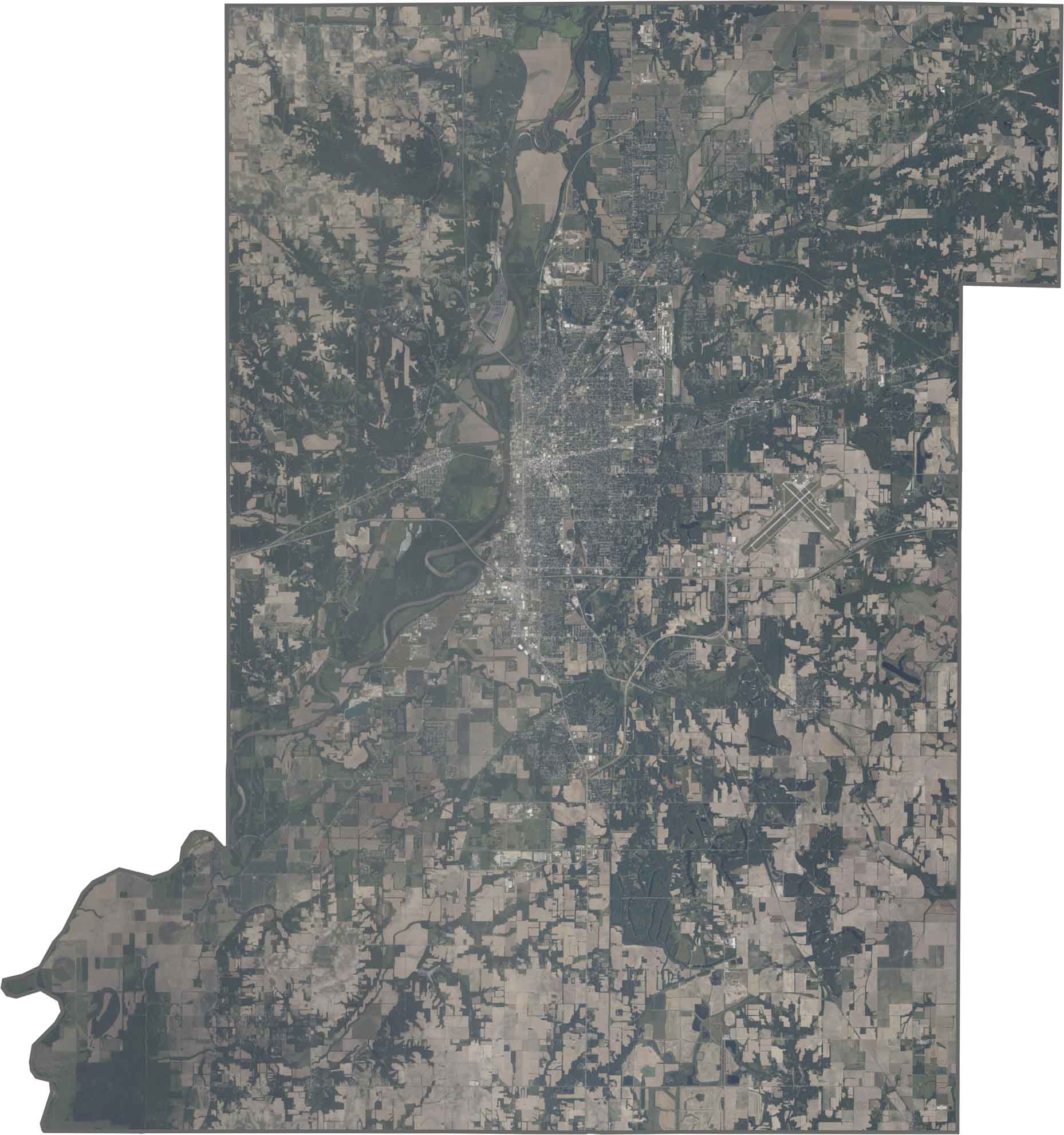
Terre Haute appears as a dense urban area stretching along both sides of the Wabash River. Distinct industrial zones can be seen near the riverbanks, while the surrounding countryside features a mix of farmland and wooded areas, creating a blend of urban and rural landscapes.
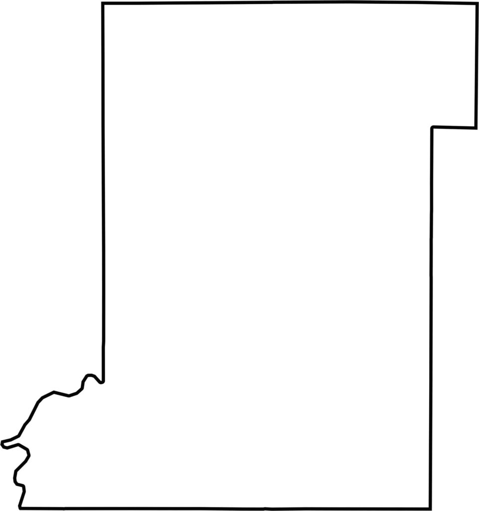
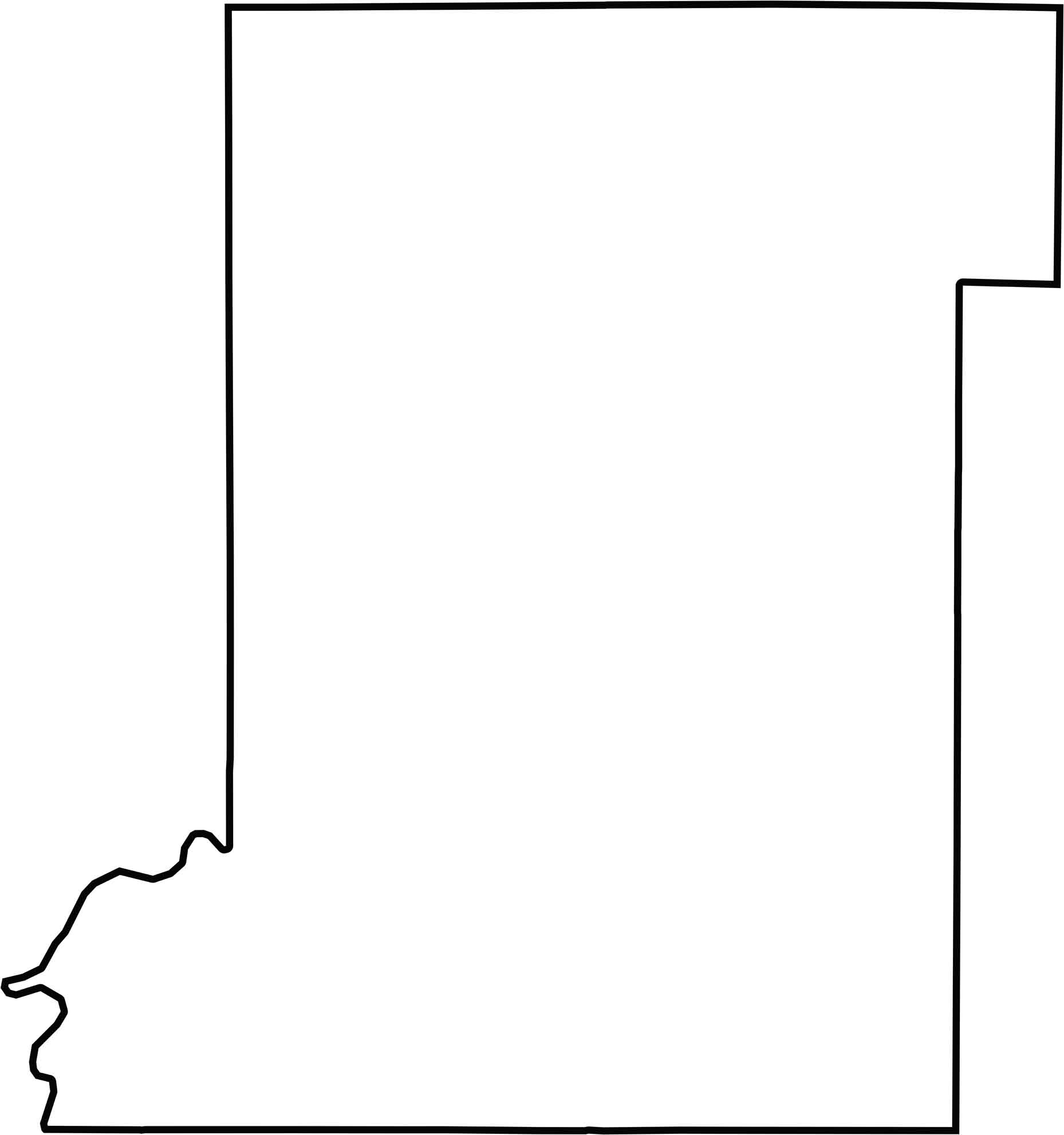
The county has a roughly rectangular shape, with the Wabash River forming much of its western boundary. This river boundary separates the county from Illinois, while its remaining edges border neighboring Indiana counties.






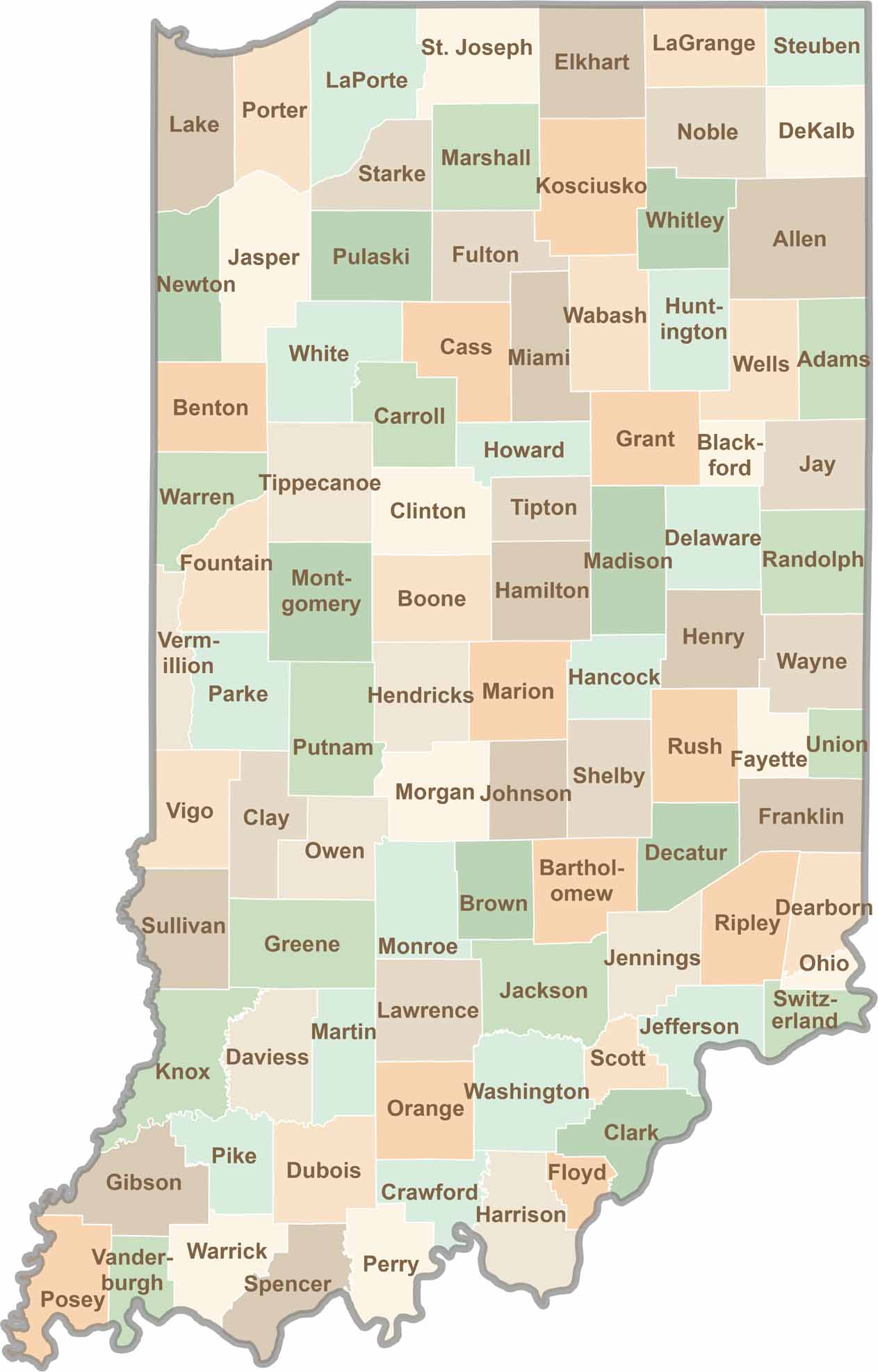
Explore the Hoosier State, home to 92 counties filled with scenic backroads, impressive skyline views, and charming small towns. Think of this as your glovebox passport to Indiana, guiding you to classic diner pies, covered bridges, and stunning Lake Michigan sunsets.