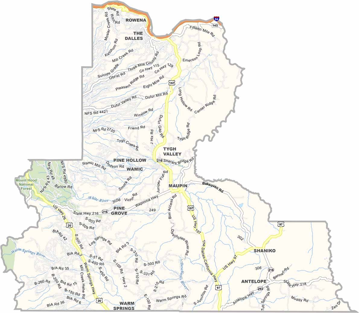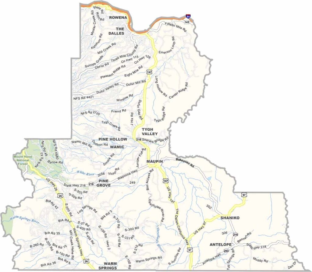
Wasco County Map, Oregon

Wasco County, Oregon

Wasco County straddles the Columbia River in north-central Oregon. The Dalles, its biggest city, was once the end of the Oregon Trail, and today the local economy revolves around cherries, wheat, and wind farms.

Drive east and you'll reach high desert, while heading west leads to lush forests. The snowy peak of Mount Hood looms on the horizon, and the Deschutes River is a fly-fishing paradise.

Native American history runs deep here, with petroglyphs found on cliffs throughout the area. The sun shines about 300 days a year, which is why the fruit grows so well.
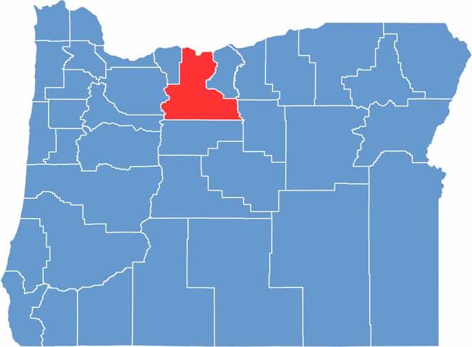

Location map of Wasco County, Oregon
CategoryDetails
County NameWasco County
County SeatThe Dalles
EtymologyNamed after the Wasco Native American tribe
Cities, Towns, and CommunitiesThe Dalles, Maupin, Dufur, Mosier
Interstates and HighwaysInterstate 84, U.S. Highway 197, U.S. Highway 30
FIPS Code41-065
Total Area (Land and Water)2,395 square miles (2,382 sq mi land, 13 sq mi water)
Adjacent Counties (and Direction)Klickitat County, Washington (North), Sherman County (East), Gilliam County (East), Wheeler County (Southeast), Jefferson County (South), Marion County (Southwest), Clackamas County (West), Hood River County (West)
Time ZonePacific Time Zone (PST)
StateOregon
Coordinates45°15’N, 121°10’W
Major LandmarksColumbia River Gorge, Mount Hood, Deschutes River State Recreation Area
PopulationApproximately 28,000
Scroll to Top