
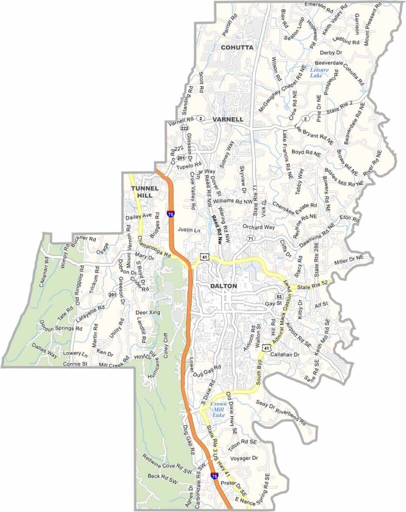
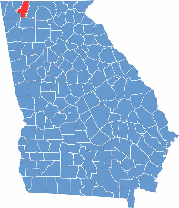
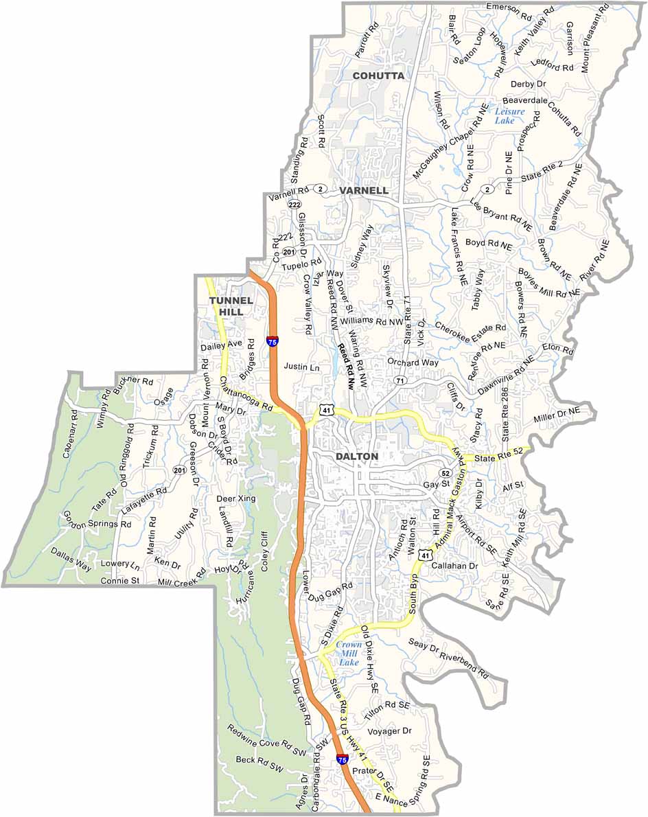
Whitfield County sits in northwest Georgia, right along the Tennessee state line. Dalton, the county seat, is widely known as the “Carpet Capital of the World.” The carpet industry plays a major role in the local economy and has helped shape the identity of the county.
The area also offers plenty of natural and historic attractions. The Conasauga River forms part of the eastern boundary, while nearby Fort Mountain State Park provides opportunities for hiking and outdoor recreation. The Tunnel Hill Heritage Center helps preserve and share the region’s important Civil War history.
Whitfield County has a growing Hispanic community that contributes to the area's cultural diversity and local character. With its strong industrial base, rich history, and natural surroundings, Whitfield County brings together a unique mix of tradition and growth in this corner of Georgia.
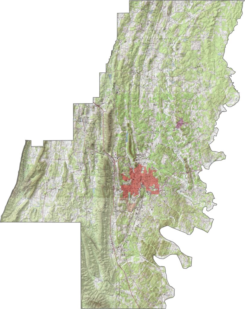
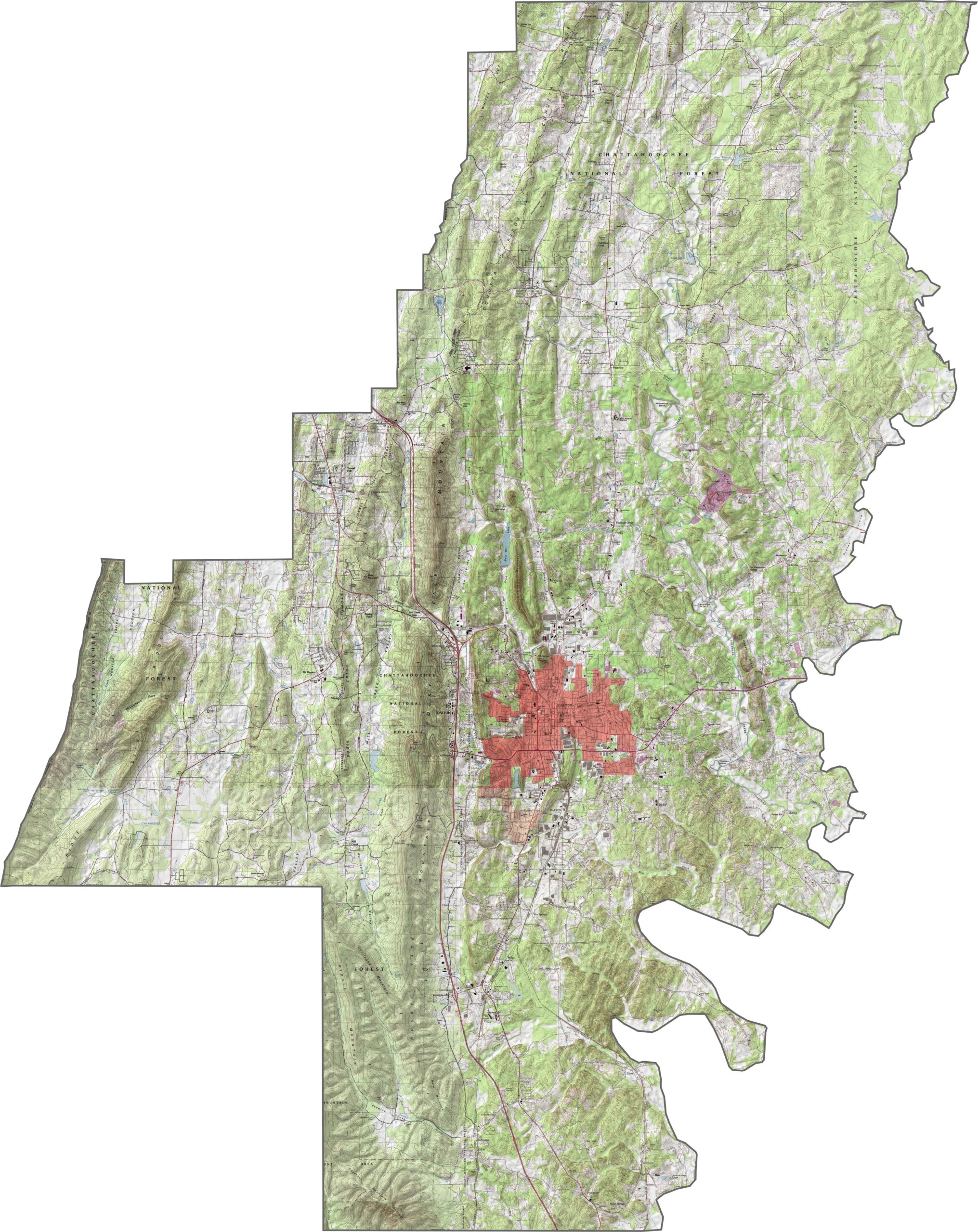
Our topographic map of Whitfield County highlights the distinctive ridge and valley terrain typical of northwest Georgia. Dalton, the county seat, sits near the center of the county, while the Chattahoochee National Forest covers much of the southwestern region.
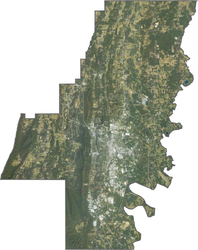
Whitfield County lies within Georgia’s Ridge and Valley region, characterized by long, rolling ridges and broad valleys. To the north, Tunnel Hill is known for its Civil War history, while Rocky Face in the west features scenic ridges and outdoor trails. The eastern portion includes more forests, farmland, and small rural communities spread across the landscape.
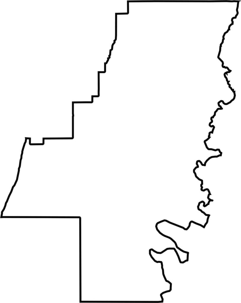
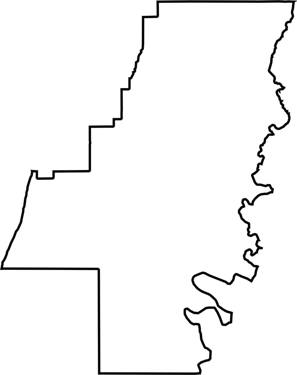
The Whitfield County outline map shows an irregular shape influenced by the surrounding natural terrain. Its western boundary follows the crest of Taylor’s Ridge, while the Conasauga River helps define portions of the eastern side near the Tennessee border.







Now available! Our Georgia county map highlights all 159 counties with exceptional detail and clarity. Whether you're exploring geography, planning a trip, or learning more about the Peach State, this comprehensive map is the resource you've been looking for. Discover Georgia like never before and explore every corner of the state.