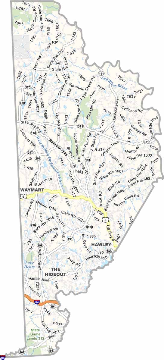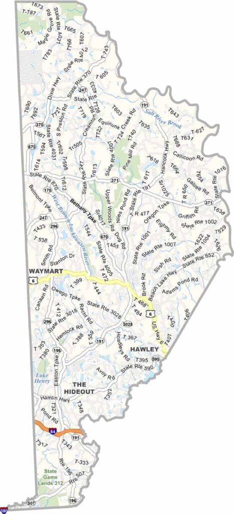
Wayne County Map, Pennsylvania

Wayne County, Pennsylvania

Wayne County sits in the northeast corner of Pennsylvania, bordering both New York and New Jersey. It is mostly rural, with plenty of forests and farms, and the Delaware River forms its eastern edge.

Honesdale, the county seat, claims to be the birthplace of the American railroad. Pocono Mountains tourism spills over into the southern part of the county.

Summers bring an influx of visitors to spots like Lake Wallenpaupack, and the leaves are gorgeous in autumn. Winters can be harsh, but there is plenty of skiing nearby. It is the kind of place where you might spot a bald eagle soaring overhead.
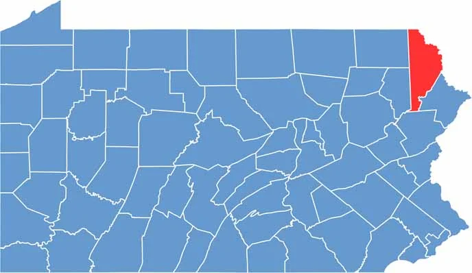

Location map of Wayne County, Pennsylvania
CategoryDetails
County NameWayne County
County SeatHonesdale
EtymologyNamed after Anthony Wayne, a general in the American Revolutionary War
Cities, Towns, and CommunitiesHonesdale, Hawley, Waymart, Lake Ariel, Newfoundland
Interstates and HighwaysU.S. Highway 6, State Highway 191, State Highway 296
FIPS Code42-127
Total Area (Land and Water)751 square miles (726 sq mi land, 25 sq mi water)
Adjacent Counties (and Direction)Broome County, New York (North), Sullivan County, New York (East), Delaware County, New York (Northeast), Pike County (Southeast), Monroe County (South), Lackawanna County (Southwest), Susquehanna County (West)
Time ZoneEastern Time Zone (EST)
StatePennsylvania
Coordinates41°34’N, 75°15’W
Major LandmarksUpper Delaware Scenic and Recreational River, Prompton State Park, Dorflinger Glass Museum
PopulationApproximately 50,000
Scroll to Top