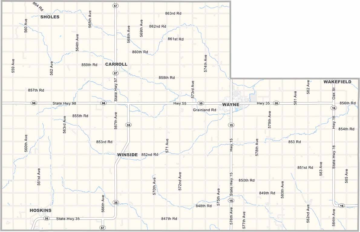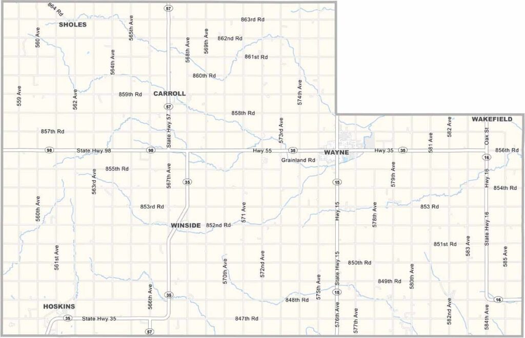
Wayne County Map, Nebraska

Wayne County, Nebraska

Wayne County sits in northeast Nebraska. Wayne, the county seat, is also the largest town, and Wayne State College brings young folks in from all over.

The rest of the county is mostly farmland. The Logan Creek Dredge runs through here, and while it's not much to look at, it's important for drainage.

The population is holding steady, and folks here are proud of their schools. The Blue Devils are a big deal. Wayne County is a place where community spirit and local pride run strong.
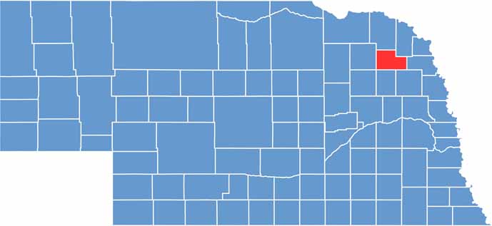

Wayne County location map of Nebraska
CategoryDetails
County NameWayne County
County SeatWayne
EtymologyNamed after Anthony Wayne, a U.S. Army officer and statesman
Cities, Towns, and CommunitiesWayne, Carroll, Winside
Interstates and HighwaysNebraska Highway 15, Nebraska Highway 35
FIPS Code31-179
Total Area (Land and Water)443 square miles (443 sq mi land, 0 sq mi water)
Adjacent Counties (and Direction)Dixon County (Northeast), Thurston County (East), Cuming County (Southeast), Stanton County (South), Madison County (Southwest), Pierce County (West), Cedar County (North)
Time ZoneCentral Time Zone (CT)
StateNebraska
Coordinates42.2484° N, 97.1083° W
Major LandmarksWayne State College, Wayne County Museum
PopulationApproximately 9,700
Scroll to Top