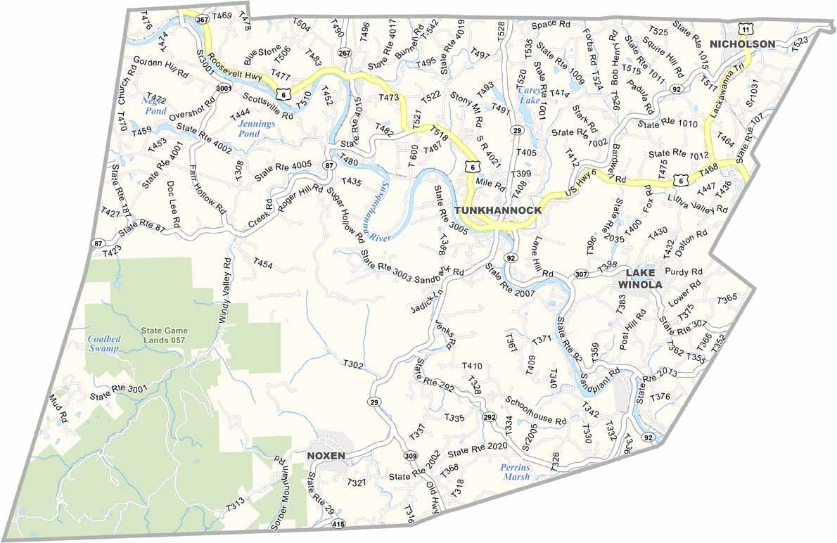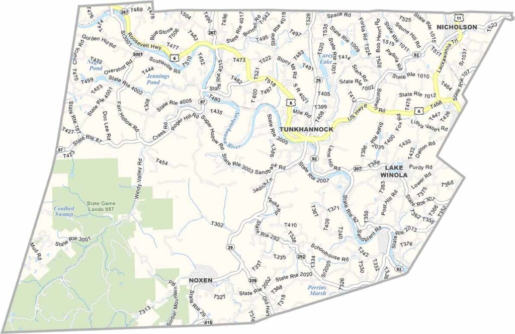
Wyoming County Map, Pennsylvania

Wyoming County, Pennsylvania

Wyoming County lies in northeastern Pennsylvania, not far from Scranton, within the Endless Mountains region. Tunkhannock, the county seat, has an inviting downtown area.

The Susquehanna River winds through the county, which is filled with farmland, especially dairy farms. It is quiet most of the time, but visitors love it for the great fishing in the river.

Autumn is an especially good time to visit, when the leaves are spectacular. The surrounding forests and rivers also offer plenty of great spots for hiking.
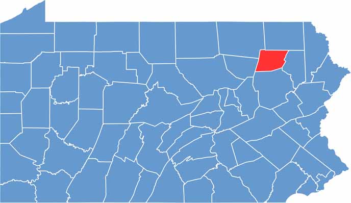

Location map of Wyoming County, Pennsylvania
CategoryDetails
County NameWyoming County
County SeatTunkhannock
EtymologyNamed after an Indian word meaning “extensive meadows.”
Cities, Towns, and CommunitiesTunkhannock, Meshoppen, Nicholson, Factoryville, Laceyville
Interstates and HighwaysU.S. Highway 6, State Highway 29, State Highway 92
FIPS Code42-131
Total Area (Land and Water)405 square miles (397 sq mi land, 8 sq mi water)
Adjacent Counties (and Direction)Susquehanna County (North), Lackawanna County (East), Luzerne County (South), Sullivan County (West), Bradford County (Northwest)
Time ZoneEastern Time Zone (EST)
StatePennsylvania
Coordinates41°32’N, 76°01’W
Major LandmarksNicholson Bridge (Tunkhannock Viaduct), Lazybrook Park, Endless Mountains, Vosburg Neck State Park
PopulationApproximately 27,000
Scroll to Top