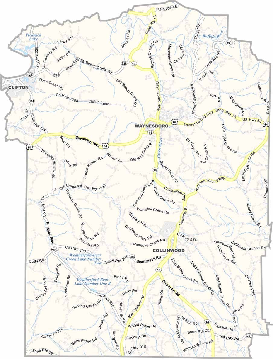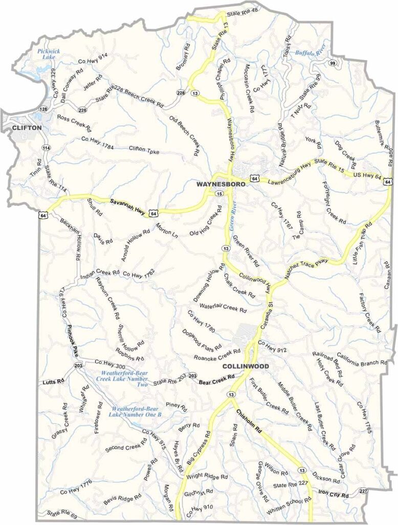
Wayne County Map, Tennessee

Wayne County, Tennessee

Wayne County is located in south-central Tennessee, right along the Alabama border. It’s a big one, too. In fact, it’s the second-largest county in the state of Tennessee.

Ever heard of the Tennessee Walking Horse? Well, Wayne County is where they shine. The entire county is known for its strong equestrian tradition. Waynesboro is the county seat.

The Tennessee River forms part of the county’s northwest border, which is pretty neat. Outdoor lovers can enjoy the state parks around here for fishing, hiking, and picnics. It’s definitely rural, but that’s part of its charm.
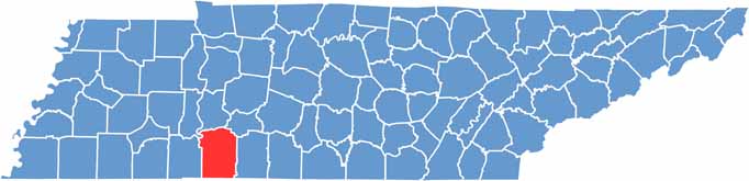
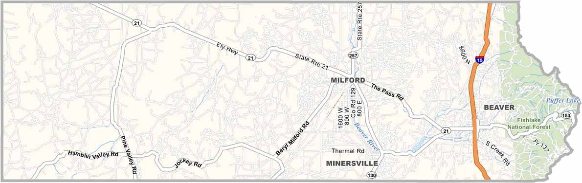
Wayne County location map of Tennessee
CategoryDetails
County NameWayne County
County SeatWaynesboro
PopulationApproximately 17,000
Cities, Towns, and CommunitiesWaynesboro, Clifton, Collinwood
Interstates and HighwaysState Highway 13, State Highway 64, Natchez Trace Parkway
FIPS Code47-181
Total Area (Land and Water)736 square miles (734 sq mi land, 2 sq mi water)
Adjacent Counties (and Direction)Perry County (North), Lewis County (Northeast), Lawrence County (East), Lauderdale County, Alabama (South), Hardin County (West), Decatur County (Northwest)
Time ZoneCentral Time Zone (CST)
StateTennessee
Coordinates35°20’N, 87°46’W
EtymologyNamed after General Anthony Wayne, a United States Army officer and statesman
Major LandmarksNatchez Trace Parkway, Buffalo River Resort, Tennessee River
Scroll to Top