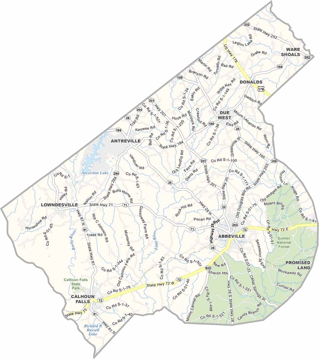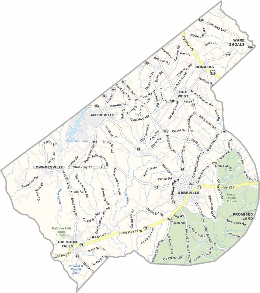
Abbeville County Map, South Carolina

Abbeville County, South Carolina

Abbeville County sits in the western part of South Carolina, right along the Georgia border. It’s a place with deep roots and a slower pace of life. The county seat, also called Abbeville, has a charming town square that looks like it’s straight out of a movie set.

Historians love it here. There are old buildings everywhere you look. The area played a big role in the Civil War, and you can still feel echoes of that time today.

But it’s not all about the past. Locals enjoy fishing and boating on Lake Russell. The fall foliage is spectacular. Abbeville County isn’t fancy, but it’s genuine.
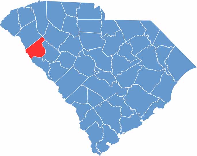

Abbeville County location map of South Carolina
CategoryDetails
County NameAbbeville County
County SeatAbbeville
PopulationApproximately 24,000
Cities, Towns, and CommunitiesAbbeville, Calhoun Falls, Due West, Donalds, Antreville
Interstates and HighwaysU.S. Highway 76, U.S. Highway 178, State Highway 28
FIPS Code45-001
Total Area (Land and Water)511 square miles (490 sq mi land, 21 sq mi water)
Adjacent Counties (and Direction)Greenville County (North), Anderson County (North), Laurens County (Northeast), Greenwood County (East), McCormick County (Southeast), Elbert County, Georgia (West)
Time ZoneEastern Time Zone (EST)
StateSouth Carolina
Coordinates34°10’N, 82°22’W
EtymologyNamed after Abbeville, France
Major LandmarksAbbeville Opera House, Richard B. Russell Dam, Calhoun Falls State Park
Scroll to Top