
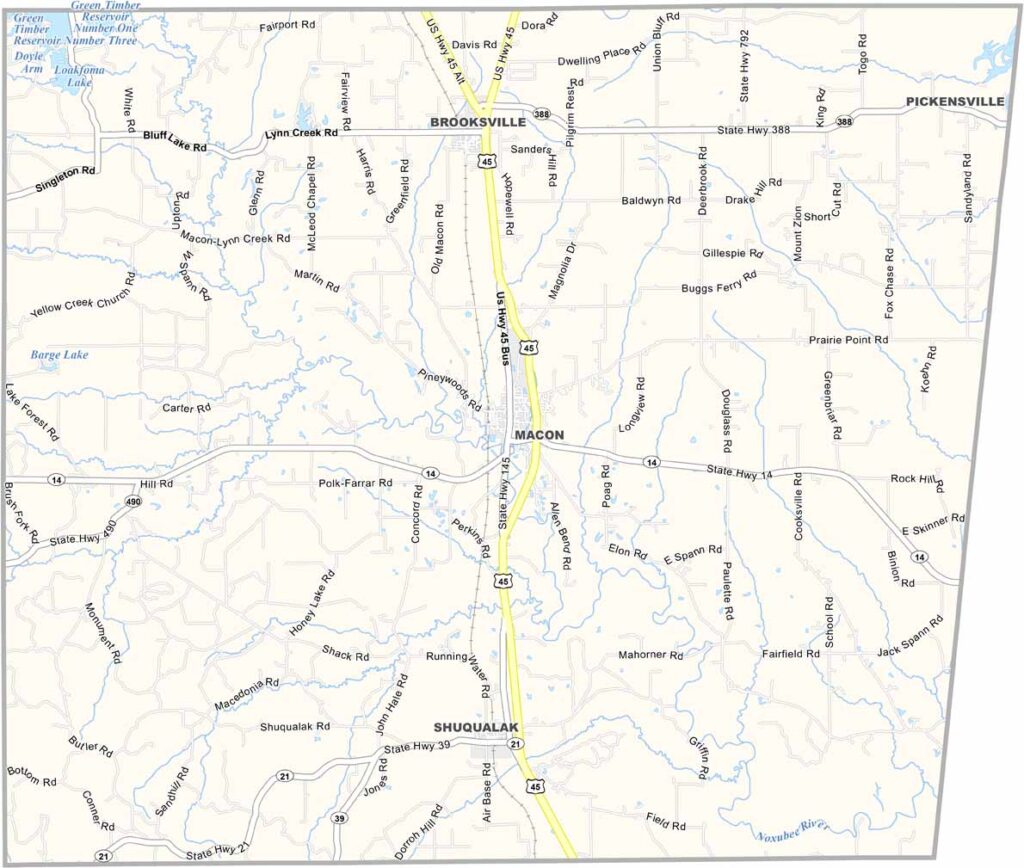
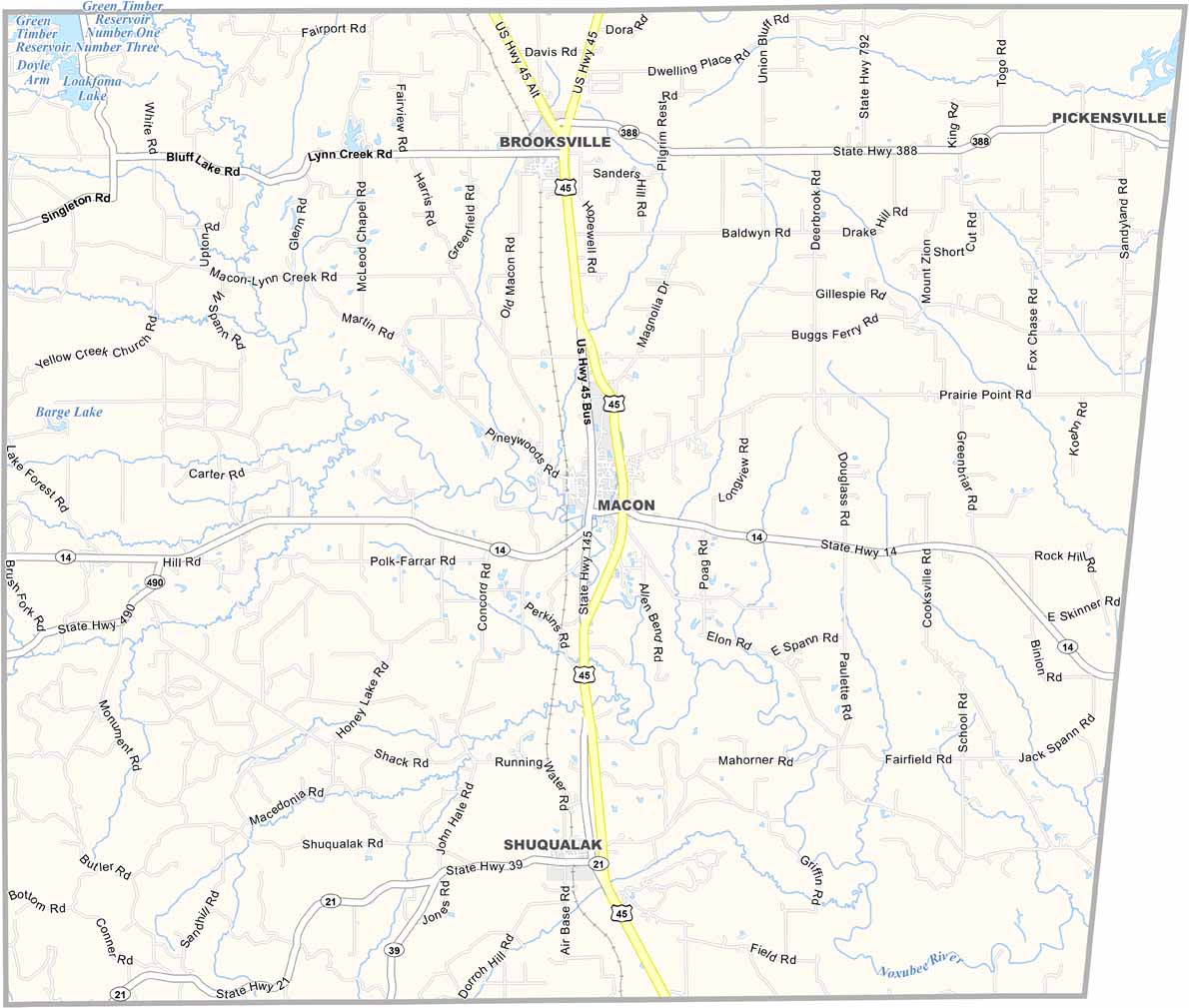
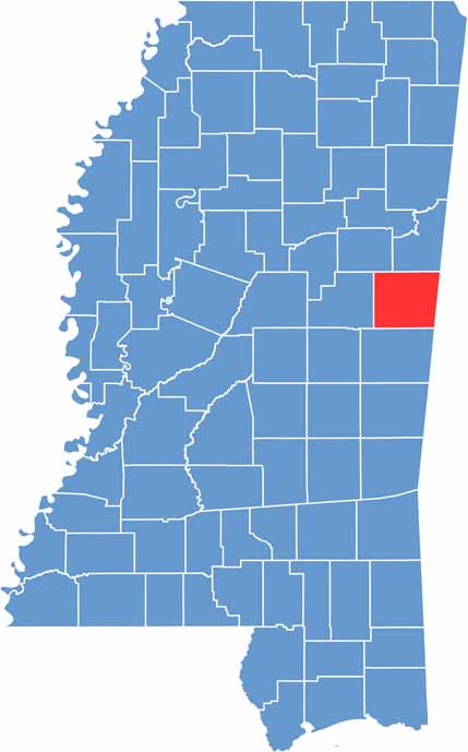
Down in east Mississippi, right on the Alabama line, sits Noxubee County. It's mostly rural, with more cows than people some days.
Macon, the county seat, is a small town with a big courthouse. The name Noxubee comes from a Choctaw word meaning "stinking water." Don't worry, it smells just fine these days.
If you're into nature, you're in luck. The Noxubee National Wildlife Refuge is a big draw, with its cypress swamps and alligators. Birdwatchers especially love it here.

Mississippi Counties
Rankin County Map Download Mississippi – Outline Map and Blank Map

Mississippi Counties
Madison County Map Download Mississippi – Outline Map and Blank Map

Mississippi Counties
Jackson County Map Download Mississippi – Outline Map and Blank Map

Mississippi Counties
Hinds County Map Download Mississippi – Outline Map and Blank Map

Mississippi Counties
Harrison County Map Download Mississippi – Outline Map and Blank Map

Mississippi Counties