
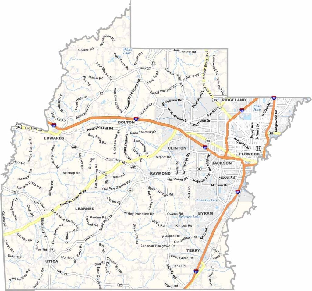

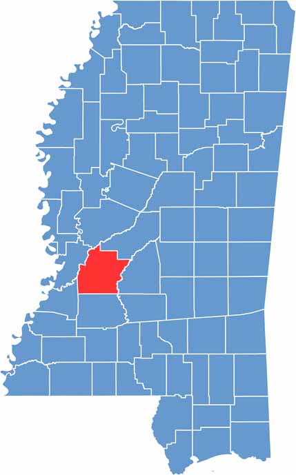
Hinds County sits at the heart of Mississippi and is home to the state capital, Jackson. The area has played an important role in history, from Civil War battles to the struggles of the civil rights era. But Hinds County is also focused on the present and future.
The county continues to grow, with new businesses joining longtime local favorites. Southern food is a big part of life here, and fried catfish and hushpuppies are popular staples.
Sports are also a major part of the community, with Jackson State University bringing crowds for football and basketball. Overall, Hinds County reflects the character of Mississippi through its friendly people, rich culture, and strong sense of community.
Hinds County serves as a major transportation hub, with several important highways converging around Jackson. Interstate 55 runs north to south through the county, connecting Memphis and New Orleans. Interstate 20 provides east-west access and intersects with I-55 in downtown Jackson.
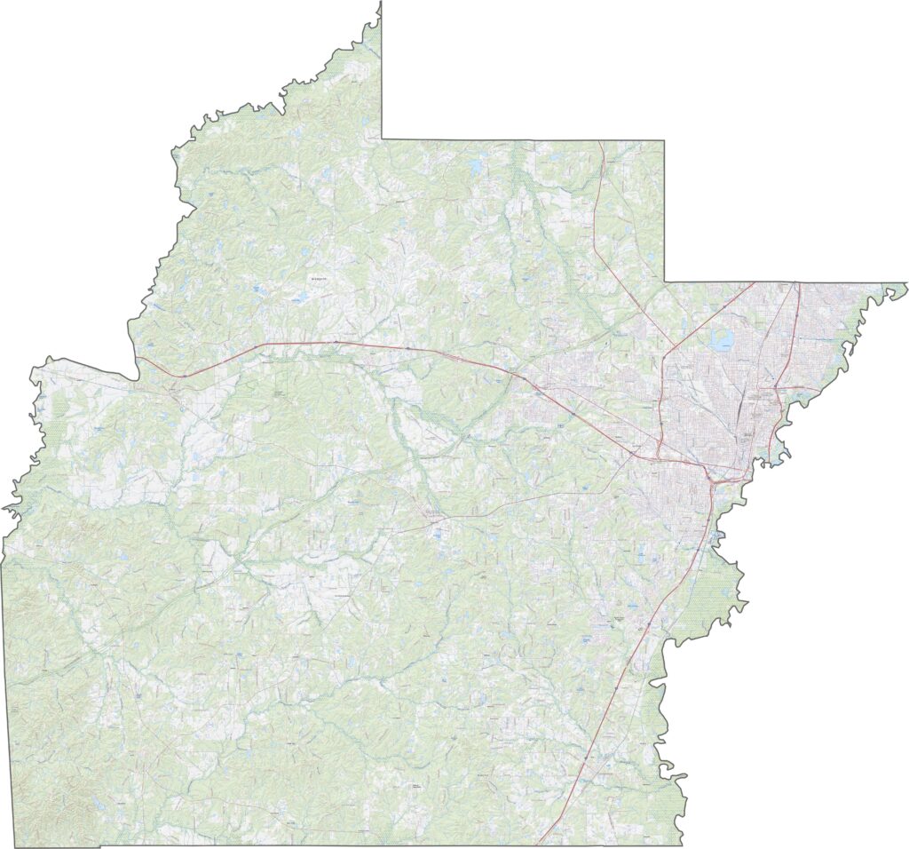
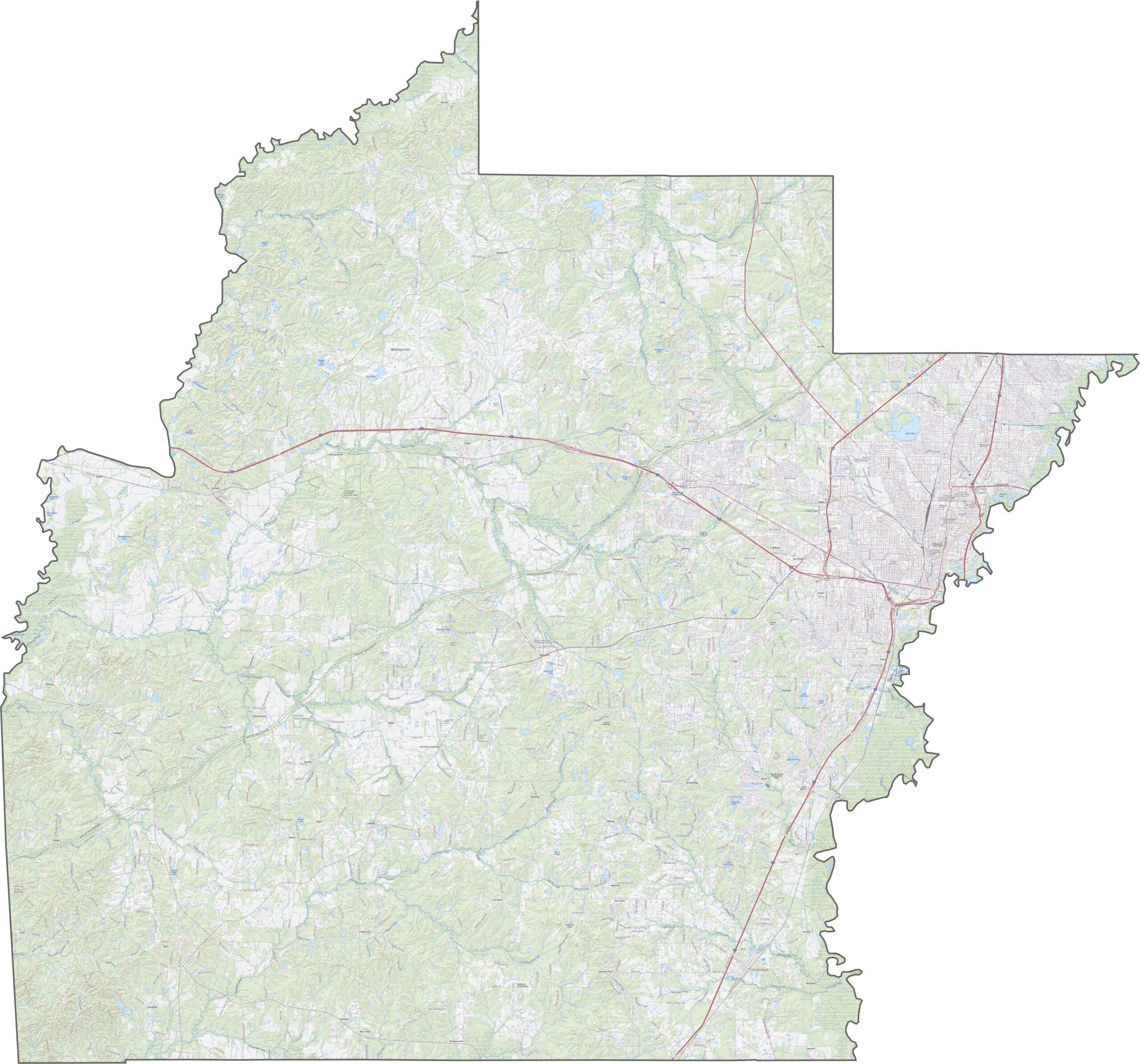
Jackson’s metropolitan area appears as a dense gray patch surrounded by greener suburban areas. The Pearl River runs through Jackson and forms part of the county’s eastern boundary. Agricultural fields and wooded forests cover much of the more rural landscape.
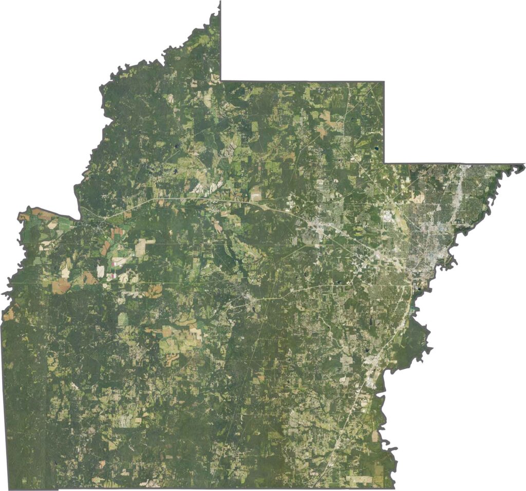
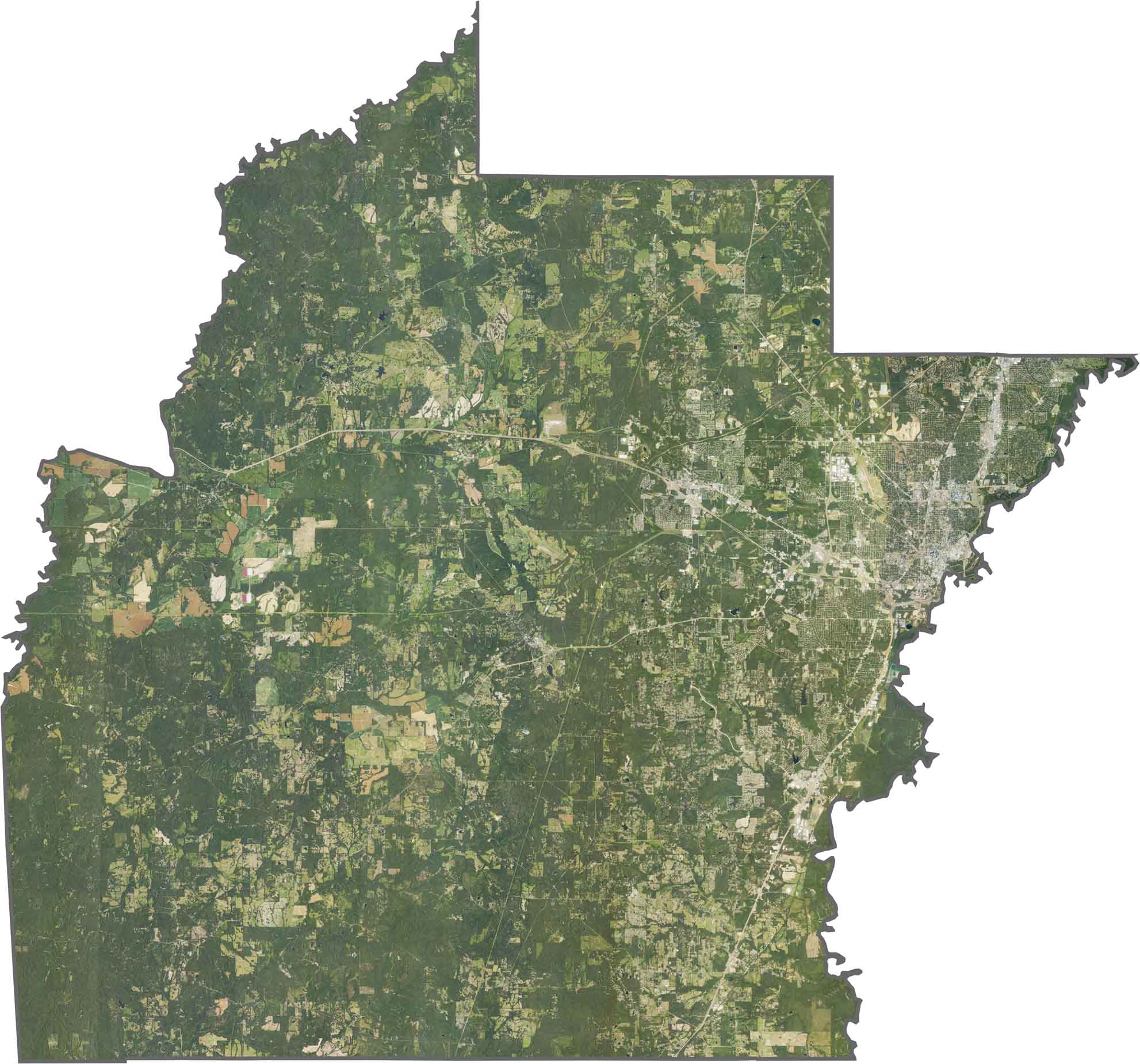
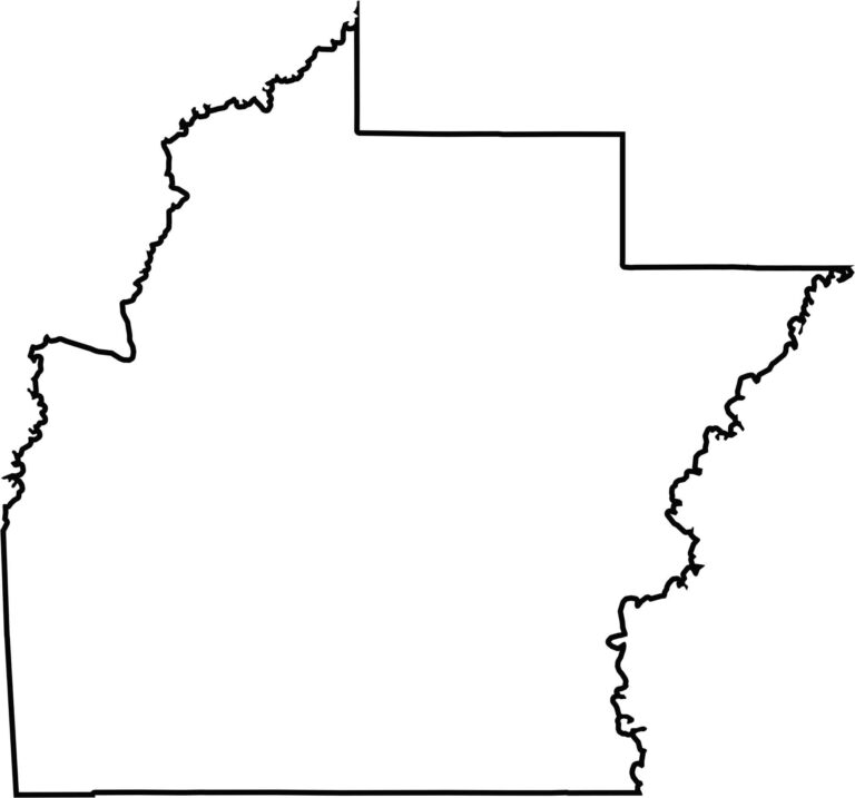
Hinds County has a roughly rectangular shape, although its eastern and western sides are less uniform. The Big Black River forms part of the western boundary, while the Pearl River runs along the eastern side. Its central location makes it an important geographic center for the region.


Rankin County Map Download Mississippi – Outline Map and Blank Map

Madison County Map Download Mississippi – Outline Map and Blank Map

Jackson County Map Download Mississippi – Outline Map and Blank Map

Hinds County Map Download Mississippi – Outline Map and Blank Map

Harrison County Map Download Mississippi – Outline Map and Blank Map
