
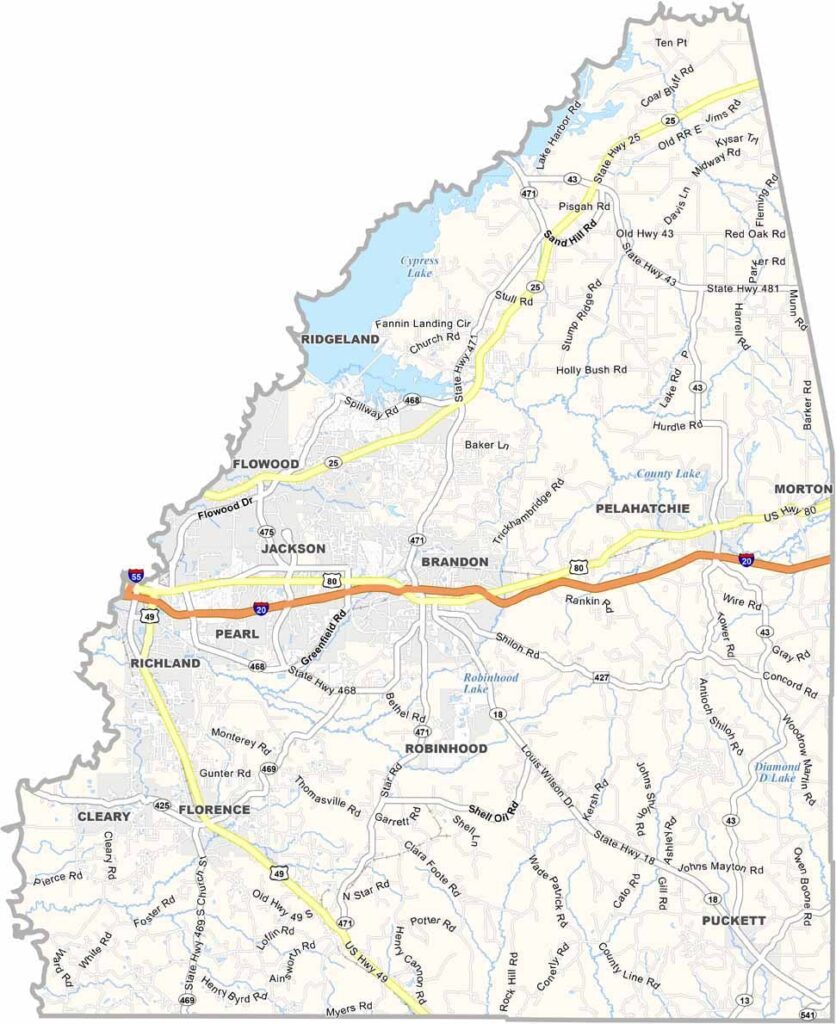

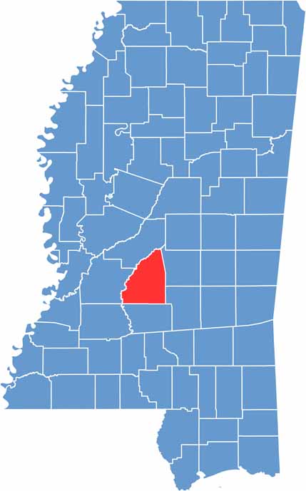
Rankin County sits just east of Jackson, with the Pearl River forming its western boundary. The county offers a little bit of everything, including good schools, growing businesses, and plenty of green spaces.
Visitors often head to the Ross Barnett Reservoir for fishing, boating, and picnicking. The county is also home to Jackson-Medgar Wiley Evers International Airport, making it an important transportation hub for the greater Jackson area.
Rankin County has a long history, from Native American settlements to its involvement in the Civil War. Today, about 160,000 people live across communities such as Pearl, Brandon, and Flowood.
Rankin County has a strong network of major highways. Interstate 20 runs east to west across the county, while U.S. Route 80 provides a parallel route. Use our zoom tool on the road map below to explore every highway in greater detail.
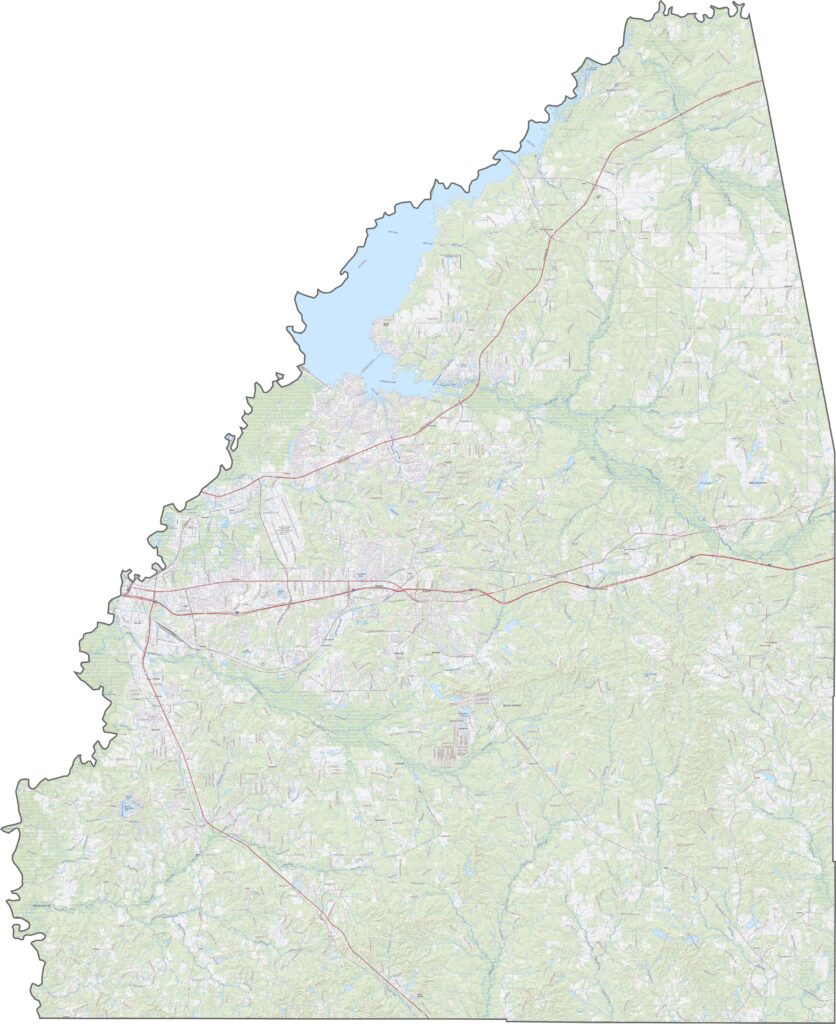
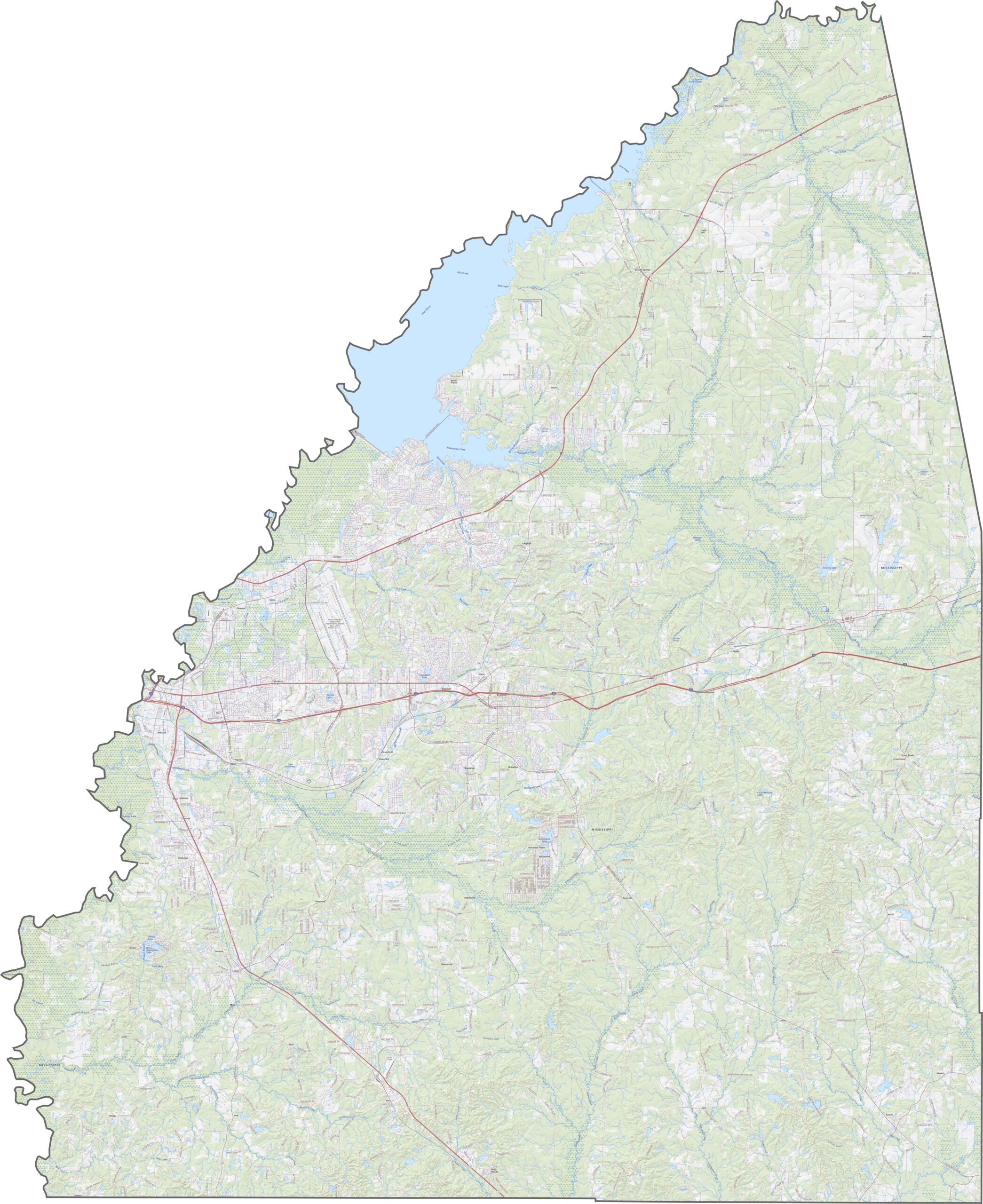
Our satellite map of Rankin County shows a combination of developed areas and forested land. Brandon and Pearl are clearly visible toward the western side, while large patches of pine forest still cover much of the county.
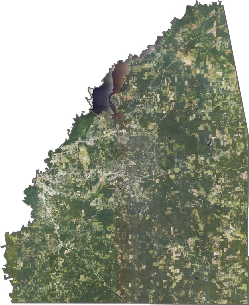
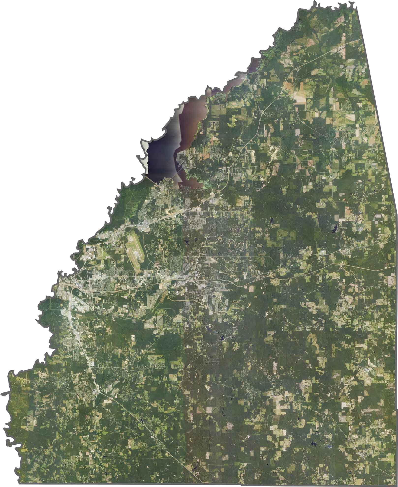
Rankin County has a roughly triangular shape, with the Pearl River forming much of its western boundary. The county lies entirely within the state of Mississippi.
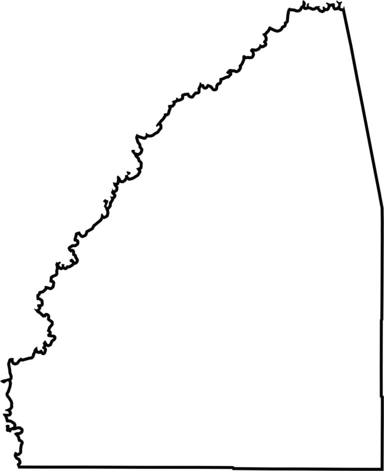


Rankin County Map Download Mississippi – Outline Map and Blank Map

Madison County Map Download Mississippi – Outline Map and Blank Map

Jackson County Map Download Mississippi – Outline Map and Blank Map

Hinds County Map Download Mississippi – Outline Map and Blank Map

Harrison County Map Download Mississippi – Outline Map and Blank Map
