
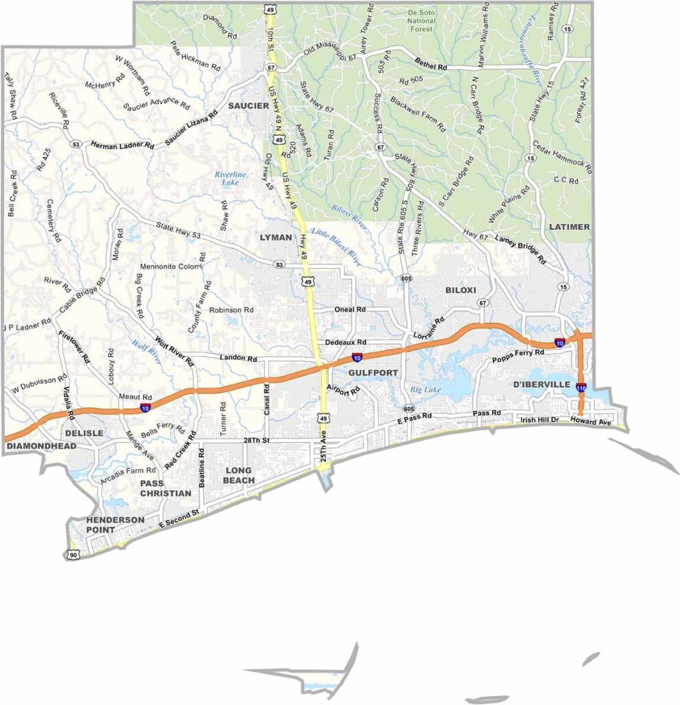

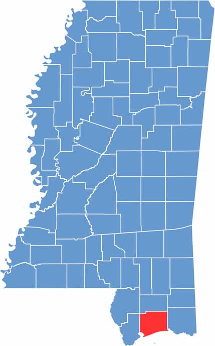
Harrison County is at the heart of Mississippi’s Gulf Coast. It sits between Hancock and Jackson counties and stretches along the shoreline. Biloxi and Gulfport are the county’s largest cities.
It’s hard to talk about Harrison County without mentioning its famous white sand beaches. Casinos bring plenty of nightlife, while the area’s history runs deep. Seafood is a local favorite, with fresh shrimp and oysters available at many restaurants.
But Harrison County is more than just the coast. Inland, De Soto National Forest covers part of the northeast. Sports fans can head to MGM Park to watch the Biloxi Shuckers play.
Harrison County’s highway network connects its coastal communities with areas farther inland. Interstate 10 serves as the main east-west route, while U.S. Highway 49 provides a direct connection north toward Jackson. Use our zoom tool below to explore the routes and intersections throughout Harrison County.
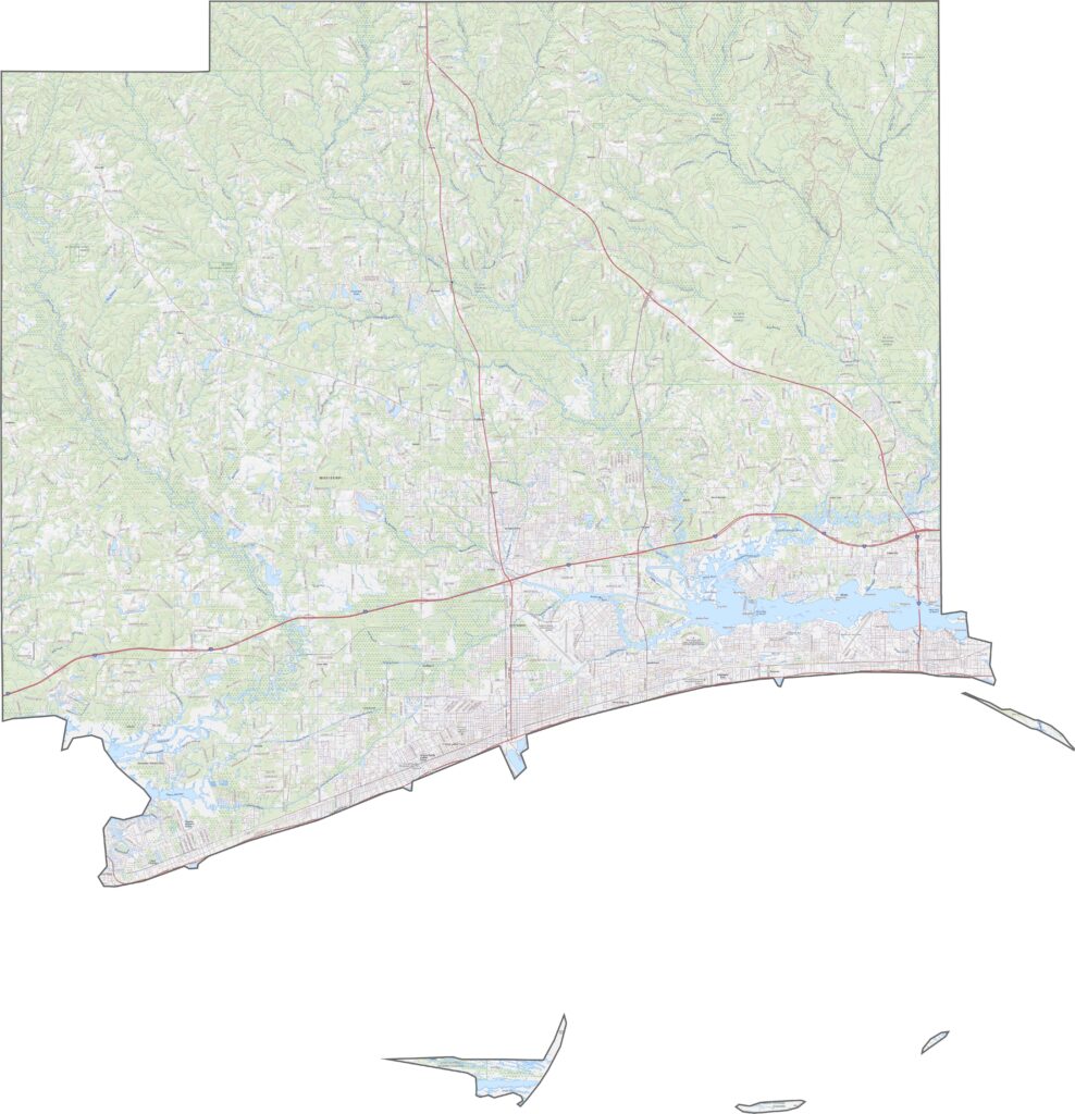
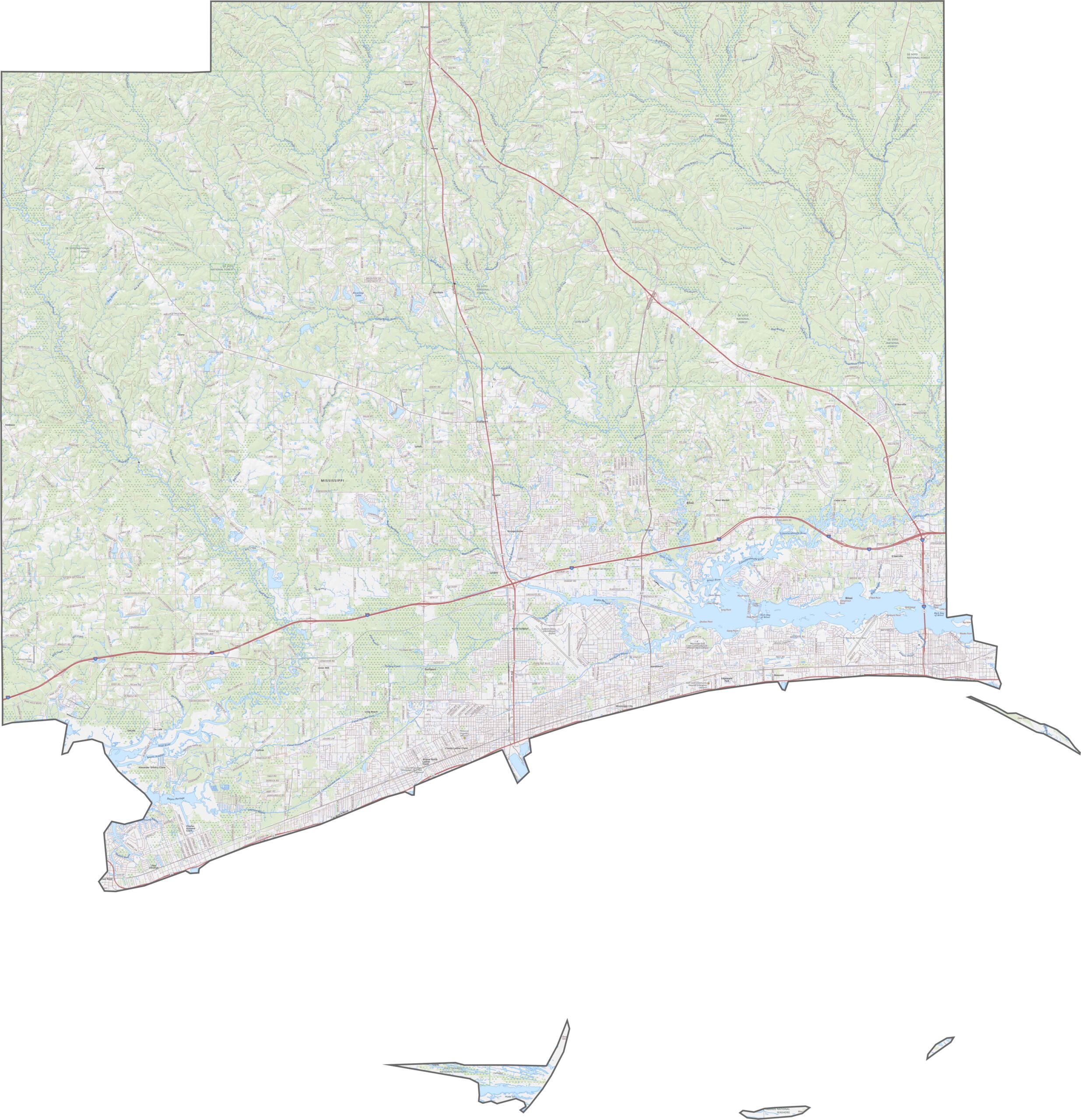
From above, urban development is clearly visible along the coast around Biloxi and Gulfport. Farther inland, marshlands, wetlands, and bayous cover much of the mostly flat coastal plain.
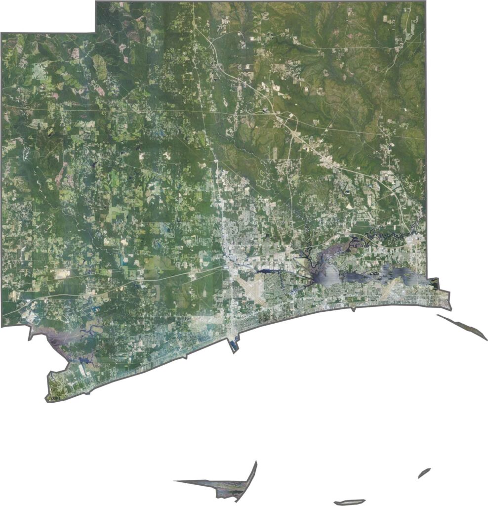
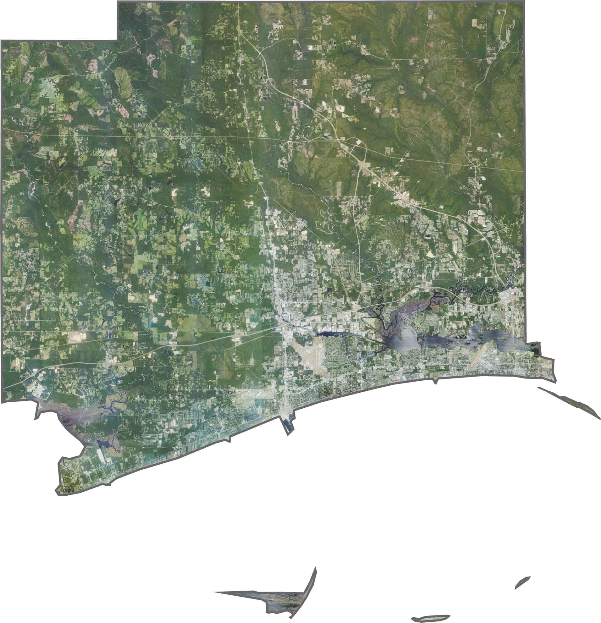
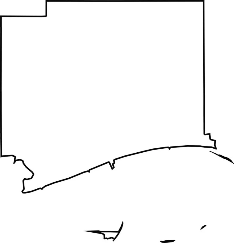
Harrison County has an irregular shape along Mississippi’s southern coastline. Away from the coast, its other boundaries are generally more rectangular.


Rankin County Map Download Mississippi – Outline Map and Blank Map

Madison County Map Download Mississippi – Outline Map and Blank Map

Jackson County Map Download Mississippi – Outline Map and Blank Map

Hinds County Map Download Mississippi – Outline Map and Blank Map

Harrison County Map Download Mississippi – Outline Map and Blank Map
