
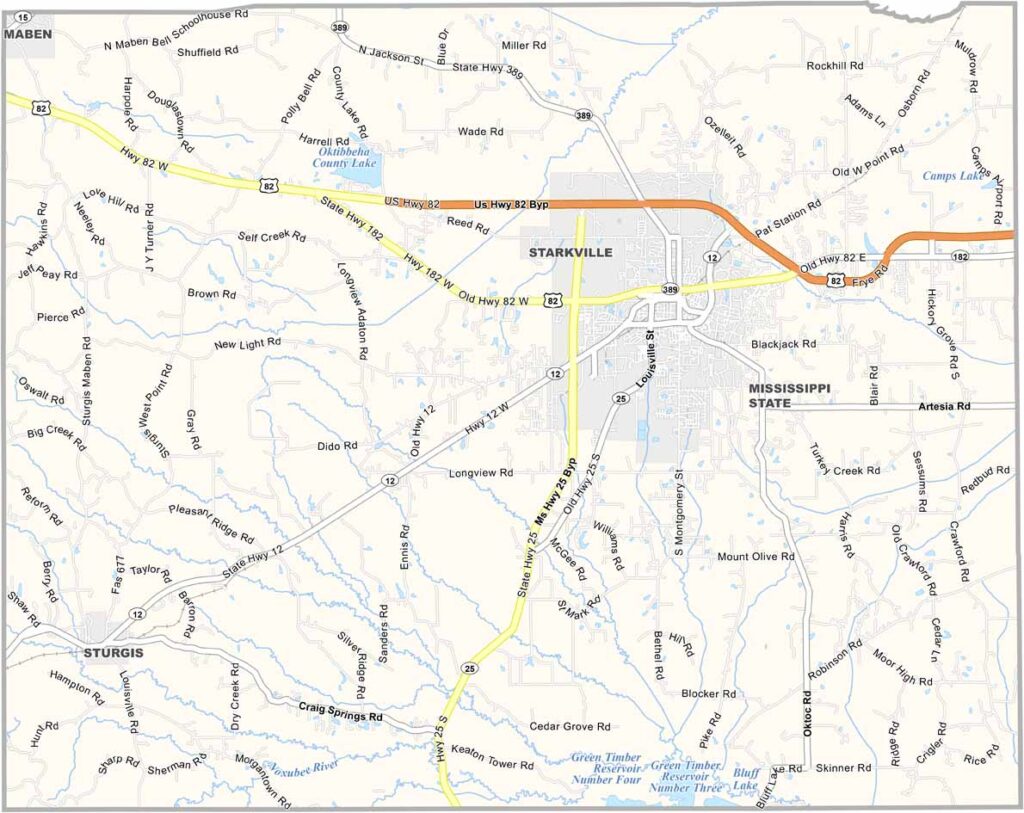
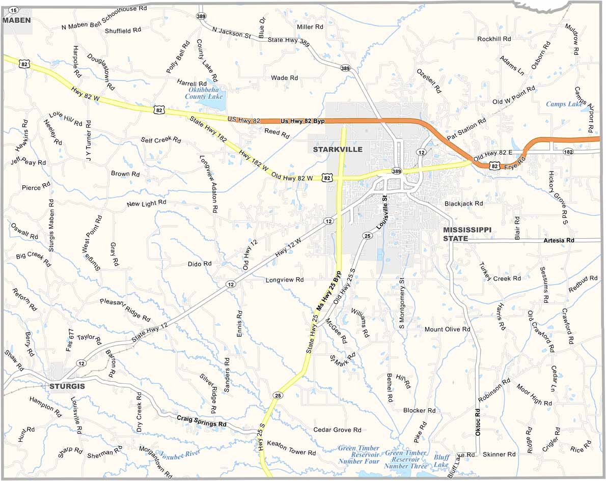
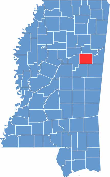
In the heart of Mississippi's Golden Triangle, you'll find Oktibbeha County. It's a mouthful to say, but locals manage just fine.
Starkville is the big town here, home to Mississippi State University. Go Bulldogs! On game days, the whole place turns maroon and white, and you might hear cowbells ringing at odd hours.
The county's name comes from a Choctaw word, supposedly meaning "bloody water" or "icy water," though these days it's more likely to mean "tailgating central."

Mississippi Counties
Rankin County Map Download Mississippi – Outline Map and Blank Map

Mississippi Counties
Madison County Map Download Mississippi – Outline Map and Blank Map

Mississippi Counties
Jackson County Map Download Mississippi – Outline Map and Blank Map

Mississippi Counties
Hinds County Map Download Mississippi – Outline Map and Blank Map

Mississippi Counties
Harrison County Map Download Mississippi – Outline Map and Blank Map

Mississippi Counties