
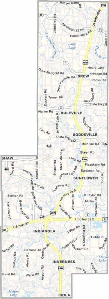
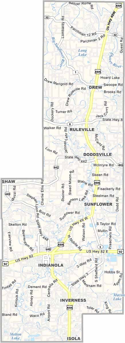
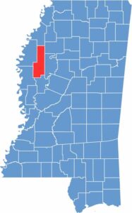
Sunflower County sits right in the middle of the state's western edge. Indianola, the county seat, is famous as the place where B.B. King grew up as a young man. Blues runs deep here.
Folks here are proud of their agricultural roots. The land is flat, with plenty of cotton fields. But the question is: do they grow sunflowers here?
Sunflower County has stories to tell. It's where Fannie Lou Hamer fought for civil rights. You can taste the local flavor in the food too: catfish, greens, and cornbread like nowhere else.

Mississippi Counties
Rankin County Map Download Mississippi – Outline Map and Blank Map

Mississippi Counties
Madison County Map Download Mississippi – Outline Map and Blank Map

Mississippi Counties
Jackson County Map Download Mississippi – Outline Map and Blank Map

Mississippi Counties
Hinds County Map Download Mississippi – Outline Map and Blank Map

Mississippi Counties
Harrison County Map Download Mississippi – Outline Map and Blank Map

Mississippi Counties