
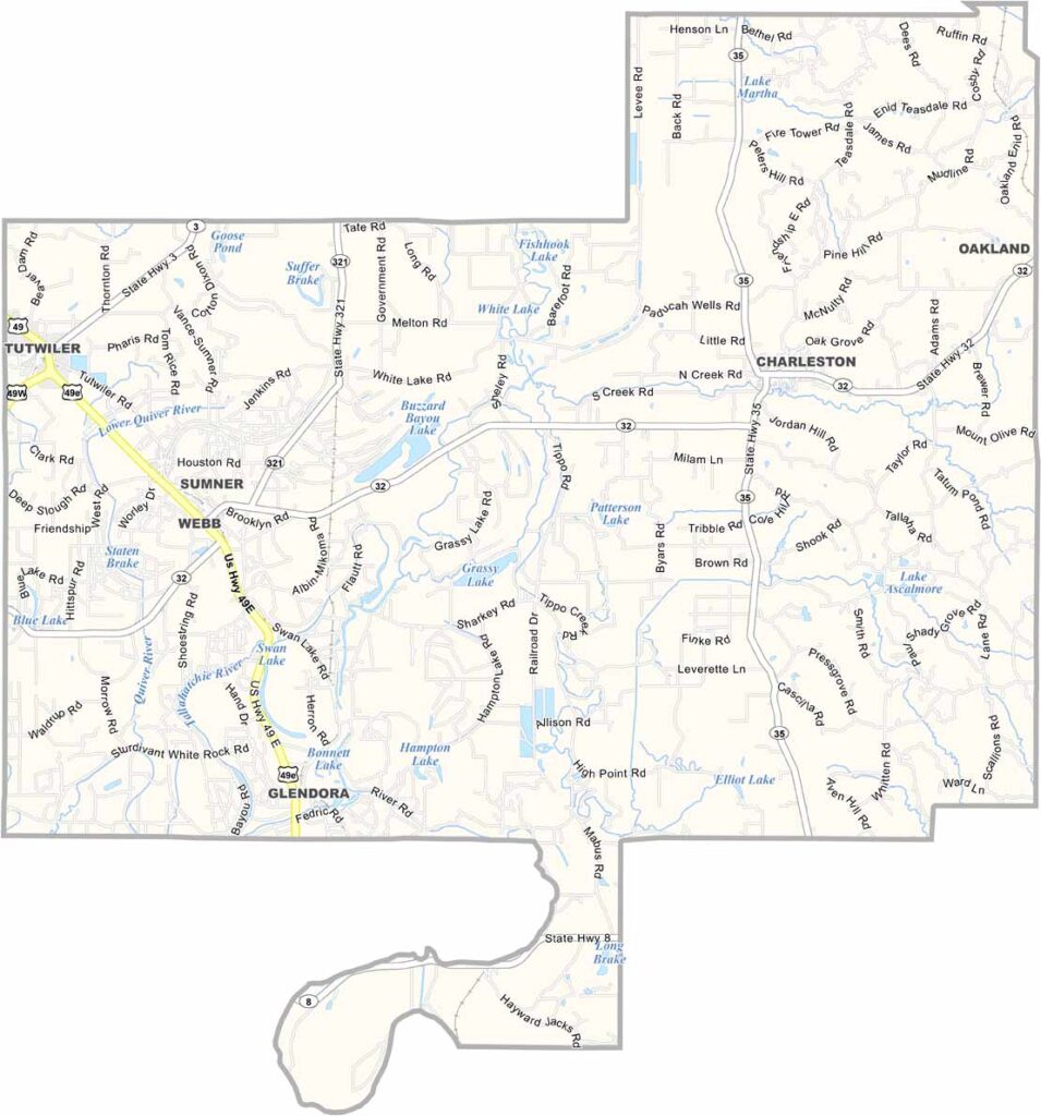
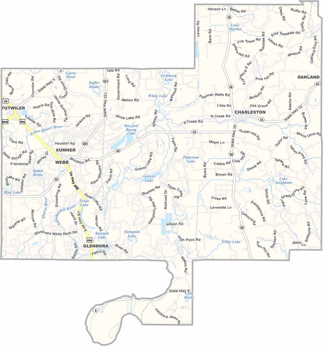
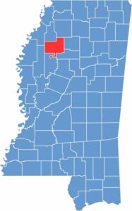
Right in the heart of the Mississippi Delta region, you'll find Tallahatchie County, a place with a complicated past and a hopeful future. The Tallahatchie River snakes through the county, giving it its name and shaping its landscape.
Charleston (in the east) and Sumner (in the west) serve as dual county seats. Cotton fields stretch for miles, showing off the area's agricultural roots.
Nature lovers flock to Tallahatchie National Wildlife Refuge for some of the best bird-watching in the state. Tallahatchie County gained notoriety as the site of Emmett Till's murder, a pivotal moment in the civil rights movement.

Mississippi Counties
Rankin County Map Download Mississippi – Outline Map and Blank Map

Mississippi Counties
Madison County Map Download Mississippi – Outline Map and Blank Map

Mississippi Counties
Jackson County Map Download Mississippi – Outline Map and Blank Map

Mississippi Counties
Hinds County Map Download Mississippi – Outline Map and Blank Map

Mississippi Counties
Harrison County Map Download Mississippi – Outline Map and Blank Map

Mississippi Counties