
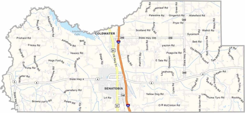
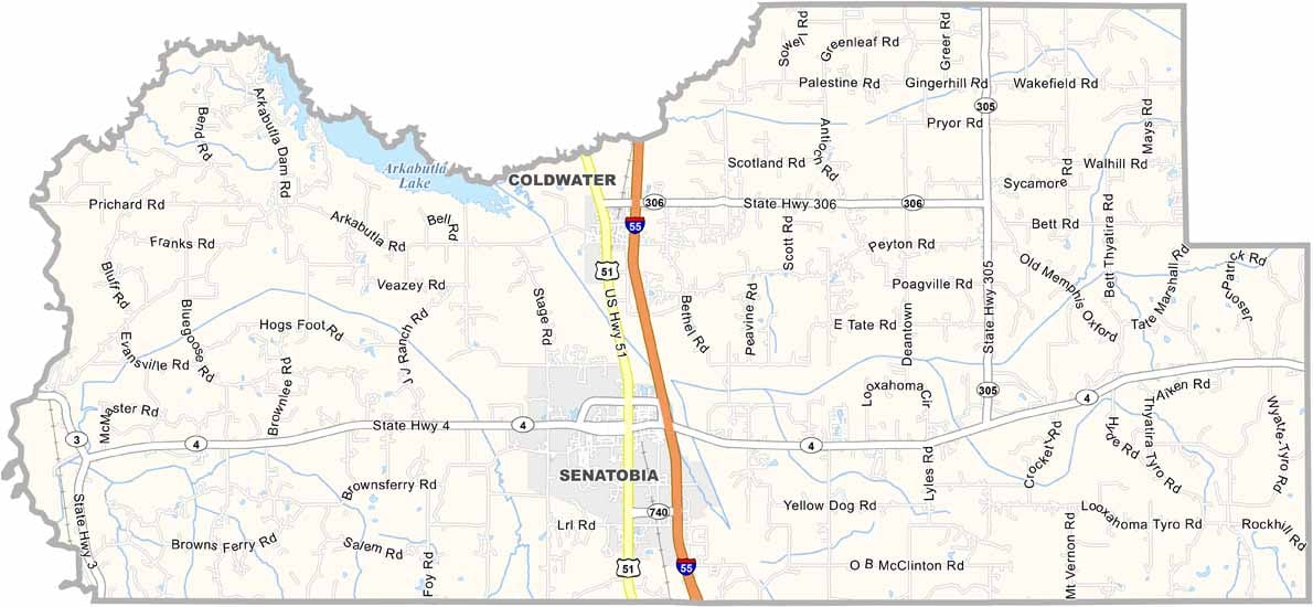
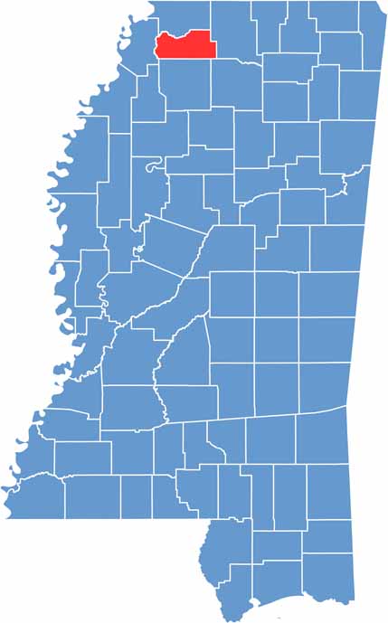
Tate County sits just south of Memphis, right where the Delta meets the hills. The Coldwater River, a major waterway here, winds along the county's western border.
Tate County is known for its peaches, some of the sweetest you'll ever taste. Folks here are friendly, and it's common to see people waving as you drive by.
Northwest Mississippi Community College keeps things lively with sports and cultural events. Senatobia, a small town, is the county seat.

Mississippi Counties
Rankin County Map Download Mississippi – Outline Map and Blank Map

Mississippi Counties
Madison County Map Download Mississippi – Outline Map and Blank Map

Mississippi Counties
Jackson County Map Download Mississippi – Outline Map and Blank Map

Mississippi Counties
Hinds County Map Download Mississippi – Outline Map and Blank Map

Mississippi Counties
Harrison County Map Download Mississippi – Outline Map and Blank Map

Mississippi Counties