
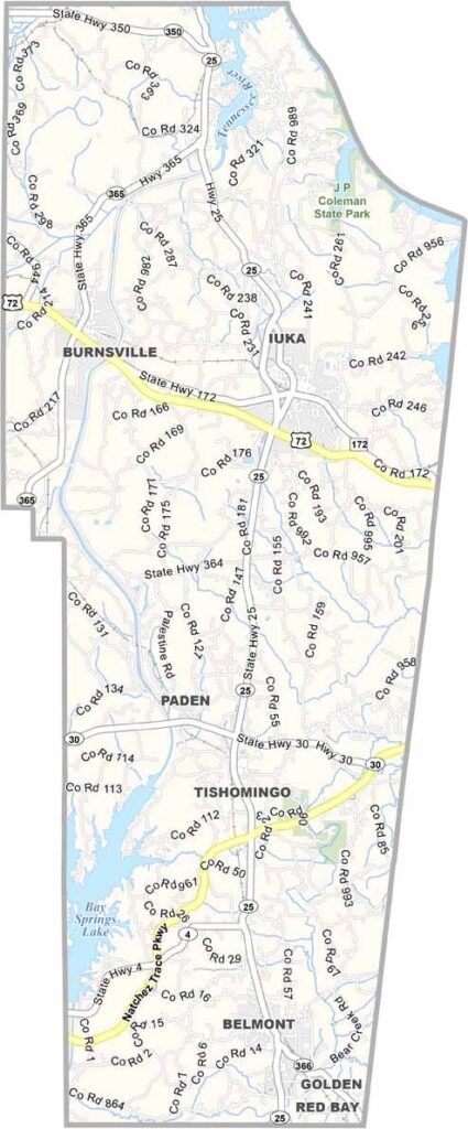
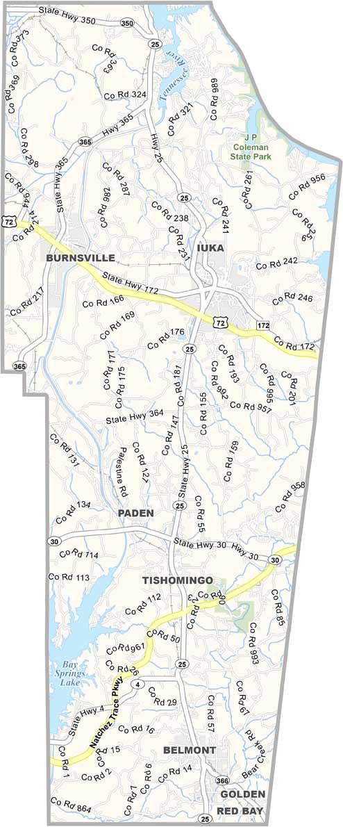
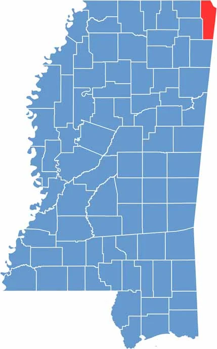
Tishomingo County sits in the far northeast of Mississippi, along the Alabama and Tennessee borders. The Tennessee River forms its eastern border, making it a nice spot for fishing and boating.
It's a place with more trees than people, which is why outdoor types flock to Tishomingo State Park for its cliffs and hiking trails. There's also J.P. Coleman State Park, home to a beautiful waterfall.
Iuka, the county seat, is small but lively. You won't find any big cities, just small towns with real character. Summers are hot and sticky, but when fall rolls around, the forests burst into color like you wouldn't believe.

Mississippi Counties
Rankin County Map Download Mississippi – Outline Map and Blank Map

Mississippi Counties
Madison County Map Download Mississippi – Outline Map and Blank Map

Mississippi Counties
Jackson County Map Download Mississippi – Outline Map and Blank Map

Mississippi Counties
Hinds County Map Download Mississippi – Outline Map and Blank Map

Mississippi Counties
Harrison County Map Download Mississippi – Outline Map and Blank Map

Mississippi Counties