
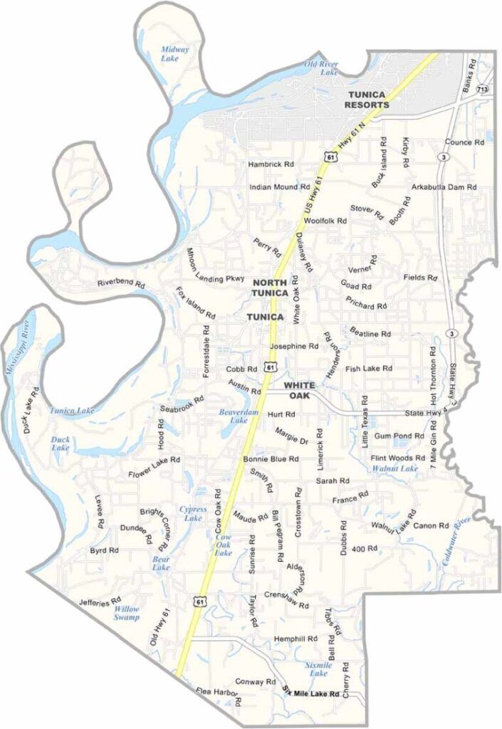
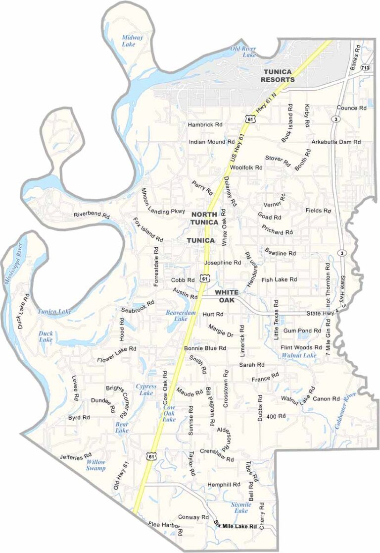
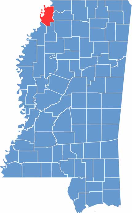
The Mississippi Delta stretches out, flat and fertile, and right on its northwestern edge sits Tunica County. It borders Arkansas to the west.
Once known as the "Vegas of the South," Tunica's casino resorts draw visitors looking for a good time and a lucky break. But there's history here too.
The county has been around since 1836, carved out of Indian lands ceded to the U.S. government. Blues runs deep in these parts. You can feel it in the air and hear it in the local juke joints.

Mississippi Counties
Rankin County Map Download Mississippi – Outline Map and Blank Map

Mississippi Counties
Madison County Map Download Mississippi – Outline Map and Blank Map

Mississippi Counties
Jackson County Map Download Mississippi – Outline Map and Blank Map

Mississippi Counties
Hinds County Map Download Mississippi – Outline Map and Blank Map

Mississippi Counties
Harrison County Map Download Mississippi – Outline Map and Blank Map

Mississippi Counties