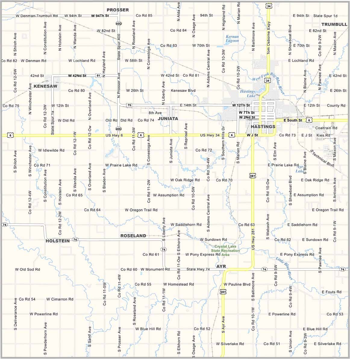
Adams County Map, Nebraska

Adams County, Nebraska

Adams County lies in the south-central part of Nebraska and is named after John Adams, the second president of the United States. Hastings, the county seat, is known as the birthplace of Kool-Aid. Bet you didn't see that coming!

The county is a mix of prairie and farmland, with corn and soybeans among the major crops. Locals love their sports, especially when it comes to Hastings College football games.

The area has some interesting history too, like the Naval Ammunition Depot that was active during World War II. Fishing is pretty good at Lake Hastings if you're into that sort of thing.
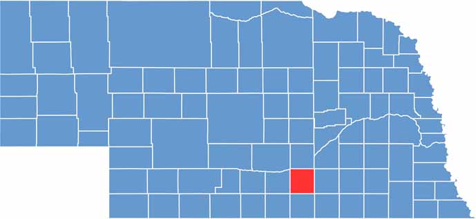

Adams County location map of Nebraska
CategoryDetails
County NameAdams County
County SeatHastings
EtymologyNamed after John Adams, the second President of the United States
Cities, Towns, and CommunitiesHastings, Juniata, Kenesaw, Ayr, Roseland, Prosser, Holstein
Interstates and HighwaysUS 6, US 34, US 281, NE 74, NE 41
FIPS Code31-001
Total Area (Land and Water)564 square miles (Land: 563 sq mi, Water: 1 sq mi)
Adjacent Counties (and Direction)Hamilton County (Northeast), Clay County (East), Webster County (South), Kearney County (West), Buffalo County (Northwest), Hall County (North)
Time ZoneCentral Time Zone (CT)
StateNebraska
Coordinates40.5243° N, 98.5016° W
Major LandmarksHastings Museum, Heartwell Park, Lochland Country Club, Prairie Loft Center
PopulationApproximately 31,500
Scroll to Top