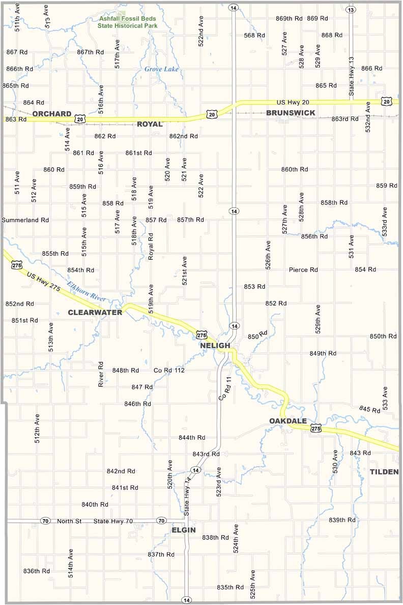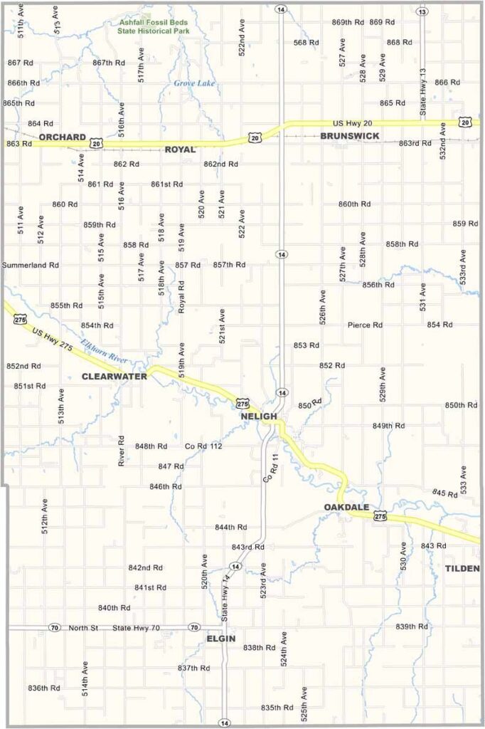
Antelope County Map, Nebraska

Antelope County, Nebraska

Antelope County is located in northeast Nebraska and takes its name from the pronghorn antelope that once roamed the area. These days, you're more likely to see cattle than antelope.

The Elkhorn River cuts through the county, giving folks plenty of chances for fishing and canoeing. Neligh, the largest town and county seat, is home to an old mill that's pretty cool to check out.

Farming is big business here, with corn and soybeans dominating the landscape. The county fair in August is always a blast, and history buffs can visit the Ashfall Fossil Beds in the northern part of the county.
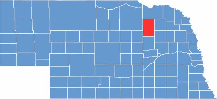

Antelope County location map of Nebraska
CategoryDetails
County NameAntelope County
County SeatNeligh
EtymologyNamed after the numerous antelope that roamed the area
Cities, Towns, and CommunitiesNeligh, Elgin, Clearwater, Orchard, Tilden, Oakdale, Royal, Brunswick
Interstates and HighwaysUS 275, NE 14, NE 45, NE 70
FIPS Code31-003
Total Area (Land and Water)858 square miles (Land: 857 sq mi, Water: 1 sq mi)
Adjacent Counties (and Direction)Pierce County (East), Madison County (Southeast), Boone County (South), Wheeler County (Southwest), Holt County (West), Knox County (North)
Time ZoneCentral Time Zone (CT)
StateNebraska
Coordinates42.1300° N, 98.0411° W
Major LandmarksAshfall Fossil Beds State Historic Park, Neligh Mill State Historic Site, Grove Lake Park
PopulationApproximately 6,400
Scroll to Top