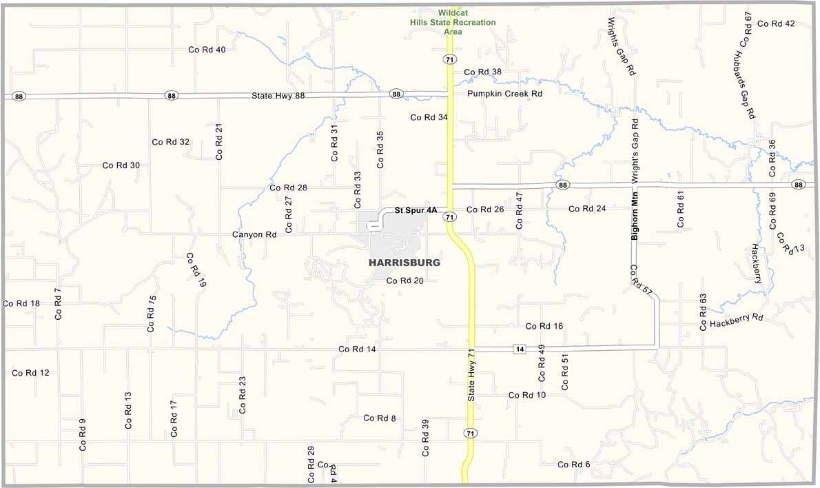
Banner County Map, Nebraska

Banner County, Nebraska

Banner County lies in the Nebraska Panhandle along the Wyoming border and is named after the American flag, which is pretty patriotic if you ask me.

The landscape is a mix of rugged buttes and wide-open prairies. Harrisburg is the county seat, and farming and ranching keep the local economy going.

You can't miss the Wildcat Hills, with their great hiking trails and awesome views. The area was once part of the Oregon Trail route. People here are tough and neighborly, and if you're lucky, you might catch a glimpse of a golden eagle soaring overhead.
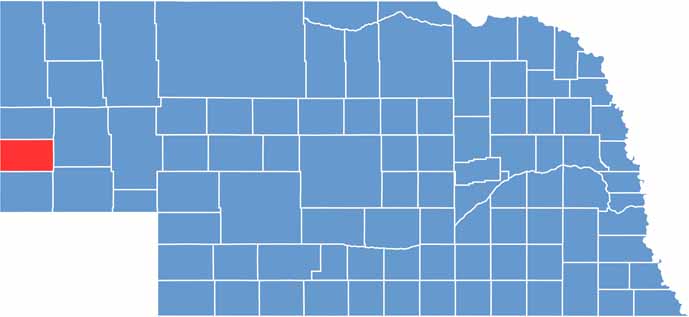

Banner County location map of Nebraska
CategoryDetails
County NameBanner County
County SeatHarrisburg
EtymologyNamed for the banner-waving pioneers who settled the region
Cities, Towns, and CommunitiesHarrisburg, Ashford, Bronson
Interstates and HighwaysNE 71
FIPS Code31-007
Total Area (Land and Water)746 square miles (Land: 746 sq mi, Water: 0.3 sq mi)
Adjacent Counties (and Direction)Scotts Bluff County (North), Morrill County (East), Cheyenne County (Southeast), Kimball County (South), Laramie County, Wyoming (West), Goshen County, Wyoming (Northwest)
Time ZoneMountain Time Zone (MT)
StateNebraska
Coordinates41.5622° N, 103.0918° W
Major LandmarksWildcat Hills State Recreation Area, Cedar Canyon Wildlife Management Area
PopulationApproximately 700
Scroll to Top