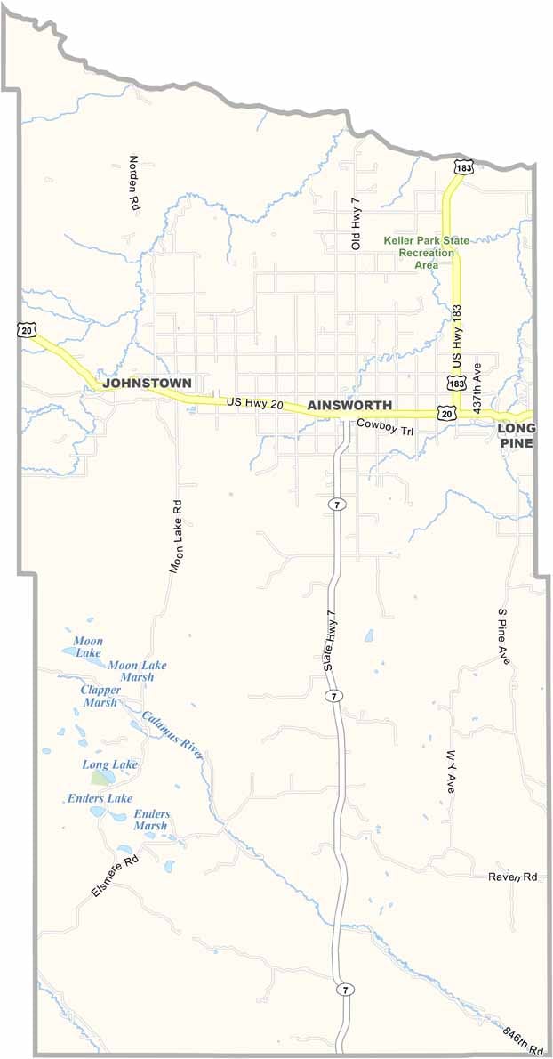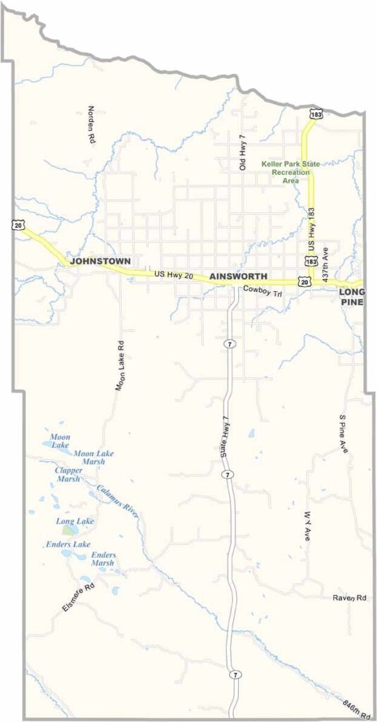
Brown County Map, Nebraska

Brown County, Nebraska

Brown County sits in the middle of Nebraska's Sandhills region. Ainsworth, the county seat, calls itself the "Middle of Nowhere," and they mean it as a compliment.

The landscape is a sea of grass-covered sand dunes stretching nearly everywhere you look. Ranching is the big industry, with far more cattle than people by a long shot.

The Niobrara River, which also forms the northern border, offers great canoeing and fishing opportunities. The annual Brown County Fair is a highlight of the summer. And if you're into paleontology, you'll be interested to know that plenty of fossils have been found in these parts.
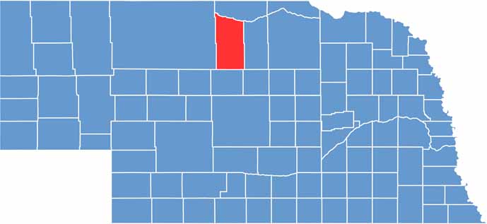

Brown County location map of Nebraska
CategoryDetails
County NameBrown County
County SeatAinsworth
EtymologyNamed after the Brown family of early settlers
Cities, Towns, and CommunitiesAinsworth, Johnstown, Long Pine
Interstates and HighwaysUS 20, NE 7
FIPS Code31-017
Total Area (Land and Water)1,225 square miles (Land: 1,221 sq mi, Water: 4 sq mi)
Adjacent Counties (and Direction)Keya Paha County (North), Rock County (East), Loup County (Southeast), Blaine County (South), Cherry County (West)
Time ZoneCentral Time Zone (CT)
StateNebraska
Coordinates42.5484° N, 99.9440° W
Major LandmarksKeller Park State Recreation Area, Long Pine Creek, Ainsworth Municipal Golf Course
PopulationApproximately 3,000
Scroll to Top