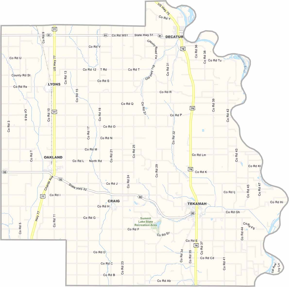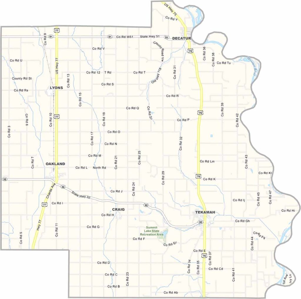
Burt County Map, Nebraska

Burt County, Nebraska

Burt County is located along the Missouri River in northeastern Nebraska. Tekamah serves as the county seat and is situated near Summit Lake State Recreational Area.

The landscape combines rolling hills with fertile farmland. Corn and soybeans are the main crops, while cattle are also common throughout the area.

The county has an interesting history, including connections to the Lewis and Clark expedition. Fishing is popular in the local lakes and along the Missouri River. People here are friendly year-round, always ready to offer a warm smile and a helping hand.
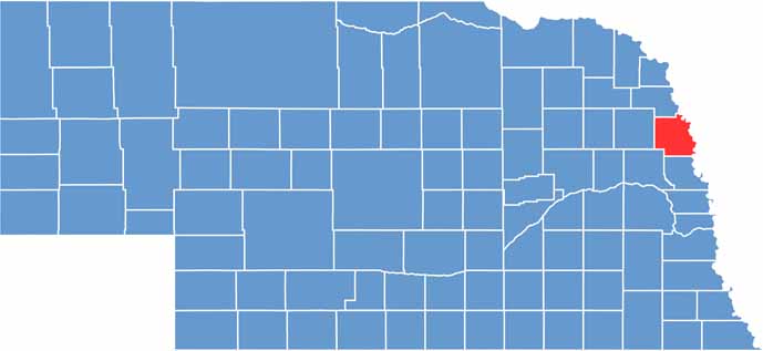

Burt County location map of Nebraska
CategoryDetails
County NameBurt County
County SeatTekamah
EtymologyNamed after Francis Burt, the first governor of the Nebraska Territory
Cities, Towns, and CommunitiesTekamah, Oakland, Lyons, Decatur, Craig, Bertha, Rosalie
Interstates and HighwaysUS 75, NE 32, NE 51
FIPS Code31-021
Total Area (Land and Water)497 square miles (Land: 492 sq mi, Water: 5 sq mi)
Adjacent Counties (and Direction)Thurston County (North), Monona County, Iowa (Northeast), Harrison County, Iowa (Southeast), Washington County (South), Dodge County (Southwest), Cuming County (West)
Time ZoneCentral Time Zone (CT)
StateNebraska
Coordinates41.8626° N, 96.3149° W
Major LandmarksTekamah City Park, Burt County Museum, Missouri River
PopulationApproximately 6,200
Scroll to Top