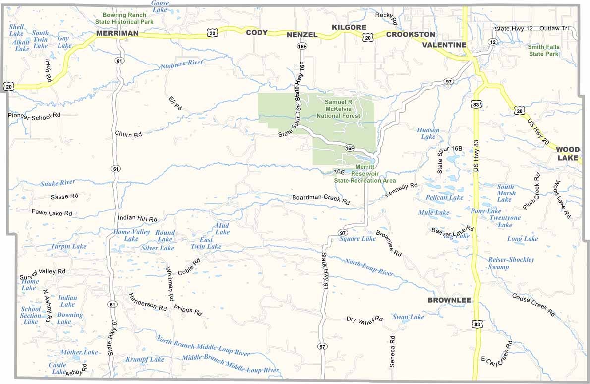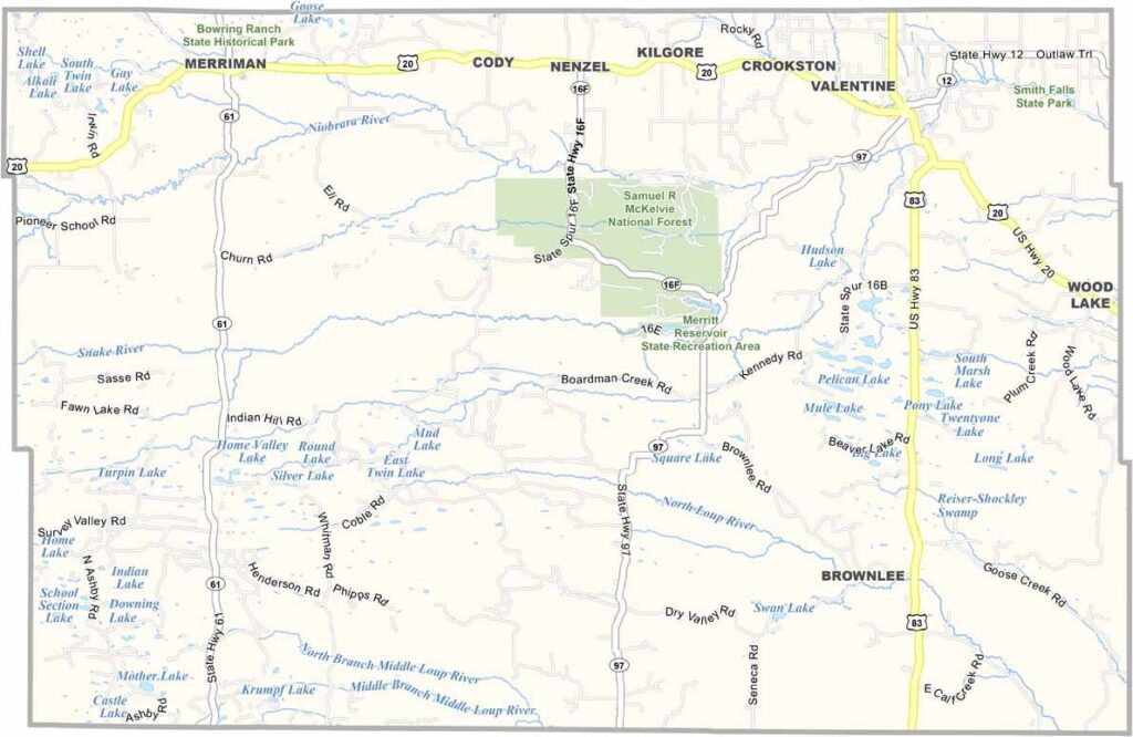
Cherry County Map, Nebraska

Cherry County, Nebraska

Cherry County is located in north-central Nebraska. It’s huge—yep, it’s the largest county in the state by area, covering more land than Connecticut. Valentine serves as the county seat.

The county is part of the Nebraska Sandhills, with grass-covered dunes stretching as far as the eye can see. Ranching is the main industry here, with cattle far outnumbering people.

The Niobrara River runs through the county, offering great opportunities for canoeing and fishing. There’s a strong sense of community, especially during the annual Cherry County Fair. Nature lovers can also explore the Valentine National Wildlife Refuge.
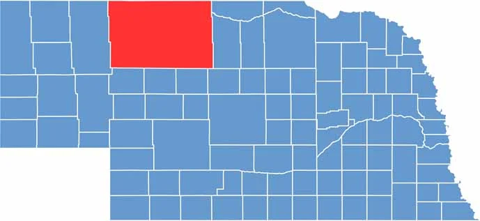

Cherry County location map of Nebraska
CategoryDetails
County NameCherry County
County SeatValentine
EtymologyNamed after Lt. Samuel A. Cherry, a U.S. Army officer
Cities, Towns, and CommunitiesValentine, Cody, Kilgore, Merriman, Nenzel, Wood Lake, Brownlee
Interstates and HighwaysUS 20, NE 61, NE 97
FIPS Code31-031
Total Area (Land and Water)6,009 square miles (Land: 5,960 sq mi, Water: 49 sq mi)
Adjacent Counties (and Direction)Bennett County, South Dakota (North), Todd County, South Dakota (North), Tripp County, South Dakota (Northeast), Brown County (East), Keya Paha County (East), Blaine County (Southeast), Grant County (South), Thomas County (South), Hooker County (South), Sheridan County (West), Oglala Lakota County, South Dakota (Northwest)
Time ZoneCentral Time Zone (CT) in east, Mountain Time Zone (MT) in west
StateNebraska
Coordinates42.6343° N, 101.1356° W
Major LandmarksNiobrara National Scenic River, Merritt Reservoir State Recreation Area, Fort Niobrara National Wildlife Refuge
PopulationApproximately 5,700
Scroll to Top