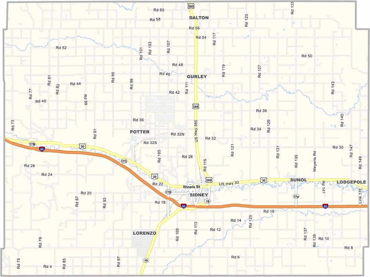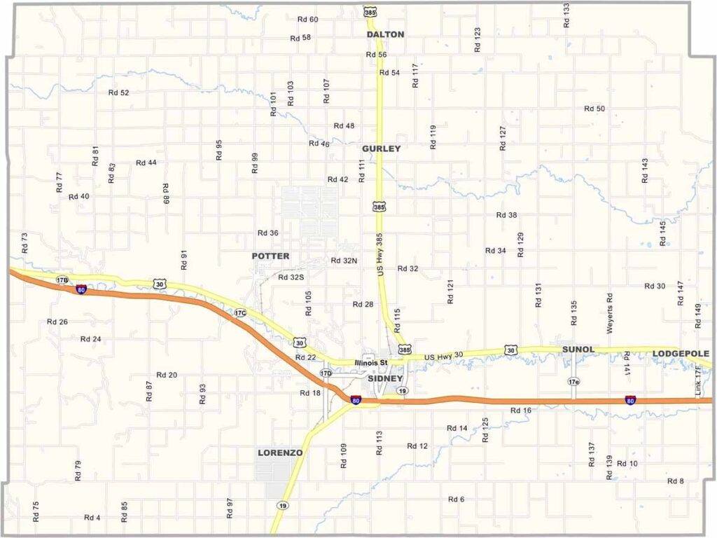
Cheyenne County Map, Nebraska

Cheyenne County, Nebraska

Cheyenne County is located in the Nebraska Panhandle, right along the borders of Colorado and Wyoming. Sidney serves as the county seat. Cabela’s, the well-known outdoor retailer, also got its start here.

The landscape has that classic High Plains look, with mostly flat terrain and the occasional bluff or creek breaking up the scenery. Farming and ranching are major parts of the local economy, while oil and natural gas production also play a role.

The area was once a wild frontier town, but these days, life is a little more settled. The county has an interesting history, including connections to the Pony Express and the transcontinental railroad. It’s a piece of local history that residents take pride in.
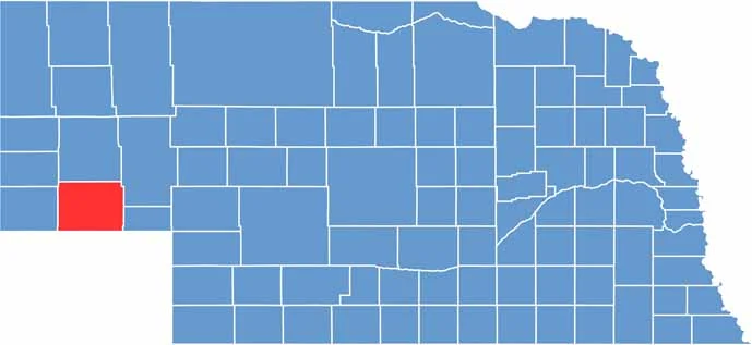

Cheyenne County location map of Nebraska
CategoryDetails
County NameCheyenne County
County SeatSidney
EtymologyNamed after the Cheyenne Native American tribe
Cities, Towns, and CommunitiesSidney, Potter, Gurley, Dalton, Lodgepole, Brownson
Interstates and HighwaysI-80, US 30, US 385
FIPS Code31-033
Total Area (Land and Water)1,196 square miles (Land: 1,196 sq mi, Water: 0.3 sq mi)
Adjacent Counties (and Direction)Morrill County (North), Garden County (Northeast), Deuel County (East), Sedgwick County, Colorado (Southeast), Logan County, Colorado (South), Kimball County (West), Banner County (Northwest)
Time ZoneMountain Time Zone (MT)
StateNebraska
Coordinates41.2196° N, 103.0093° W
Major LandmarksChimney Rock National Historic Site, Fort Sidney Museum, Sidney Historic Downtown
PopulationApproximately 9,500
Scroll to Top