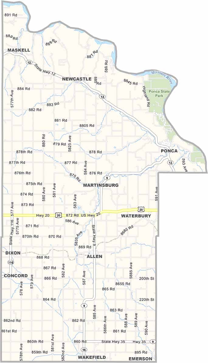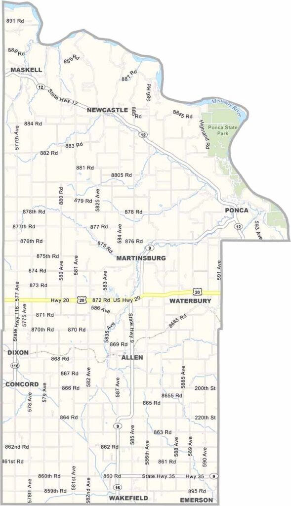
Dixon County Map, Nebraska

Dixon County, Nebraska

Dixon County is located in the northeastern corner of Nebraska. It sits along the Missouri River, which forms the county’s northern border. Ponca serves as the county seat and has a rich history.

Ponca State Park is located here, offering a beautiful setting for hiking, camping, and enjoying views of the Missouri River. The landscape is largely agricultural, with corn and soybeans being the main crops.

But there’s more to Dixon County than farming. Those interested in Native American history may also want to explore nearby Ionia Volcano. Don’t worry, it isn’t actually a volcano, but rather a fascinating geological formation with plenty of history.
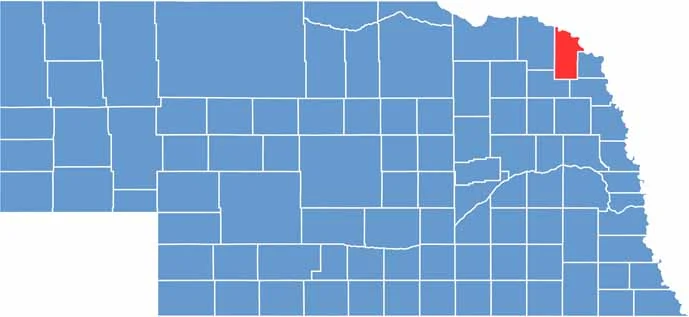

Dixon County location map of Nebraska
CategoryDetails
County NameDixon County
County SeatPonca
EtymologyNamed after the Dixon family, local early settlers
Cities, Towns, and CommunitiesPonca, Wakefield, Allen, Concord, Dixon, Martinsburg
Interstates and HighwaysNE 9, NE 12, NE 15
FIPS Code31-051
Total Area (Land and Water)483 square miles (Land: 476 sq mi, Water: 7 sq mi)
Adjacent Counties (and Direction)Union County, South Dakota (Northeast), Dakota County (East), Thurston County (Southeast), Wayne County (Southwest), Cedar County (West), Clay County, South Dakota (Northwest)
Time ZoneCentral Time Zone (CT)
StateNebraska
Coordinates42.4151° N, 96.8420° W
Major LandmarksPonca State Park, Danish Alps State Recreation Area, Buckskin Hills
PopulationApproximately 5,600
Scroll to Top