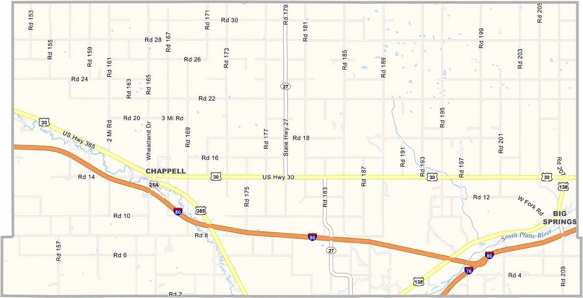
Deuel County Map, Nebraska

Deuel County, Nebraska

Deuel County is located in western Nebraska, right along the Colorado border. It’s a small but resilient county, with Chappell serving as the county seat in the western part of the area.

The landscape has that classic High Plains look, with wide-open spaces stretching as far as the eye can see. Farming is the main industry, with wheat being an important crop. Cattle ranching also plays a role in the local economy.

The county has some interesting history as well, including connections to the Pony Express. It may not appeal to everyone, but for those who enjoy wide-open skies and peaceful nights, Deuel County has a charm that’s hard to miss.
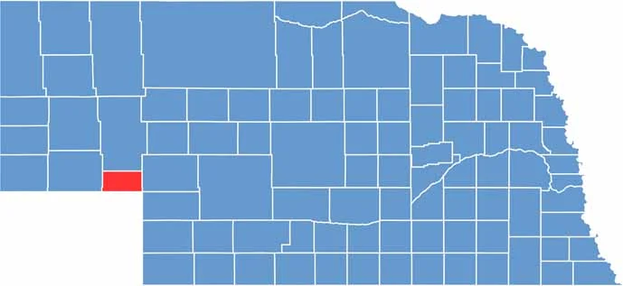

Deuel County location map of Nebraska
CategoryDetails
County NameDeuel County
County SeatChappell
EtymologyNamed after the Deuel family of early settlers
Cities, Towns, and CommunitiesChappell, Big Springs
Interstates and HighwaysI-80, US 30, NE 27
FIPS Code31-049
Total Area (Land and Water)441 square miles (Land: 440 sq mi, Water: 1 sq mi)
Adjacent Counties (and Direction)Garden County (North), Keith County (East), Perkins County (Southeast), Sedgwick County, Colorado (South), Cheyenne County (West)
Time ZoneMountain Time Zone (MT)
StateNebraska
Coordinates41.1067° N, 102.3334° W
Major LandmarksChappell Lake, Windlass Hill Pioneer Trail, Big Springs Village Park
PopulationApproximately 1,800
Scroll to Top