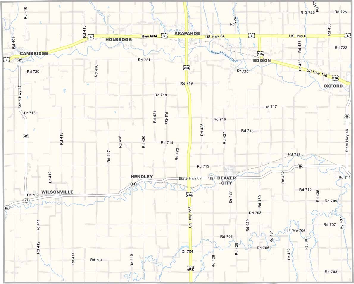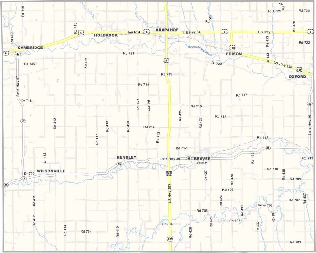
Furnas County Map, Nebraska

Furnas County, Nebraska

Furnas County is located in south-central Nebraska. It’s part of what’s known as the Golden Triangle, a region recognized for its rich farmland.

The Republican River Valley runs through the area. Beaver City serves as the county seat. No beavers to be found, though—just hardworking Nebraskans.

The county has experienced its share of ups and downs. The Dust Bowl hit the area hard back in the day, but the community bounced back. Today, Furnas County is known for friendly towns, open landscapes, and a strong sense of community.
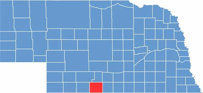

Furnas County location map of Nebraska
CategoryDetails
County NameFurnas County
County SeatBeaver City
EtymologyNamed after Robert W. Furnas, the second Governor of Nebraska
Cities, Towns, and CommunitiesArapahoe, Beaver City, Cambridge, Edison, Hendley, Holbrook, Oxford
Interstates and HighwaysUS 136, NE 46
FIPS Code31-065
Total Area (Land and Water)721 square miles (Land: 719 sq mi, Water: 2 sq mi)
Adjacent Counties (and Direction)Harlan County (East), Norton County, Kansas (South), Decatur County, Kansas (Southwest), Red Willow County (West), Frontier County (Northwest), Gosper County (North), Phelps County (Northeast)
Time ZoneCentral Time Zone (CT)
StateNebraska
Coordinates40.1582° N, 99.8972° W
Major LandmarksArapahoe Municipal Park, Cambridge Lake, Medicine Creek State Recreation Area
PopulationApproximately 4,500
Scroll to Top