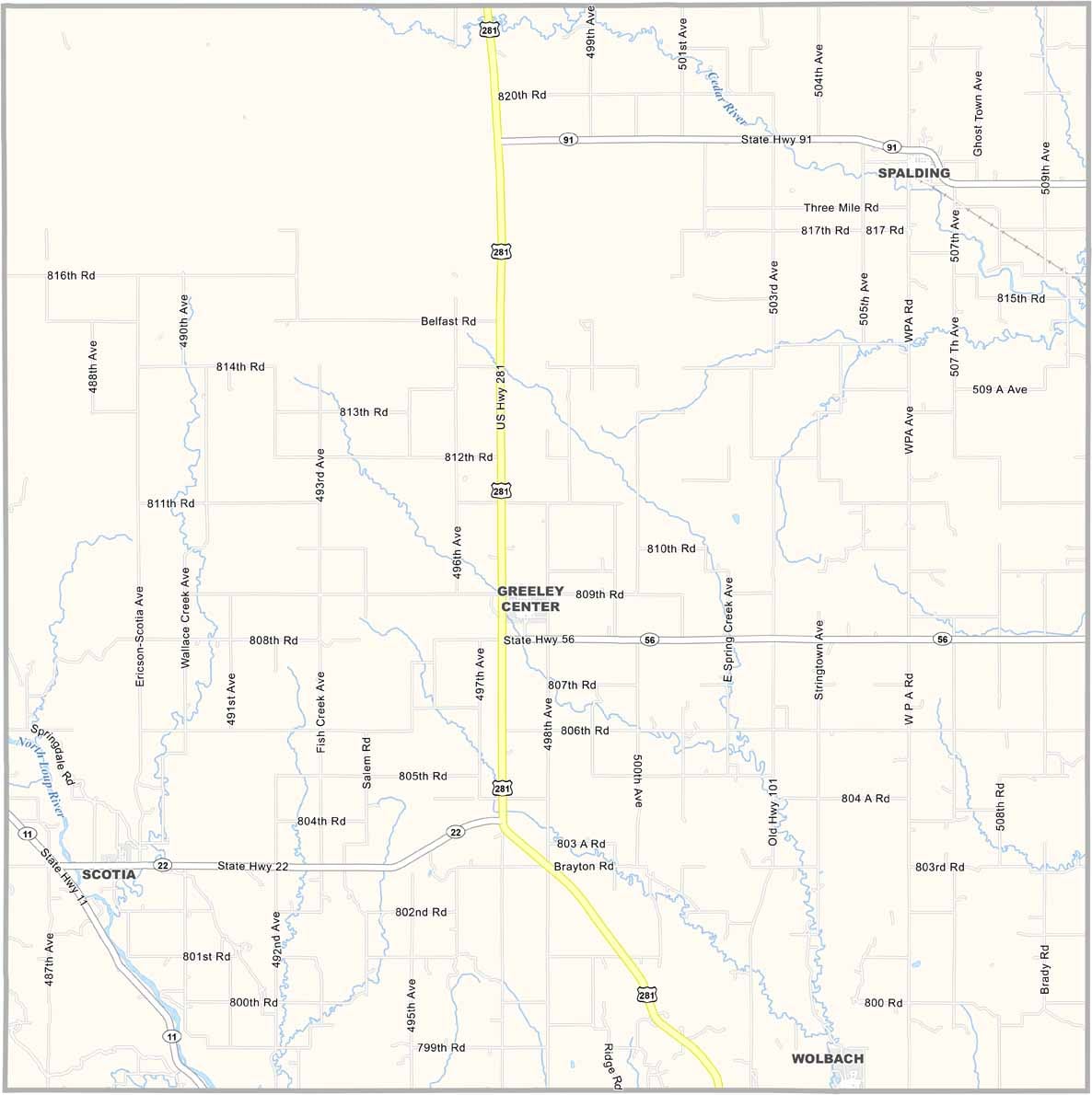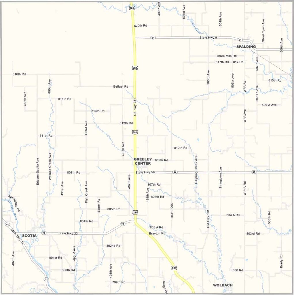
Greeley County Map, Nebraska

Greeley County, Nebraska

Greeley County is located in the heart of Nebraska. Greeley Center serves as the county seat. Don’t go looking for skyscrapers, though.

This is small-town America at its finest. The population has been declining for years, but the people who stay remain committed to their community. They’re resilient, and they have to be.

The North Loup River flows through the county, bringing life to the prairie. Farming isn’t always easy, especially when the weather doesn’t cooperate. But in a good year, when the corn stands tall and the wheat moves in the breeze, there’s nowhere else they’d rather be.
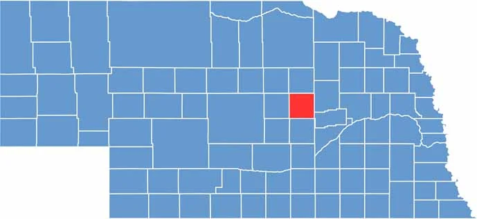

Greeley County location map of Nebraska
CategoryDetails
County NameGreeley County
County SeatGreeley
EtymologyNamed after Horace Greeley, a prominent editor and politician
Cities, Towns, and CommunitiesGreeley, Spalding, Scotia, Wolbach
Interstates and HighwaysNE 11, NE 91, NE 22
FIPS Code31-077
Total Area (Land and Water)571 square miles (Land: 570 sq mi, Water: 1 sq mi)
Adjacent Counties (and Direction)Wheeler County (North), Boone County (Northeast), Nance County (Southeast), Howard County (South), Sherman County (Southwest), Valley County (West)
Time ZoneCentral Time Zone (CT)
StateNebraska
Coordinates41.5481° N, 98.5273° W
Major LandmarksScotia Chalk Mine, Happy Jack Chalk Mine and Natural Springs, Loup Rivers Scenic Byway
PopulationApproximately 2,200
Scroll to Top