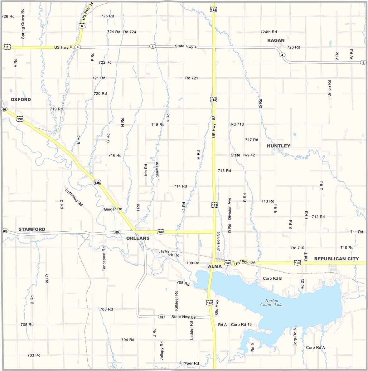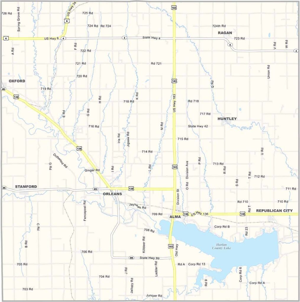
Harlan County Map, Nebraska

Harlan County, Nebraska

The southwestern part of Nebraska is home to Harlan County. It’s not the kind of place you stumble upon by accident. You’ve got to want to come here.

Harlan County Lake is the county’s biggest attraction and the second-largest lake in Nebraska. Locals call it the “Gem of the Plains.” It’s a popular spot for fishing, boating, and camping.

Summers are hot, while winters can be harsh. But the people here are tough and have weathered plenty of droughts and blizzards. The towns are small, but the hearts are big. Everyone knows your name—and your business too, if we’re being honest.
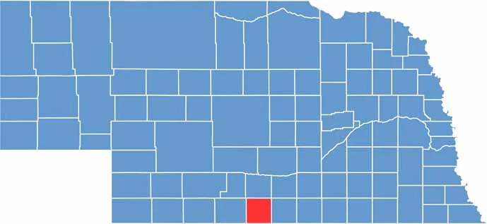

Harlan County location map of Nebraska
CategoryDetails
County NameHarlan County
County SeatAlma
EtymologyNamed after James Harlan, a U.S. Senator from Iowa
Cities, Towns, and CommunitiesAlma, Orleans, Stamford, Republican City, Ragan, Huntley
Interstates and HighwaysUS 136, NE 46
FIPS Code31-083
Total Area (Land and Water)574 square miles (Land: 573 sq mi, Water: 1 sq mi)
Adjacent Counties (and Direction)Phelps County (North), Kearney County (Northeast), Franklin County (East), Phillips County, Kansas (South), Norton County, Kansas (Southwest), Furnas County (West)
Time ZoneCentral Time Zone (CT)
StateNebraska
Coordinates40.1762° N, 99.4014° W
Major LandmarksHarlan County Reservoir, Alma City Park, Methodist Cove Recreation Area
PopulationApproximately 3,200
Scroll to Top