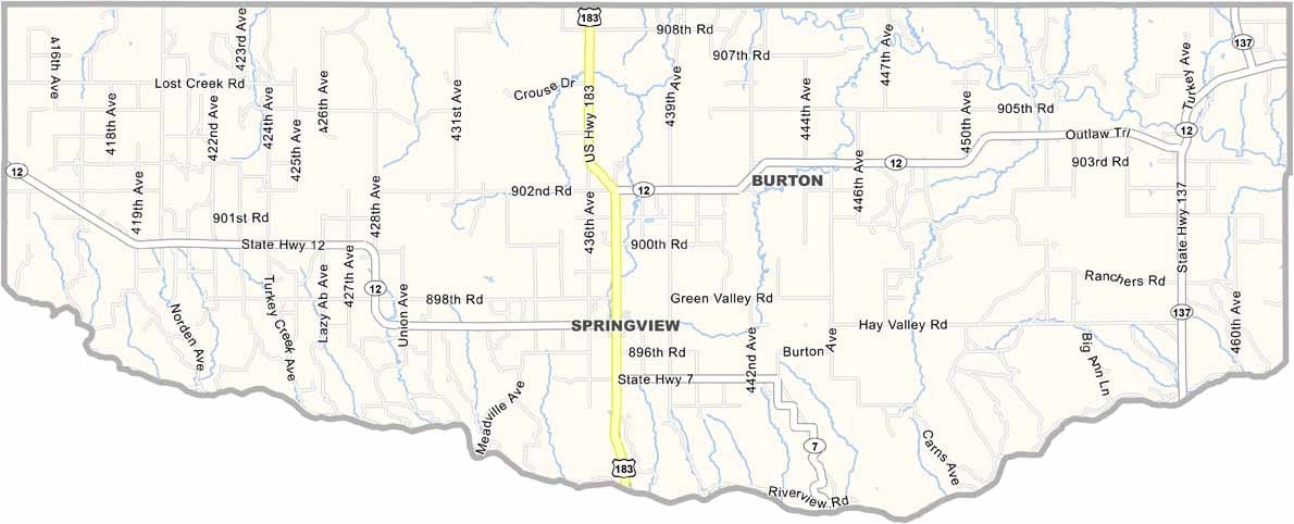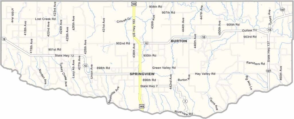
Keya Paha County Map, Nebraska

Keya Paha County, Nebraska

Keya Paha County is located in north-central Nebraska, right along the South Dakota border. It’s about as rural as it gets. Springview is the only real town, with a population of fewer than 300 people.

Ranching is the main way of life here, with more cattle than people. The Niobrara River flows through the county, creating some spectacular scenery while also forming the southern boundary.

The landscape features rolling hills and deep canyons, which may not be what most people picture when they think of Nebraska. Community is important here, and everyone seems to know everyone. It’s the kind of place where neighbors still look out for one another.
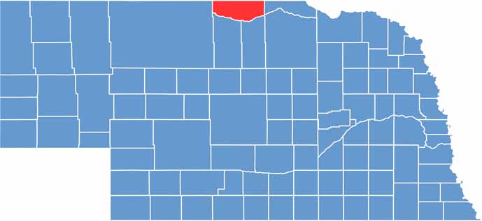

Keya Paha County location map of Nebraska
CategoryDetails
County NameKeya Paha County
County SeatSpringview
EtymologyNamed after the Keya Paha River, which is derived from the Lakota word meaning “turtle hill”
Cities, Towns, and CommunitiesSpringview, Burton, Mills
Interstates and HighwaysUS 183, NE 12
FIPS Code31-103
Total Area (Land and Water)774 square miles (Land: 773 sq mi, Water: 1 sq mi)
Adjacent Counties (and Direction)Tripp County, South Dakota (North), Gregory County, South Dakota (Northeast), Boyd County (East), Holt County (Southeast), Rock County (South), Brown County (South), Cherry County (West), Todd County, South Dakota (Northwest)
Time ZoneCentral Time Zone (CT)
StateNebraska
Coordinates42.9040° N, 99.7462° W
Major LandmarksNiobrara National Scenic River, Keya Paha County Historical Society Museum
PopulationApproximately 750
Scroll to Top