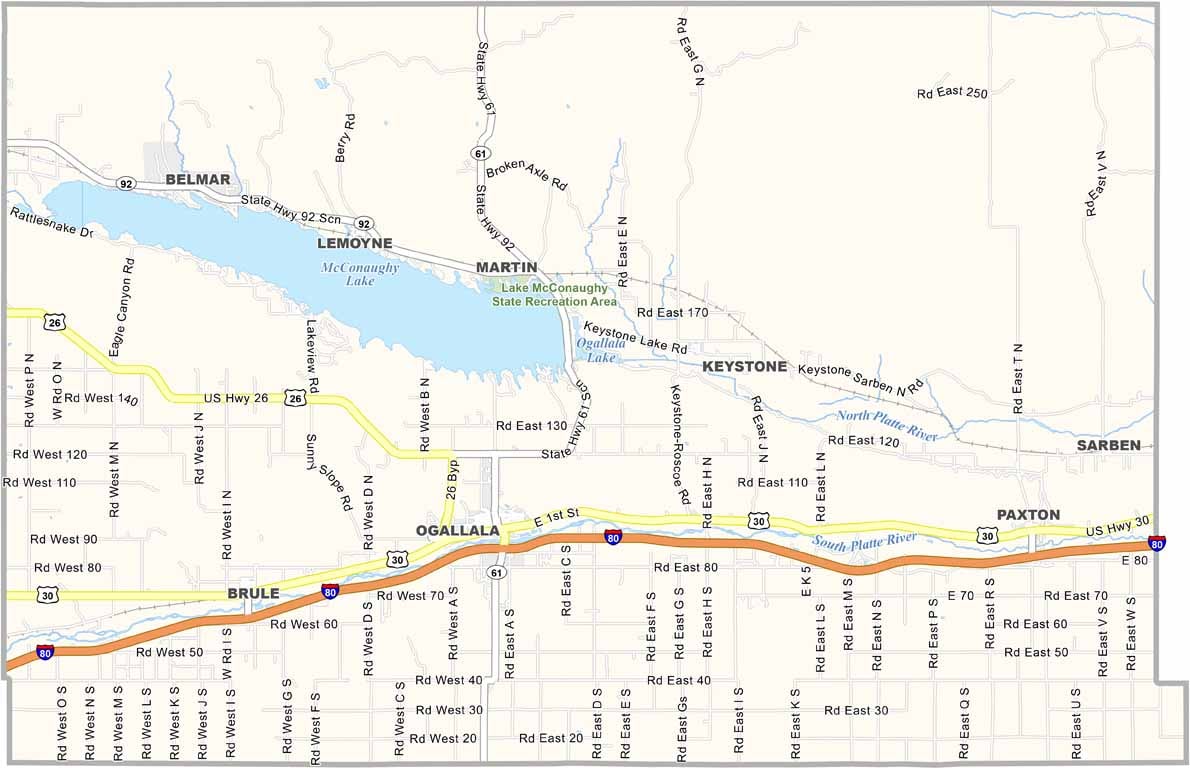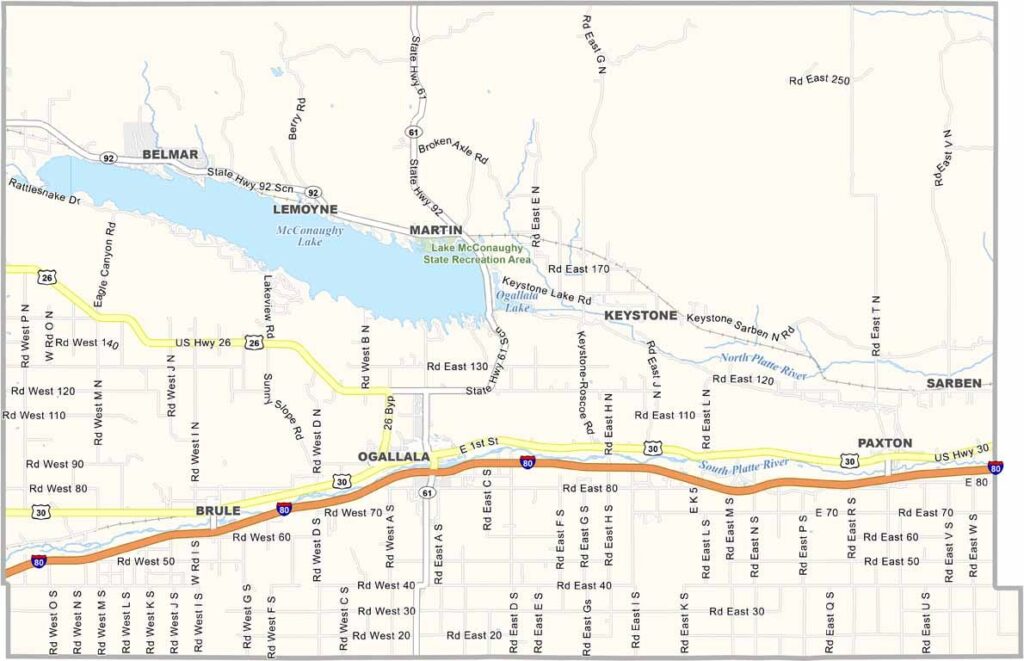
Keith County Map, Nebraska

Keith County, Nebraska

Keith County is located in western Nebraska and is best known for Lake McConaughy. Locals call it “Big Mac” because it’s the largest lake in the state. It attracts visitors from all over for fishing, boating, and camping.

Ogallala serves as the county seat and was once a wild cow town back in the day. Today, it’s a quiet community along I-80. The local economy relies heavily on agriculture and tourism.

Residents are accustomed to the area’s rough weather. The Platte River runs along the southern edge of the county and serves as a major flyway for sandhill cranes. During migration season, it’s quite a sight.
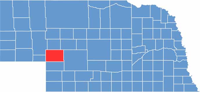

Keith County location map of Nebraska
CategoryDetails
County NameKeith County
County SeatOgallala
EtymologyNamed after M. C. Keith, a local cattle baron and rancher
Cities, Towns, and CommunitiesOgallala, Brule, Keystone, Paxton
Interstates and HighwaysI-80, US 30, US 26, NE 61
FIPS Code31-101
Total Area (Land and Water)1,110 square miles (Land: 1,062 sq mi, Water: 48 sq mi)
Adjacent Counties (and Direction)Arthur County (North), McPherson County (Northeast), Lincoln County (East), Perkins County (South), Deuel County (West), Garden County (Northwest)
Time ZoneMountain Time Zone (MT)
StateNebraska
Coordinates41.1544° N, 101.7240° W
Major LandmarksLake McConaughy State Recreation Area, Ash Hollow State Historical Park, Boot Hill Cemetery
PopulationApproximately 8,300
Scroll to Top