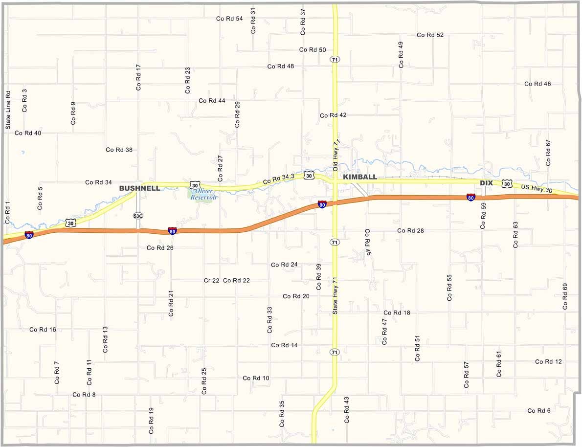
Kimball County Map, Nebraska

Kimball County, Nebraska

Kimball County is located in Nebraska’s Panhandle, right where Nebraska, Wyoming, and Colorado come together. It’s known as “The High Point of Nebraska,” and for good reason—the state’s highest elevation is found here.

Kimball serves as the county seat. The town was once an important stop along the Union Pacific Railroad, but today it’s a quiet little community. Farming remains important, with wheat being the main crop. Oil and natural gas production also contribute to the local economy.

Winters here are long and cold. Really cold. The wind seems to blow nonstop. Panorama Point, the highest point in Nebraska, is a popular tourist attraction—well, as popular as anything gets out here.
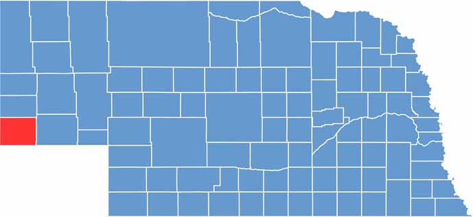

Kimball County location map of Nebraska
CategoryDetails
County NameKimball County
County SeatKimball
EtymologyNamed after Thomas Lord Kimball, a railroad official
Cities, Towns, and CommunitiesKimball, Dix, Bushnell
Interstates and HighwaysI-80, US 30, NE 71
FIPS Code31-105
Total Area (Land and Water)952 square miles (Land: 952 sq mi, Water: 0.2 sq mi)
Adjacent Counties (and Direction)Banner County (North), Cheyenne County (East), Logan County, Colorado (Southeast), Weld County, Colorado (Southwest), Laramie County, Wyoming (West)
Time ZoneMountain Time Zone (MT)
StateNebraska
Coordinates41.2033° N, 103.6986° W
Major LandmarksPanorama Point (highest point in Nebraska), Oliver Reservoir State Recreation Area
PopulationApproximately 3,500
Scroll to Top