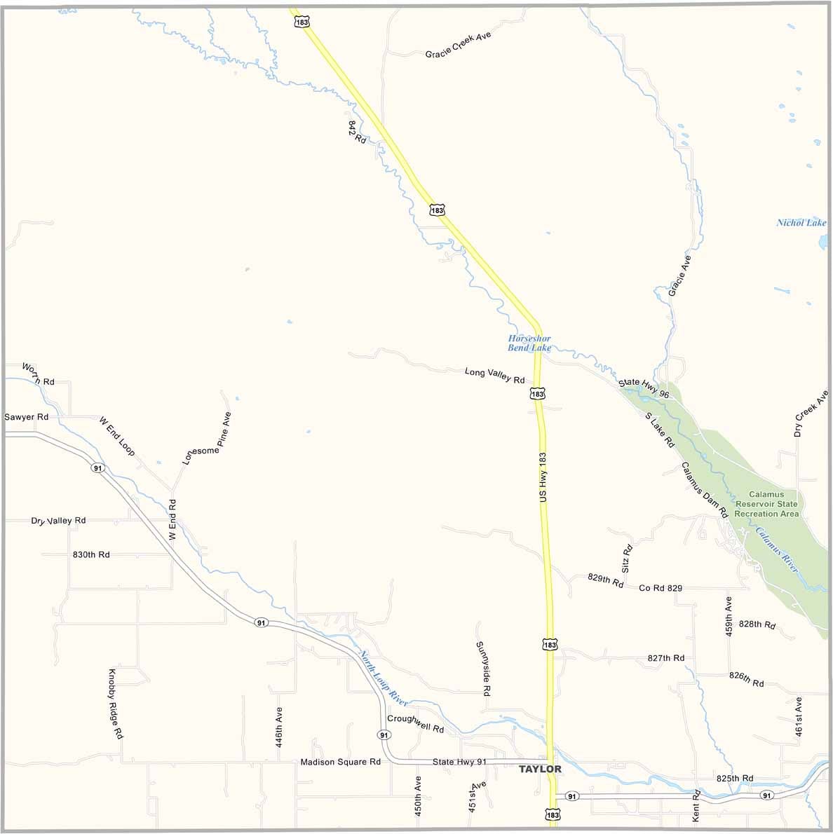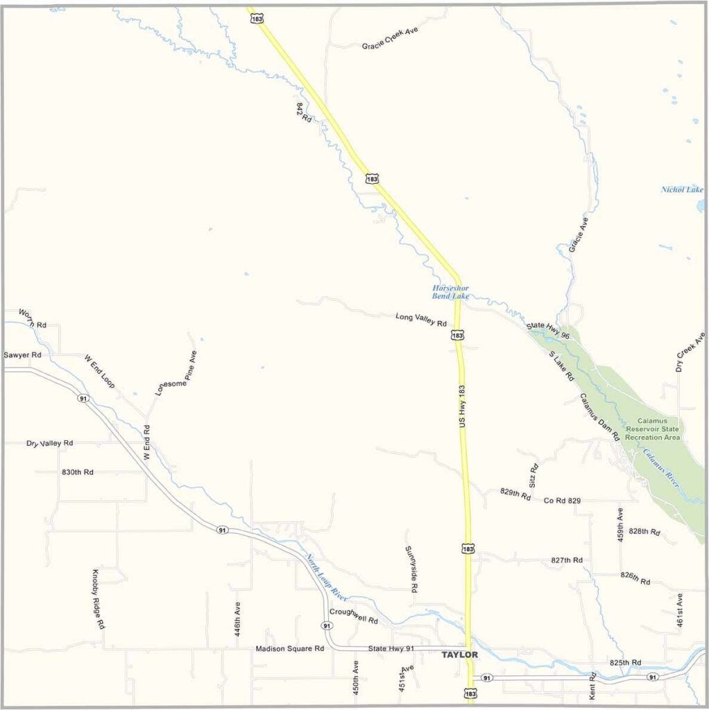
Loup County Map, Nebraska

Loup County, Nebraska

Loup County is located in north-central Nebraska. It’s a tiny county population-wise and is one of the least populated counties in the state.

Taylor serves as the county seat and has fewer than 200 residents. The Calamus River flows through the area, creating some beautiful scenery. There’s also a recreation area that shares the river’s name.

The landscape features rolling hills and deep valleys, which may not be what most people picture when they think of Nebraska. Ranching is the main industry, with cattle grazing across the grassy hills. Like many rural parts of Nebraska, community is important here. Neighbors still help one another, and that’s simply the way things are done.
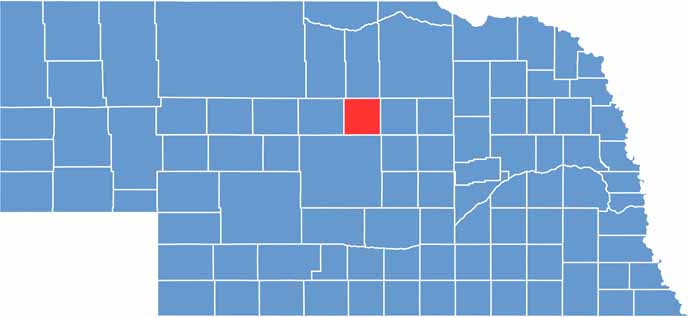

Loup County location map of Nebraska
CategoryDetails
County NameLoup County
County SeatTaylor
EtymologyNamed after the Loup River, which runs through the county
Cities, Towns, and CommunitiesTaylor, Almeria
Interstates and HighwaysNE 91, NE 183
FIPS Code31-115
Total Area (Land and Water)570 square miles (Land: 568 sq mi, Water: 2 sq mi)
Adjacent Counties (and Direction)Holt County (Northeast), Garfield County (East), Custer County (South), Blaine County (West), Brown County (Northwest), Rock County (North)
Time ZoneCentral Time Zone (CT)
StateNebraska
Coordinates41.8790° N, 99.4272° W
Major LandmarksCalamus Reservoir State Recreation Area, Loup Rivers Scenic Byway
PopulationApproximately 600
Scroll to Top