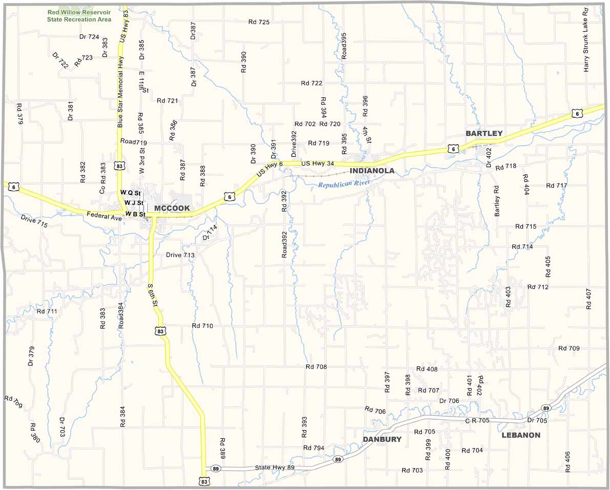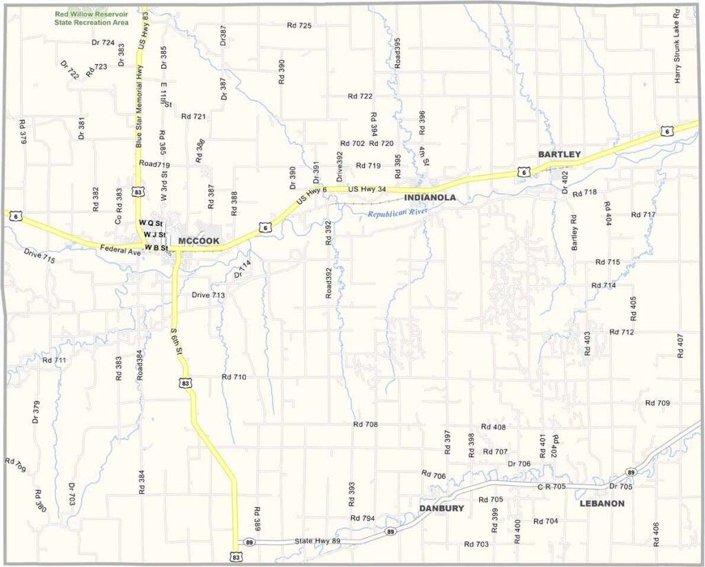
Red Willow County Map, Nebraska

Red Willow County, Nebraska

Red Willow County is tucked away in southwestern Nebraska along the Kansas border. McCook is the largest town and serves as the county seat. The area is known as the “Capital of the Buffalo Commons.”

The Republican River flows through the county, creating scenic spots for fishing and camping. Agriculture remains the backbone of the local economy.

The landscape combines river valleys with rolling hills, creating a rugged prairie setting. George Norris, the man behind the Rural Electrification Act, also called this area home. People here take pride in that connection.
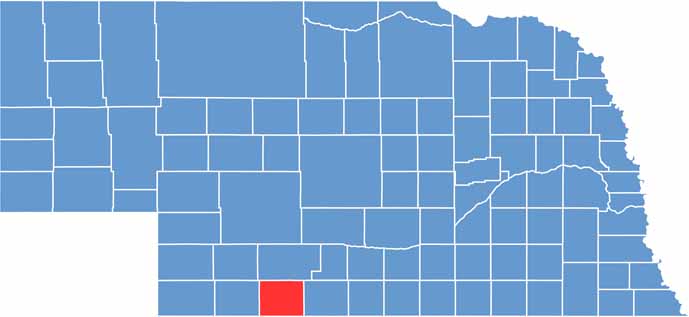

Red Willow County location map of Nebraska
CategoryDetails
County NameRed Willow County
County SeatMcCook
EtymologyNamed after Red Willow Creek, a stream running through the county
Cities, Towns, and CommunitiesMcCook, Indianola, Bartley, Danbury, Lebanon
Interstates and HighwaysUS 6, US 34, US 83
FIPS Code31-145
Total Area (Land and Water)718 square miles (Land: 716 sq mi, Water: 2 sq mi)
Adjacent Counties (and Direction)Furnas County (East), Decatur County, Kansas (South), Rawlins County, Kansas (Southwest), Hitchcock County (West), Frontier County (North)
Time ZoneCentral Time Zone (CT)
StateNebraska
Coordinates40.1966° N, 100.6502° W
Major LandmarksMuseum of the High Plains, Red Willow Reservoir State Recreation Area, Senator George W. Norris State Historic Site
PopulationApproximately 10,500
Scroll to Top