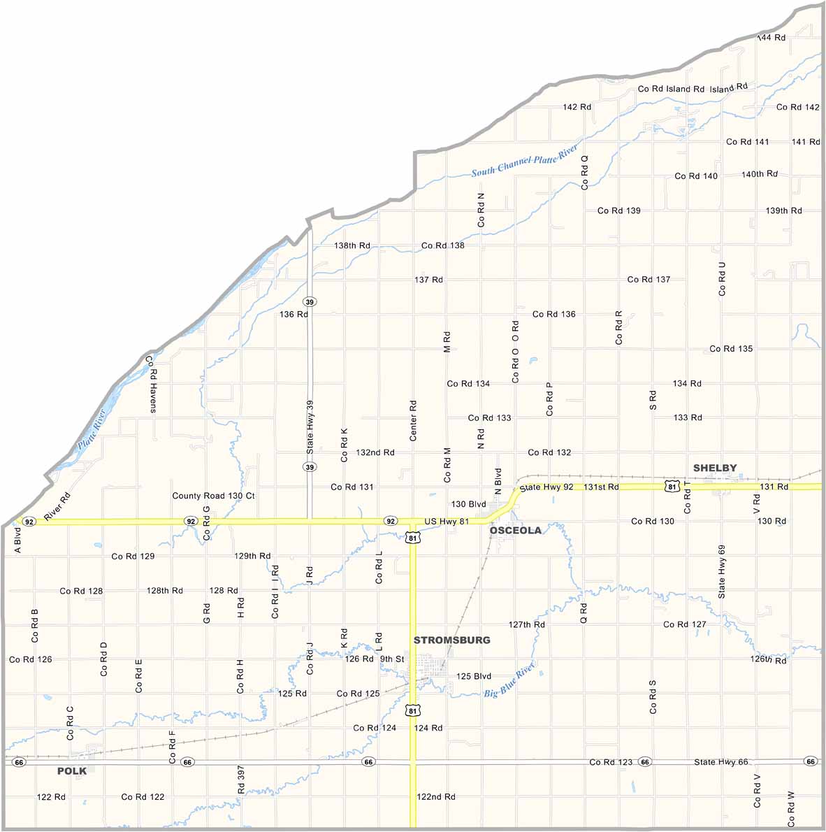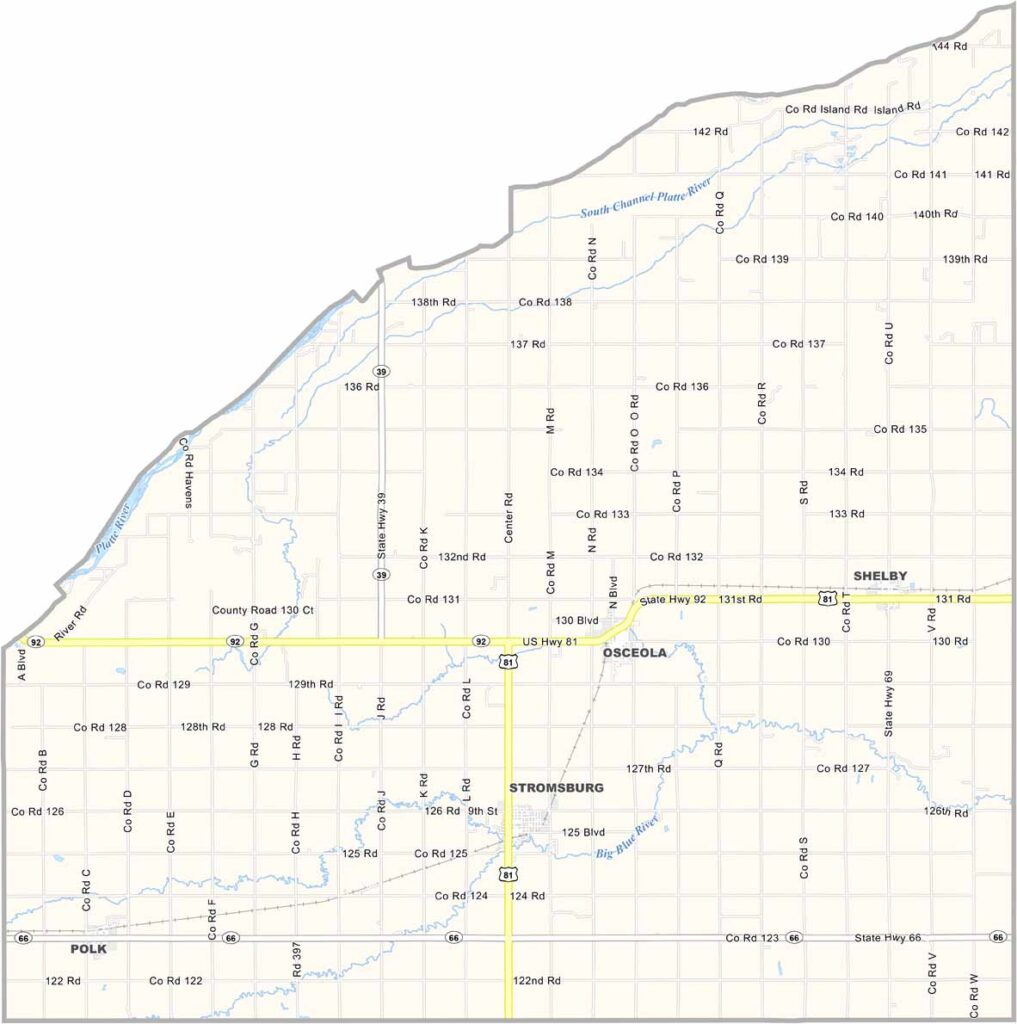
Polk County Map, Nebraska

Polk County, Nebraska

Polk County is located in central eastern Nebraska. Osceola serves as the county seat, and its location makes the county a central gathering place for local events and activities.

The landscape is mostly flat, making it well suited for farming. Corn and soybeans stretch across much of the countryside, while cattle farming also plays a role.

The population has remained fairly steady over the years. The Platte River forms the northern boundary. Winters can be harsh, and summers can be just as challenging, but spring and fall bring beautiful weather. Community remains important here, with neighbors still looking out for one another.
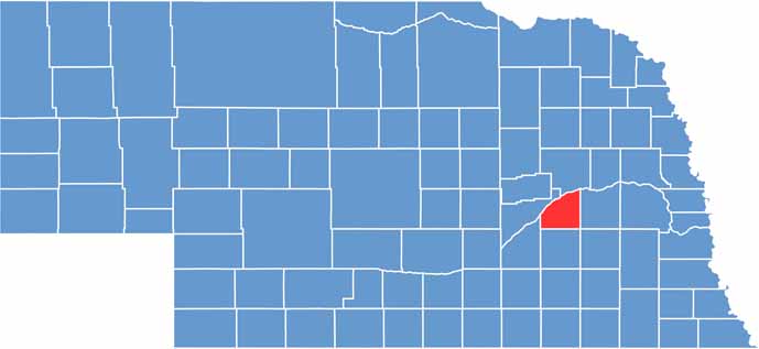

Polk County location map of Nebraska
CategoryDetails
County NamePolk County
County SeatOsceola
EtymologyNamed after James K. Polk, the 11th President of the United States
Cities, Towns, and CommunitiesOsceola, Stromsburg, Shelby, Polk
Interstates and HighwaysUS 81, NE 39, NE 66, NE 92
FIPS Code31-143
Total Area (Land and Water)441 square miles (Land: 439 sq mi, Water: 2 sq mi)
Adjacent Counties (and Direction)Butler County (East), Seward County (Southeast), York County (South), Hamilton County (Southwest), Merrick County (West), Platte County (North)
Time ZoneCentral Time Zone (CT)
StateNebraska
Coordinates41.1975° N, 97.5717° W
Major LandmarksPolk County Historical Museum, Osceola Golf Course, Stromsburg Swedish Festival
PopulationApproximately 5,200
Scroll to Top