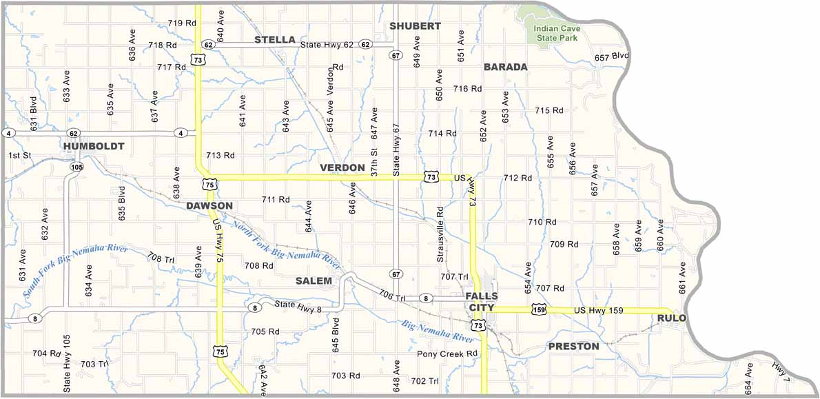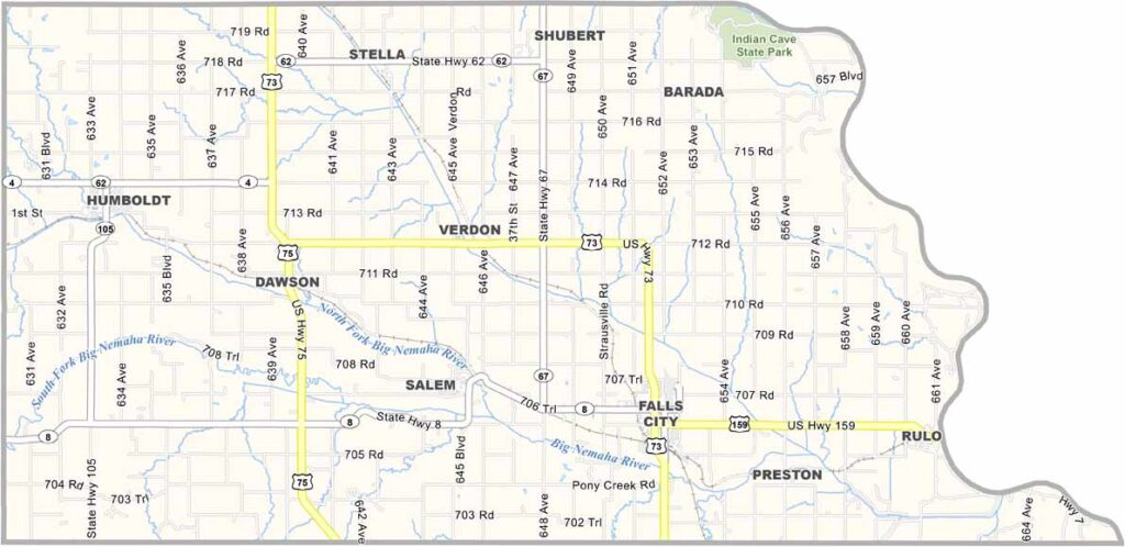
Richardson County Map, Nebraska

Richardson County, Nebraska

The southeastern corner of Nebraska is home to Richardson County. It sits along the Missouri River and borders Kansas to the south and Missouri to the east.

Falls City serves as the county seat and is located along U.S. Highway 73. The county features a mix of farmland and forests. Agriculture remains an important industry, while manufacturing also contributes to the local economy.

The Sac and Fox Nation has a reservation in the county, adding to its cultural diversity. Richardson County is the kind of place where everyone seems to know everyone. It’s small-town Nebraska at its finest.
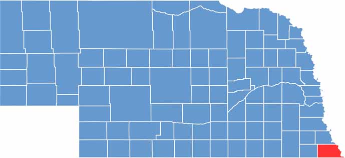

Richardson County location map of Nebraska
CategoryDetails
County NameRichardson County
County SeatFalls City
EtymologyNamed after William A. Richardson, a U.S. Senator from Illinois
Cities, Towns, and CommunitiesFalls City, Humboldt, Rulo, Verdon, Stella, Salem, Dawson, Shubert
Interstates and HighwaysUS 73, US 75, US 159
FIPS Code31-147
Total Area (Land and Water)555 square miles (Land: 552 sq mi, Water: 3 sq mi)
Adjacent Counties (and Direction)Nemaha County (North), Holt County, Missouri (East), Doniphan County, Kansas (Southeast), Brown County, Kansas (South), Nemaha County, Kansas (Southwest), Pawnee County (West)
Time ZoneCentral Time Zone (CT)
StateNebraska
Coordinates40.0509° N, 95.7524° W
Major LandmarksIndian Cave State Park, Richardson County Museum, Falls City Library & Arts Center
PopulationApproximately 7,900
Scroll to Top