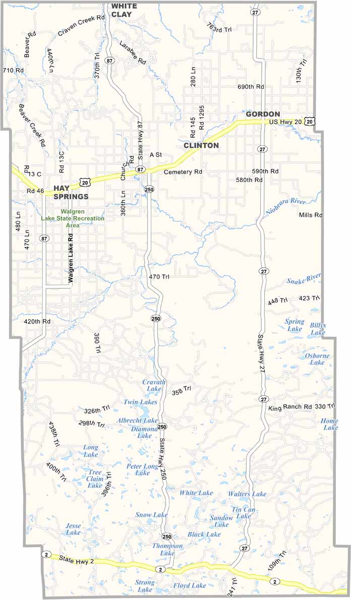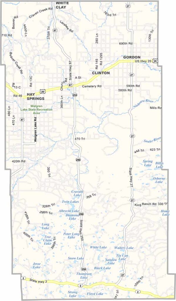
Sheridan County Map, Nebraska

Sheridan County, Nebraska

Sheridan County is located in northwestern Nebraska and is part of the Sandhills region. Gordon is the largest town, while Rushville serves as the county seat.

Ranching is a major part of life here, with cattle outnumbering people. The landscape is filled with rolling hills and open grasslands. It’s beautiful in a rugged, understated way.

Several small lakes are scattered throughout the county, providing opportunities for fishing. The population has been declining for years, but the people who remain have a strong connection to the area. For them, it’s home.
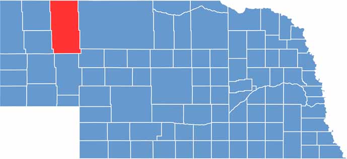

Sheridan County location map of Nebraska
CategoryDetails
County NameSheridan County
County SeatRushville
EtymologyNamed after General Philip Sheridan, a Union general in the American Civil War
Cities, Towns, and CommunitiesRushville, Gordon, Hay Springs, Whiteclay, Lakeside, and Ellsworth
Interstates and HighwaysU.S. Highway 20, Nebraska Highway 2, Nebraska Highway 87
FIPS Code31-161
Total Area (Land and Water)2,470 square miles (2,441 sq mi land, 29 sq mi water)
Adjacent Counties (and Direction)Oglala Lakota County, South Dakota (North), Cherry County (East), Grant County (Southeast), Garden County (South), Morrill County (Southwest), Dawes County (West), Box Butte County (West)
Time ZoneMountain Time Zone (MT)
StateNebraska
Coordinates42.5485° N, 102.4432° W
Major LandmarksFort Robinson State Park, Pine Ridge National Recreation Area, Toadstool Geologic Park
PopulationApproximately 5,100
Scroll to Top