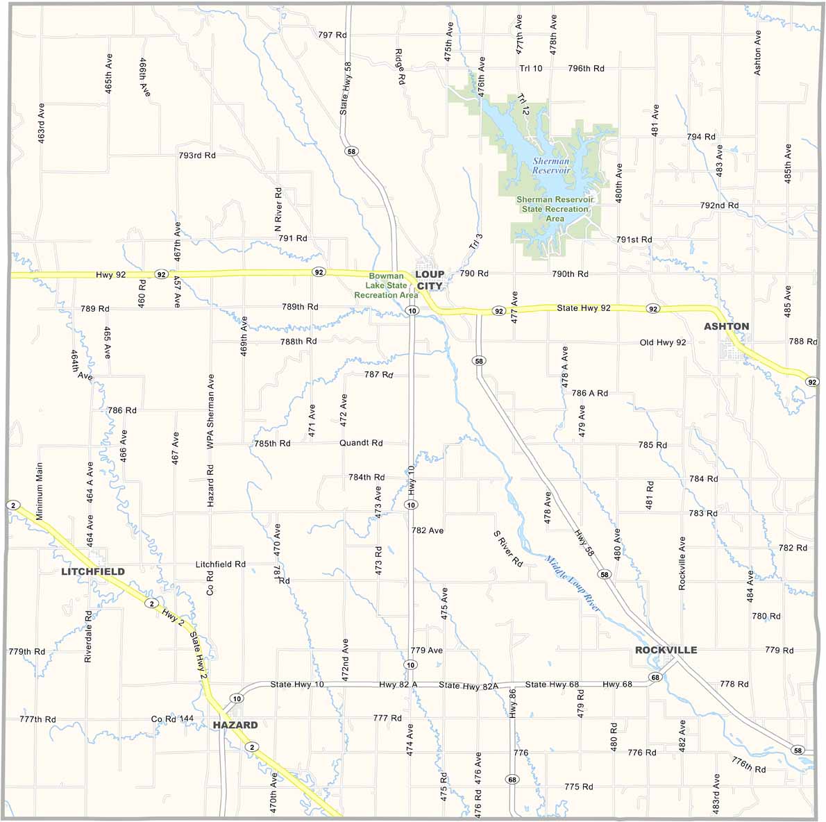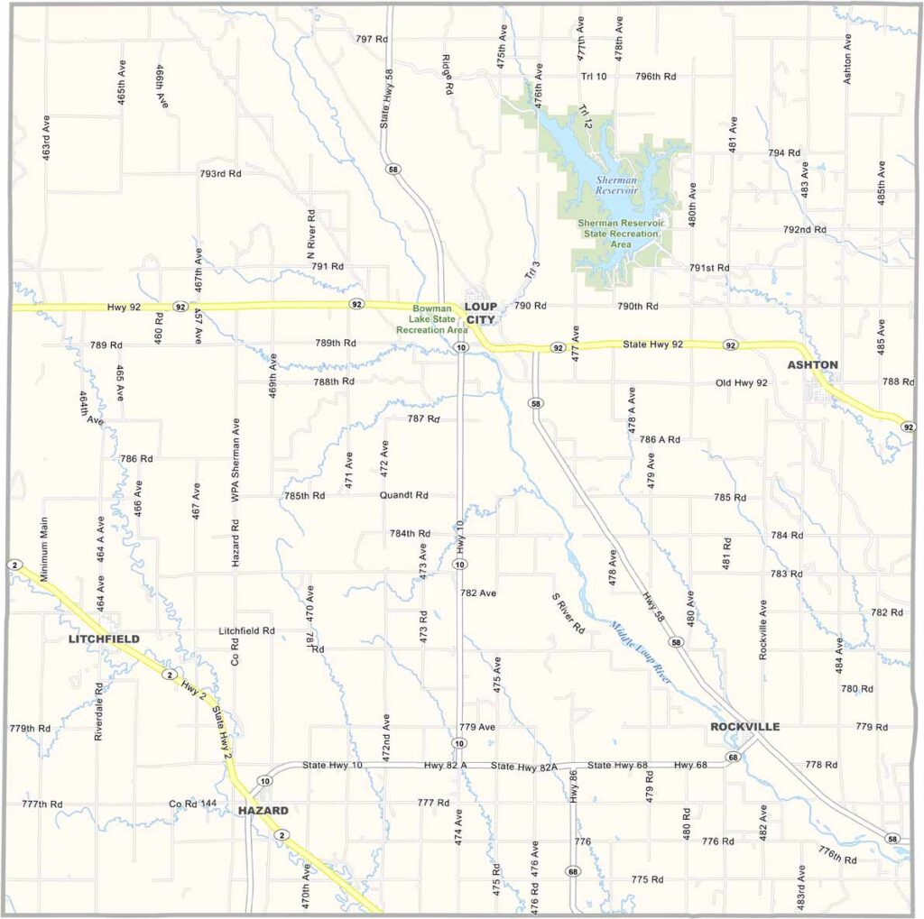
Sherman County Map, Nebraska

Sherman County, Nebraska

Central Nebraska is home to Sherman County. Loup City serves as the county seat and is known as the “Polish Capital of Nebraska.” No kidding.

Farming is the main way of life here. But there’s something special about this place. Maybe it’s the way neighbors look out for each other or the way they celebrate their heritage.

The Polish Days festival is a big community event that brings everyone together. Sherman County may be small in population, but it has a big heart. The Middle Loup River also runs through the area, adding some beautiful scenery.
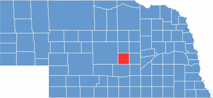

Sherman County location map of Nebraska
CategoryDetails
County NameSherman County
County SeatLoup City
EtymologyNamed after General William Tecumseh Sherman, a Union general during the American Civil War
Cities, Towns, and CommunitiesLoup City, Ashton, Hazard, Rockville
Interstates and HighwaysNebraska Highway 2, Nebraska Highway 58
FIPS Code31-163
Total Area (Land and Water)572 square miles (566 sq mi land, 6 sq mi water)
Adjacent Counties (and Direction)Howard County (East), Buffalo County (South), Custer County (West), Valley County (North), Greeley County (Northeast)
Time ZoneCentral Time Zone (CT)
StateNebraska
Coordinates41.2181° N, 99.3678° W
Major LandmarksSherman Reservoir, Bowman Lake State Recreation Area
PopulationApproximately 2,900
Scroll to Top