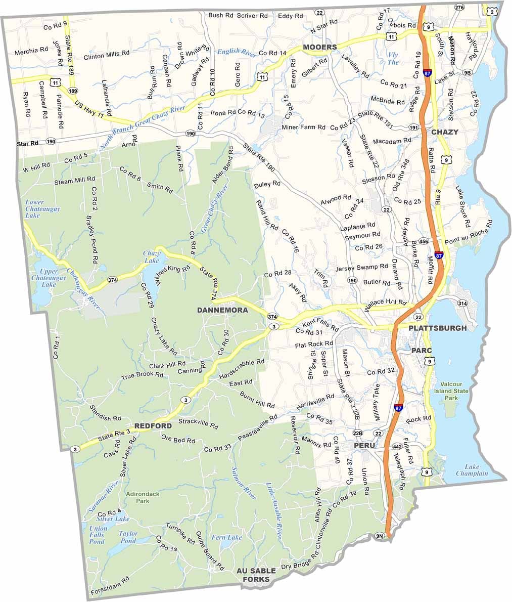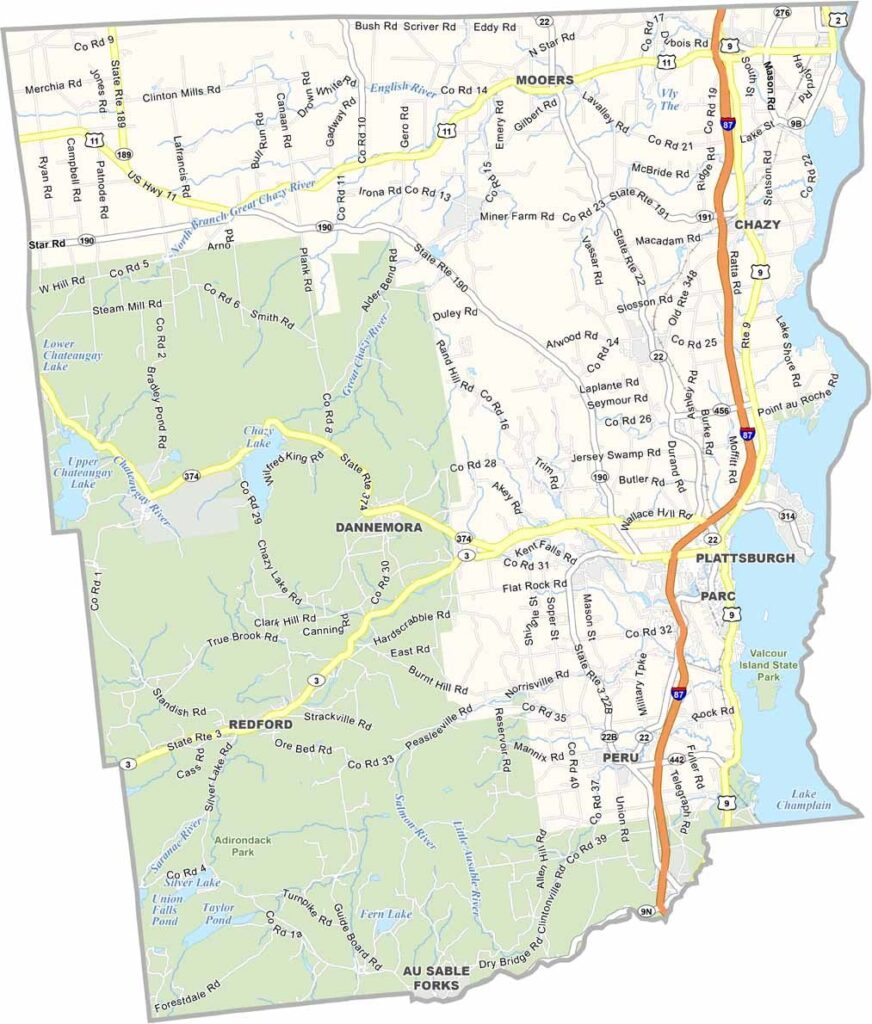
Clinton County Map, New York

Clinton County, New York

Clinton County sits at the top of New York, bordering Canada and hugging the western shore of Lake Champlain, a place where history and nature collide. Plattsburgh, the county seat, played a crucial role in the War of 1812, and you can still visit the battle sites today.

The Adirondack Coast is a big draw for tourists, with fishing, boating, and hiking among the popular pastimes. Adirondack Park covers a massive chunk of the southwestern region. Agriculture is big here too, and local farms produce some of the best apples in the state.

The county has strong ties to the Underground Railroad. Clinton Correctional Facility, one of New York's oldest prisons, is located in Dannemora. The area is known for its stunning fall foliage, and Ausable Chasm, dubbed the "Grand Canyon of the East," is a must-see natural wonder.
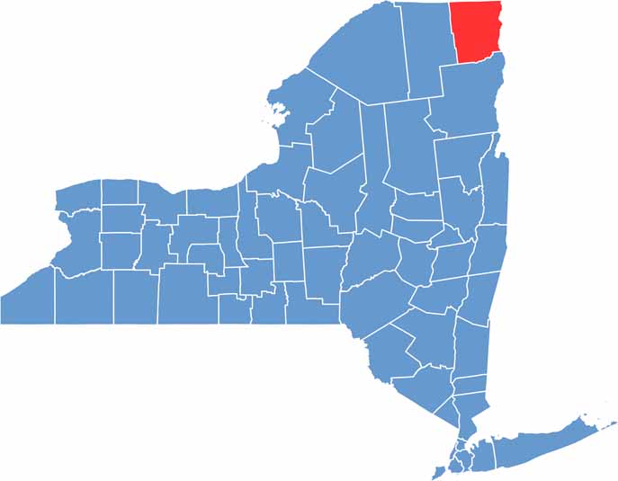

Clinton County location map of New York
CategoryDetails
County NameClinton County
County SeatPlattsburgh
EtymologyNamed after George Clinton, the first Governor of New York and Vice President of the United States
Cities, Towns, and CommunitiesPlattsburgh, Peru, Dannemora, Morrisonville, Rouses Point, Keeseville
Interstates and HighwaysInterstate 87, U.S. Route 9, New York State Route 3, New York State Route 22
FIPS Code36-019
Total Area (Land and Water)1,118 square miles (1,037 sq mi land, 81 sq mi water)
Adjacent Counties (and Direction)Grand Isle County, Vermont (East), Chittenden County, Vermont (Southeast), Essex County (South), Franklin County (West)
Time ZoneEastern Time Zone (ET)
StateNew York
Coordinates44.6930° N, 73.4529° W
Major LandmarksAusable Chasm, Plattsburgh City Beach, Clinton Community College, Point Au Roche State Park
PopulationApproximately 79,000
Scroll to Top